PA Section 12 Pictures - Milemarker 3.2 - 4.2
James Fry (Tagg Run) Shelter Trail - Rock Outcropping
Move your mouse across the pictures for more information.
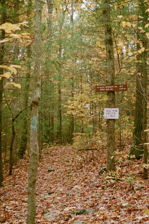
mm 3.2 New sign (2008) at the blue-blazed trail to the former Tagg Run Shelter, now called the James Fry Shelter at Tagg Run.
Submitted by dlcul @ conncoll.edu
mm 3.2 Trail crossing of picturesque but polluted Tagg Run. Taken in 2008
Submitted by dlcul @ conncoll.edu

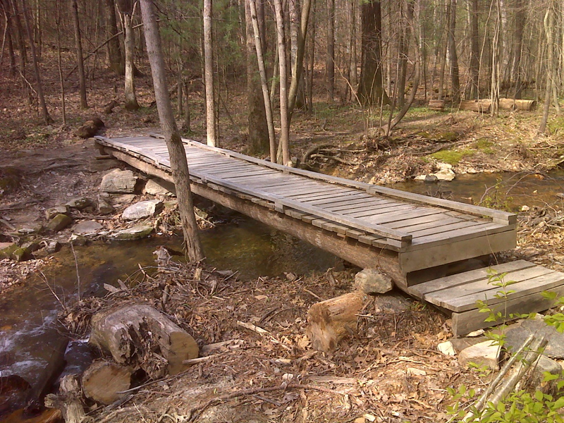
mm 3.2 Bridge over Tagg Run.Taken in April 2012. This appears to be a newer bridge than the one seen in the previous picture. GPS N40.0665 W 77.2065
Submitted by pjwetzel @ gmail.com
mm 3.2 Campsite near the intersection with the trail to James Fry (Tagg Run) Shelter
Submitted by dlcul @ conncoll.edu

mm 3.2 - Blue blazed trail to James Fry (Tagg Run) Shelter
Submitted by at @ rohland.org

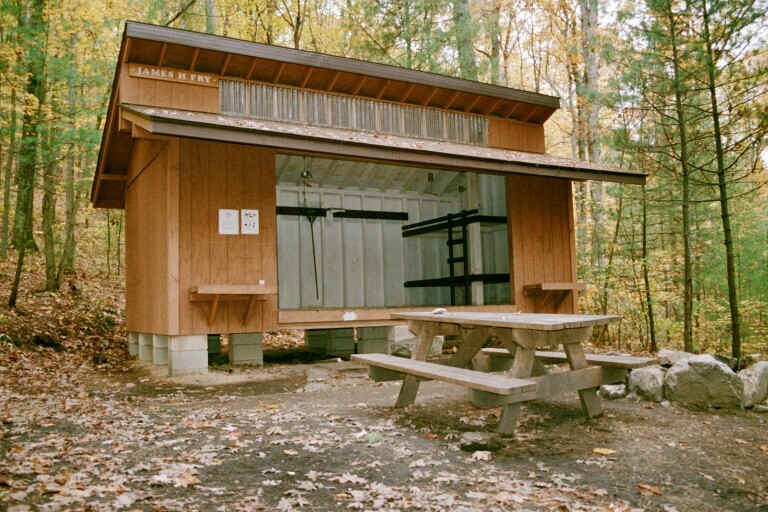
mm 3.2 - James Fry (Tagg Run) Shelter
Submitted by at @ rohland.org
Trail with rock outcropping on left. This is at the top of a hill between the Mountain Creek Campground Trail and Tagg Run. Taken at approx. mm 4.2
Submitted by dlcul @ conncoll.edu

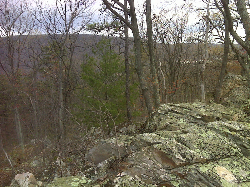
Winter view NW from rock outcrop at high point above Mountain Creek Campground. GPS N40.0589 W77.2187
Submitted by pjwetzel @ gmail.com