PA Section 12 Pictures - Milemarker 4.6 - 8.0
Mountain Creek Campground Trail - Pole Steeple Trail
Move your mouse across the pictures for more information.
MM 4.6 Junction with the blue-blazed trail which leads 0.7 miles to Mountain Creek Campground on Pine Grove Road. In this picture taken in 2008 there is no sign and the blazes are somewhat faded. This junction could easily have been missed.
Submitted by dlcul @ conncoll.edu
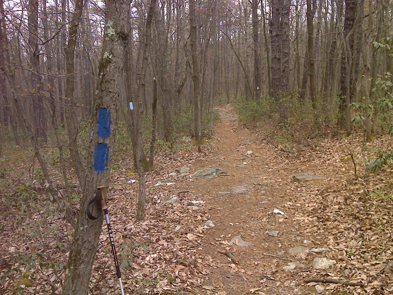
mm 4.6 A more recent (April 2012) picture of the junction with the 0.7 mile long trail to Mountain Creek Campground. The blue blazes appear to have been repainted. GPS N40.0444 W 77.2229
Submitted by pjwetzel @ gmail.com
AT just north of Limekiln Road. Taken at approx. MM 4.8
Submitted by dlcul @ conncoll.edu
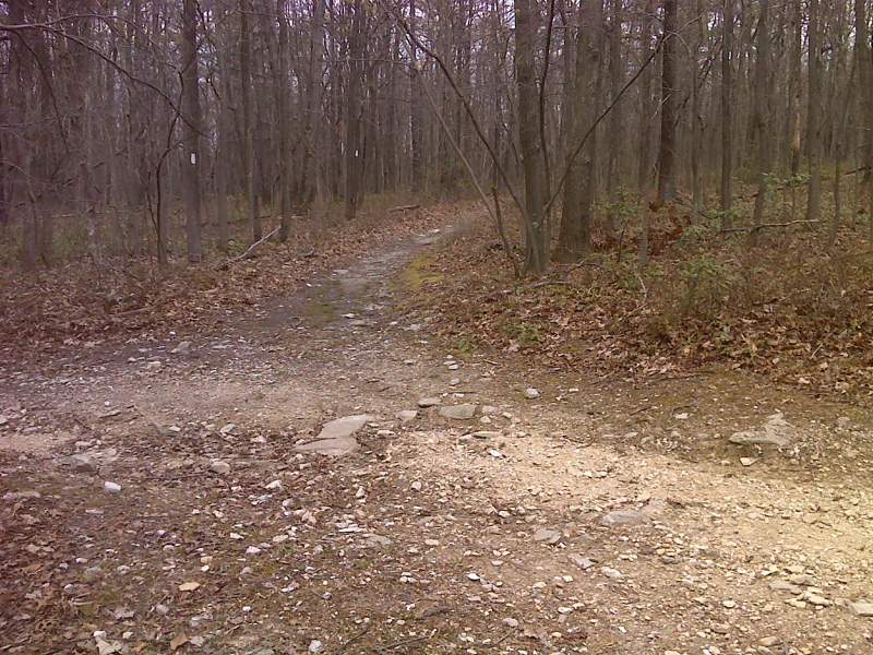
mm 4.9 The AT crosses Limekiln Road, a woods road. GPS N 40.0540 W77.2271
Submitted by pjwetzel @ gmail.com
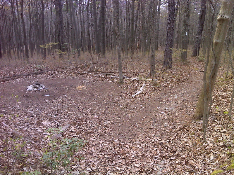
Leveled area (old homestead) campsite. GPS N40.0401 W77.2409
Submitted by pjwetzel @ gmail.com
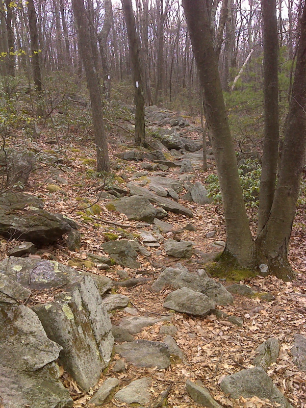
Short rocky stretch near the high point on Piney Mt. GPS N40.0303 W77.2528
Submitted by pjwetzel @ gmail.com
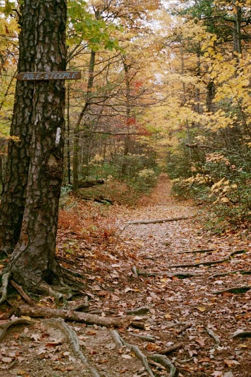
mm 8.0 - Turn off of AT to Pole Steeple Vista
Submitted by at @ rohland.org
MM 8.0 Another more recent (May 2008) view of the junction with the Pole Steeple Trail. Note the nice new sign.
Submitted by dlcul @ conncoll.edu