PA Section 2 Pictures - Milemarker 19.8 - 20.3
View of Lehigh Gap - Parking on East Side of Lehigh River
Move your mouse across the pictures for more information.
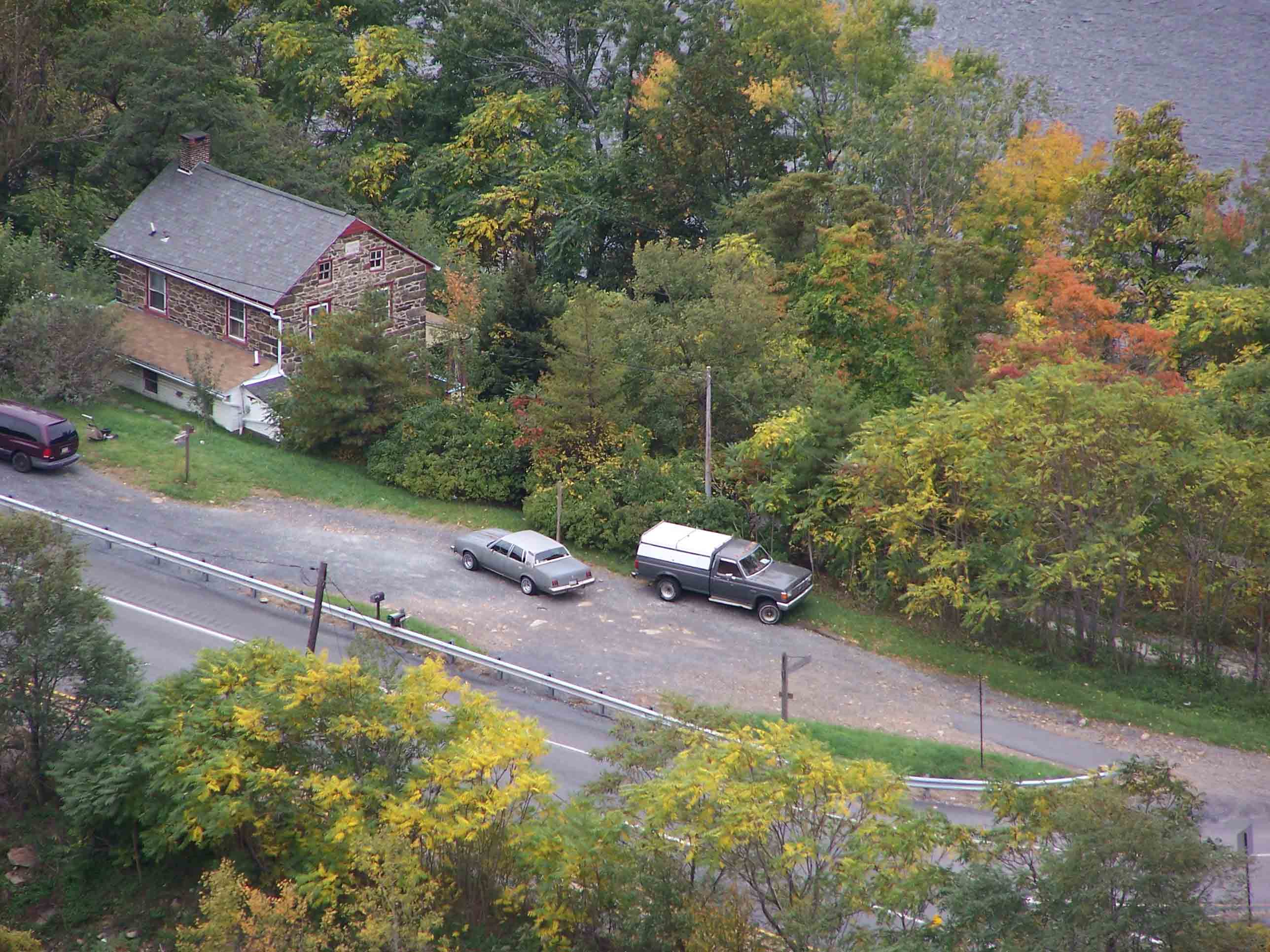
View of Lehigh Gap
Submitted by at @ rohland.org
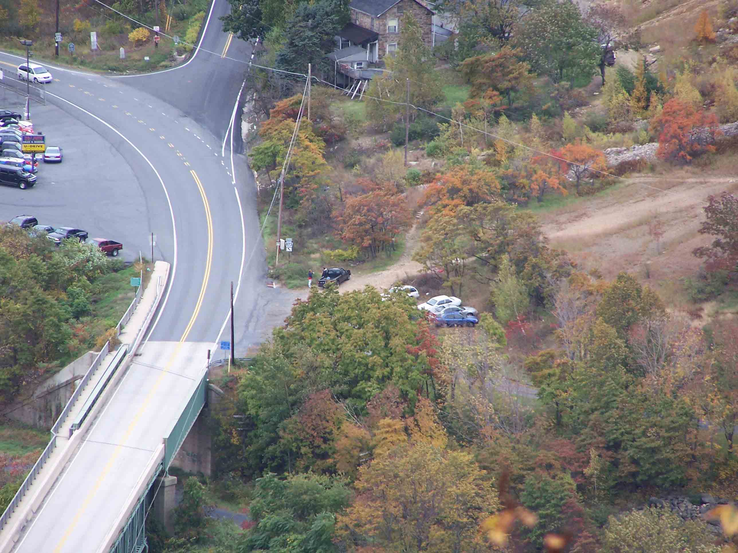
The parking area on the right side of the highway (PA Route 873) on the far side of the bridge is the AT parking at mm 20.7 (mm 0.0 for Sec. 3) in Lehigh Gap.
Submitted by at @ rohland.org
Parking area across Lehigh bridge
Submitted by jadams444 @ aol.com
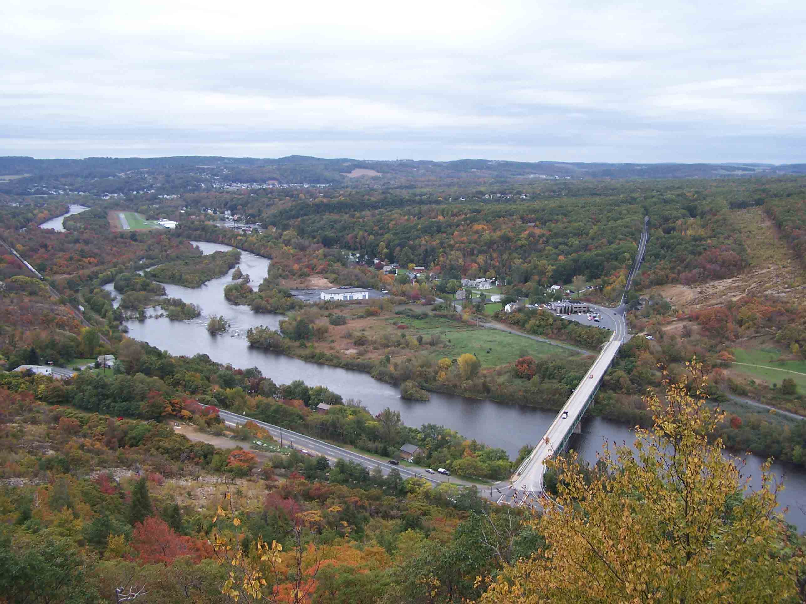
View of Lehigh Gap
Submitted by at @ rohland.org
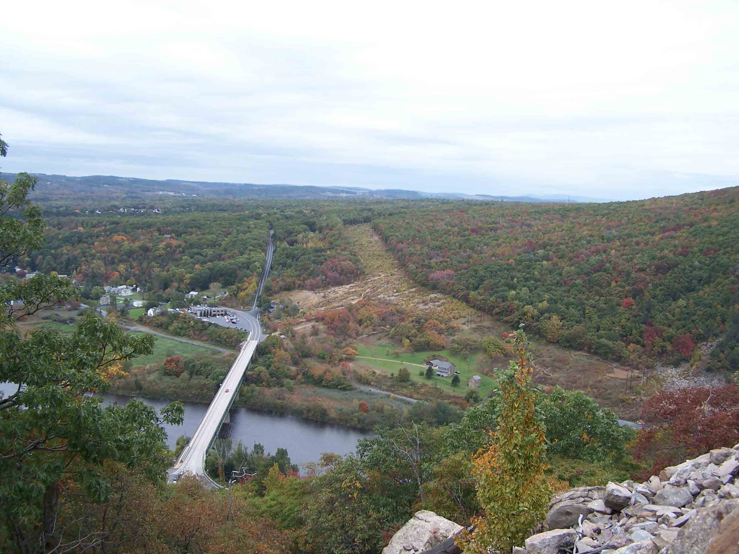
View of Lehigh Gap
Submitted by at @ rohland.org
View of Lehigh Gap
Submitted by at @ rohland.org
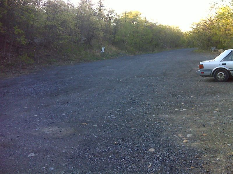
mm 20.3 Parking lot on the east side of the Lehigh River. This lot is currently (2012) day-use only. GPS N40.7831 W75.6041
Submitted by pjwetzel @ gmail.com
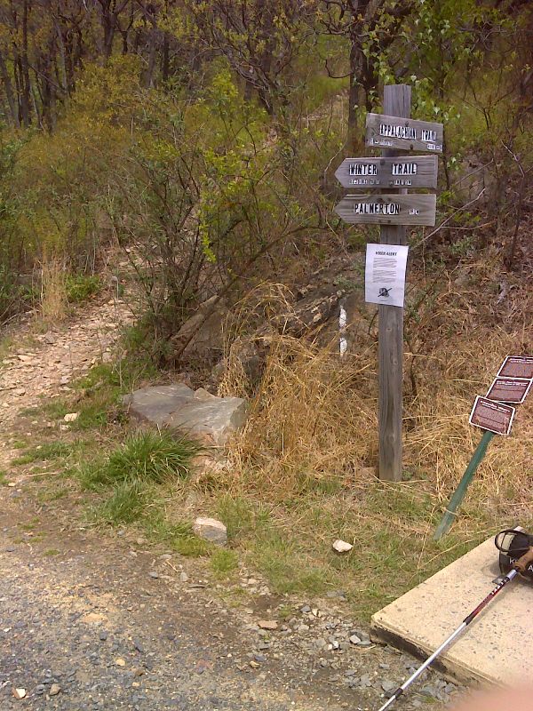
mm 20.3 At this point the northbound AT starts the steep ascent up the east side of Lehigh Gap.This is also the lower ed of the Winter Trail, an alternate route to the top of the ridge. GPS N40.7840 W75.6048
Submitted by pjwetzel @ gmail.com