PA Section 2 Pictures - Milemarker 16.6 - 19.3 (Relocation)
Relocation from Powerlines to Winter Trail
Move your mouse across the pictures for more information.
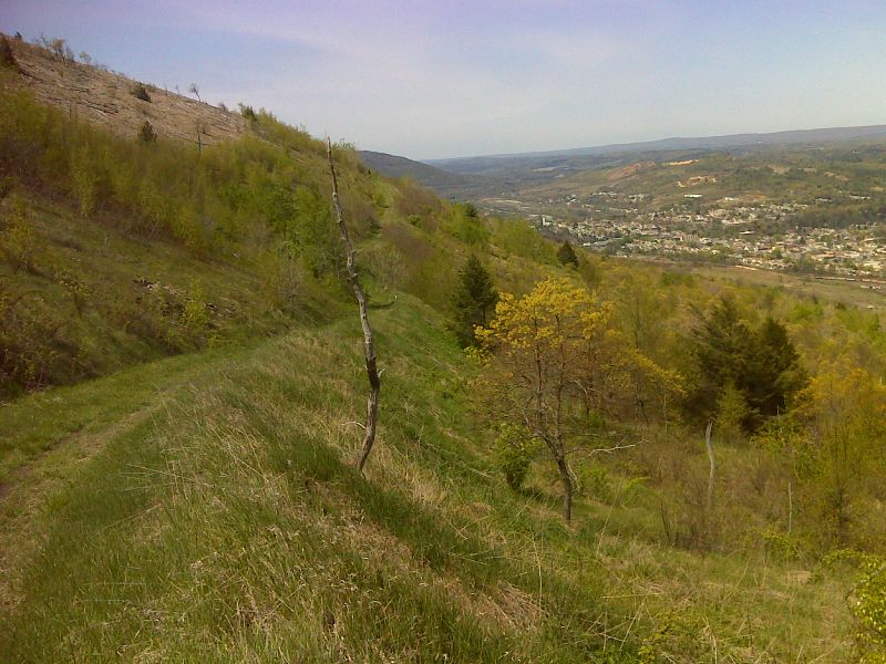
For years the AT followed an old road along the top of the ridge above Palmerton through the devastation caused by zinc smelting in that town. In 2008 the AT was rerouted between Little Gap (Mile 15.4) and the upper terminus of the Winter Trail (Mile 20.3). The old road is being used for truck traffic to aid in a remediation effort of this Superfund site. Most of the previous pictures from Little Gap south were taken in Fall 2006 on the old route. The next seven pictures were taken in Fall 2008 on the new route. This reroute is supposed to be temporary.
Section of the trail east (trail north) of the Superfund site
Submitted by jadams444 @ aol.com
Section of the trail on the Superfund site
Submitted by jadams444 @ aol.com
Part of the Superfund site
Submitted by jadams444 @ aol.com
A rerouted section of trail west (trail south) of the
Superfund site
Submitted by jadams444 @ aol.com

Restored hillside trail relocation above Palmerton. GPS N40.8014 W75.5778
Submitted by pjwetzel @ gmail.com
View of Palmerton industrial area
Submitted by jadams444 @ aol.com
View of the town of Palmerton, PA
Submitted by jadams444 @ aol.com
Another part of the rerouted section
Submitted by jadams444 @ aol.com