PA Section 3 Pictures - Milemarker 2.3 - 5.0
South Junction with North Trail - Blue Mountain/Ashfield Road
Move your mouse across the pictures for more information.

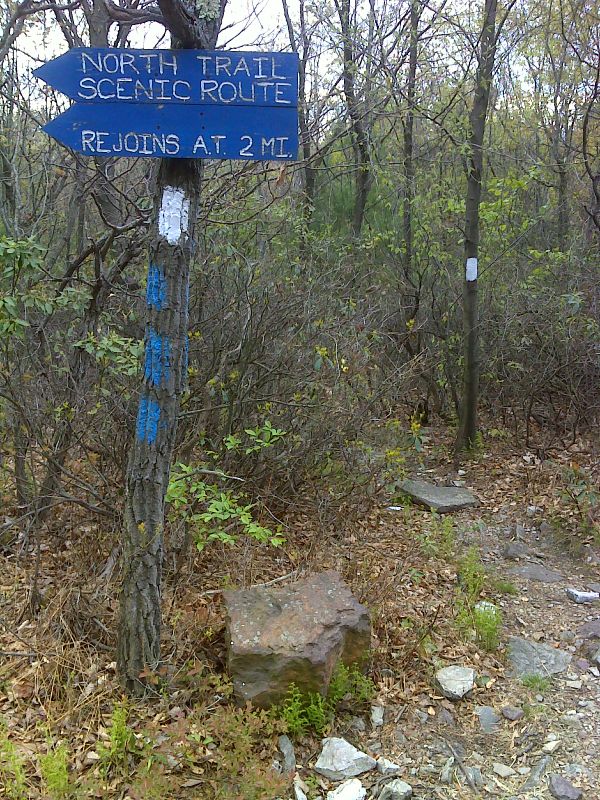
mm 2.3 Southern junction with the North Trail. GPS N40.7798 W75.6484
Submitted by pjwetzel @ gmail.com

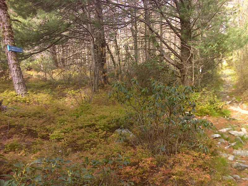
mm 2.9 Northern Junction of the blue-blazed South Trail. This is a rough and rocky but scenic trail that parallels the AT rejoining it at mm 4.0 GPS N40.7781 W75.6601
Submitted by pjwetzel @ gmail.com
View of Palmerton from AT between Lehigh Gap and Ashfield Road
Submitted by dlcul @ conncoll.edu
Barry and Marsha at viewpoint to north along AT between Lehigh Gap and Ashfield Road.
Submitted by dlcul @ conncoll.edu

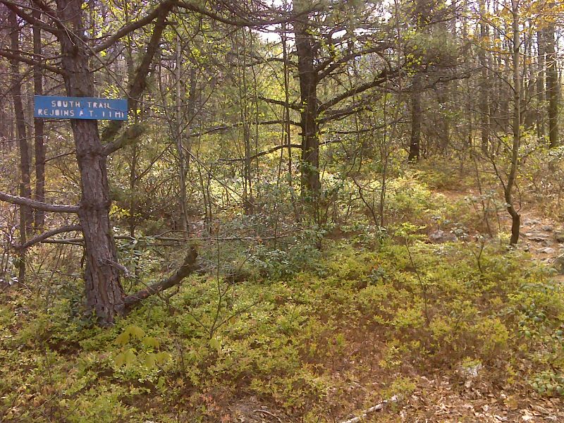
mm 4.0 Southern Junction of the blue-blazed South Trail. GPS N40.7757 W75.6751
Submitted by pjwetzel @ gmail.com

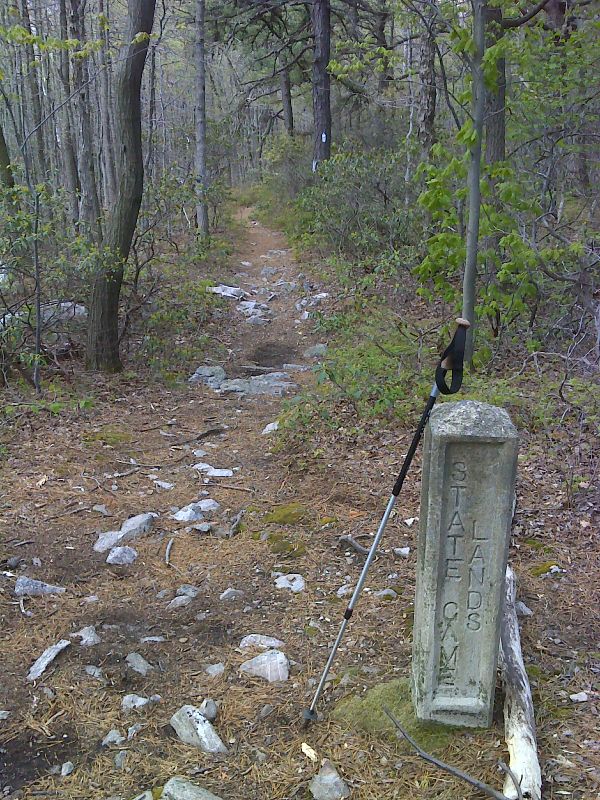
County line marker at north end of arrow straight trail section. GPS N40.7749 W75.6788
Submitted by pjwetzel @ gmail.com
mm 5.0 - Parking on Blue Mountain/ Ashfield Road. Because of a relocation, this particular area is now 0.2 miles from the actual trail crossing.
Submitted by at @ rohland.org
mm 5.0 - Parking on Blue Mountain/Ashfield Road. The AT used to follow Ashfield Road 0.2 miles. Southbound the trail went left just past where the RV is parked and started to follow a woods road. Due to a recent relocation, the trail now crosses the road directly and skips the road walk. However the area shown in the picture is still viable parking.
Submitted by at @ rohland.org