PA Section 5 Pictures - Milemarker 6.2 - 9.3
Campsite - Sand Spring Trail
Move your mouse across the pictures for more information.
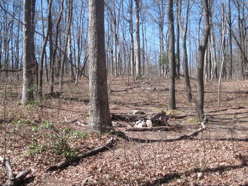
Campsite at approx. mm 6.2
Submitted by dlcul @ conncoll.edu
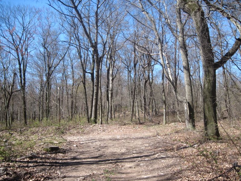
mm 6.7 Junction with old Cross Mountain Road. To the south, this woods road becomes a good gravel road in about 0.1 miles. This can be followed to a Gameland parking area near Shartlesville.GPS N40.5588 W76.1151 (See mm 6.7 in listings).
Submitted by dlcul @ conncoll.edu
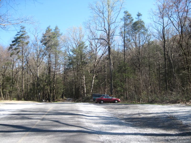
mm 6.7 Gamelands parking area at the end of Northkill Road near Shartlesville. The road beyond this point is usually gated. From this point it is 1.6 miles to the AT. Access is also possible at mm 5.2, 8.8 and 9.3, the last via the Sand Spring Trail. See listings for PA Section 5. GPS N 40.33 W 76.06
Submitted by dlcul @ conncoll.edu
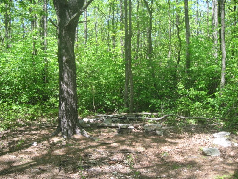 .
.
Campsite at approx, mm 7.0
Submitted by dlcul @ conncoll.edu
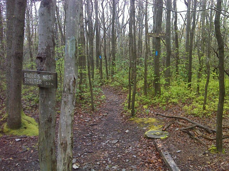
mm 8.6 Side Trail to Eagles Nest Shelter, GPS 40.5505 W76.1473
Submitted by pjwetzel @ gmail.com
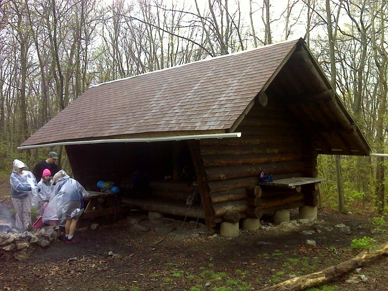
mm 8.6 Eagles Nest Shelter, GPS 40.5494 W76.1523
Submitted by pjwetzel @ gmail.com
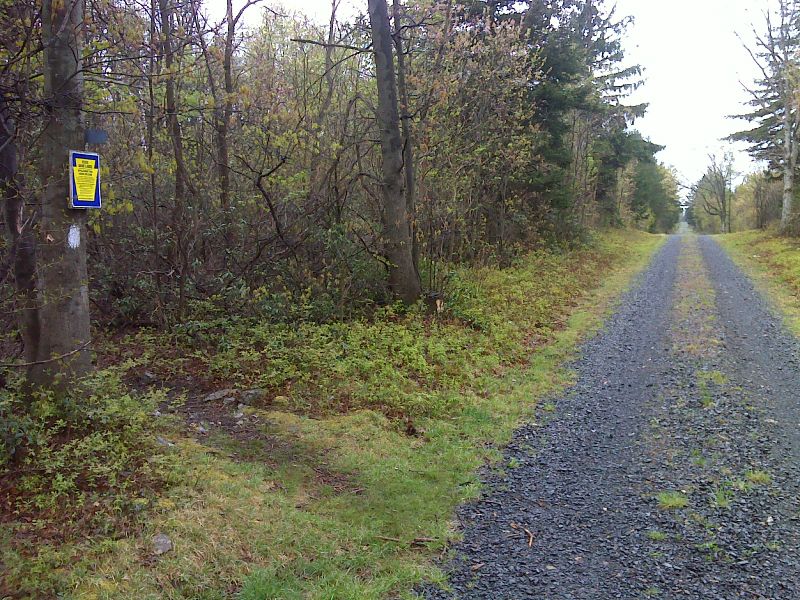
mm 8.8 The AT crosses an arrow-straight Gamelands service road. This is not the same one crossed trail north of here. GPS 4T.5480 W76.1478
Submitted by pjwetzel @ gmail.com
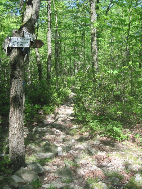
mm 9.3 Junction with the blue-blazed Sand Spring Trail. This leads 2.0 miles to the Gameland parking lot near Shartlesville. GPS N40.5420 W76.1497
Submitted by dlcul @ conncoll.edu