PA Section 7 Pictures - Milemarker 14.2 - 17.4
Northern Terminus of Horseshoe Trail - Clark's Valley
Move your mouse across the pictures for more information.
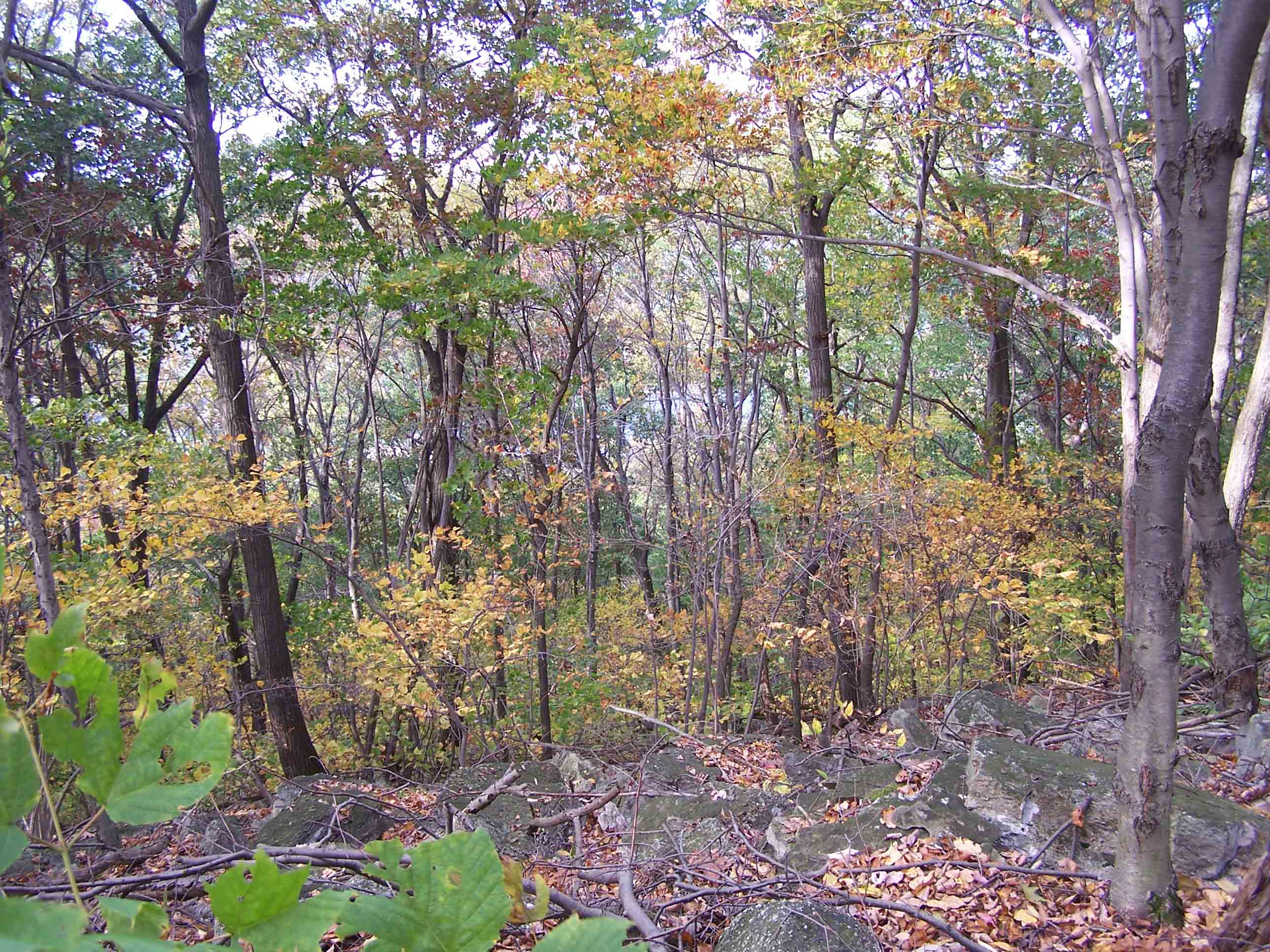
Trail between Horseshoe Trail and Clarks Creek
Submitted by at @ rohland.org
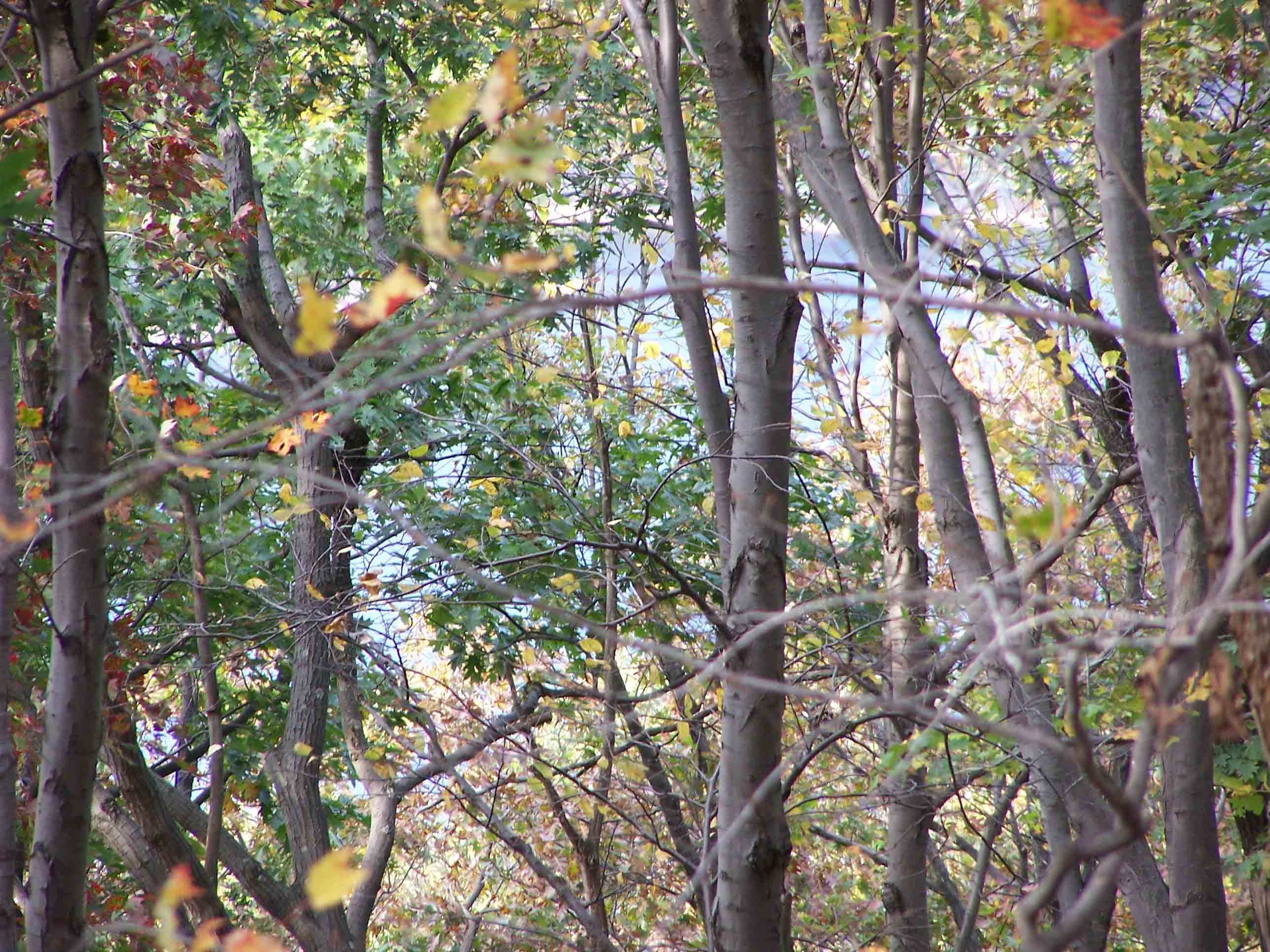
Trail between Horseshoe Trail and Clarks Creek
Submitted by at @ rohland.org
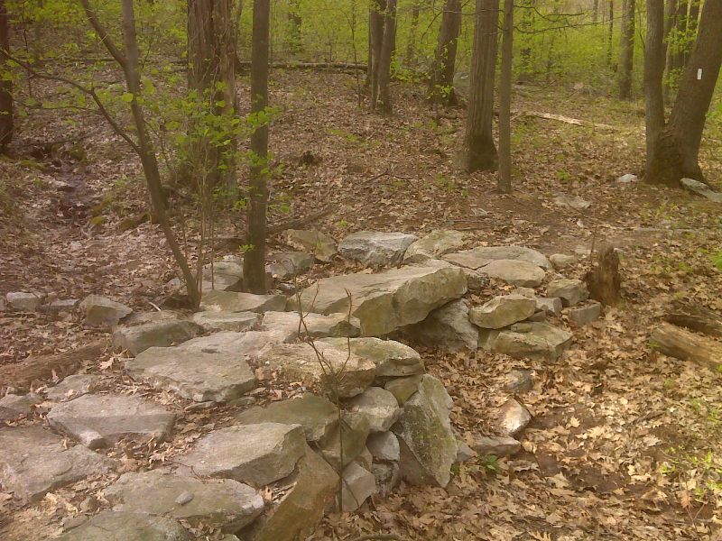
mm 16.4 Heavy stone footbridge construction.across intermittent stream. GPS N40.4470 W76.7625
Submitted by pjwetzel @ gmail.com
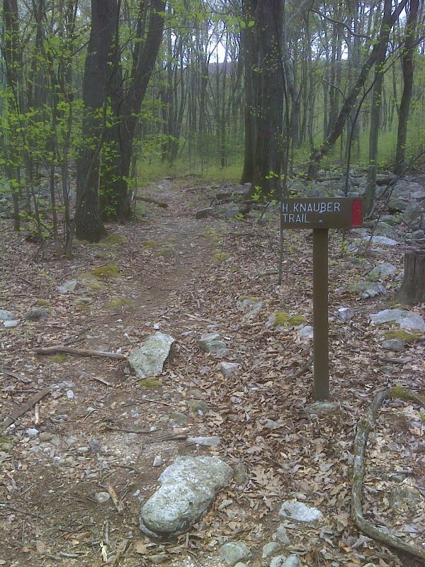
mm 16.9 Junction with red-blazed Henry Knauber Trail. GPS N40.4480 W76.7713
Submitted by pjwetzel @ gmail.com
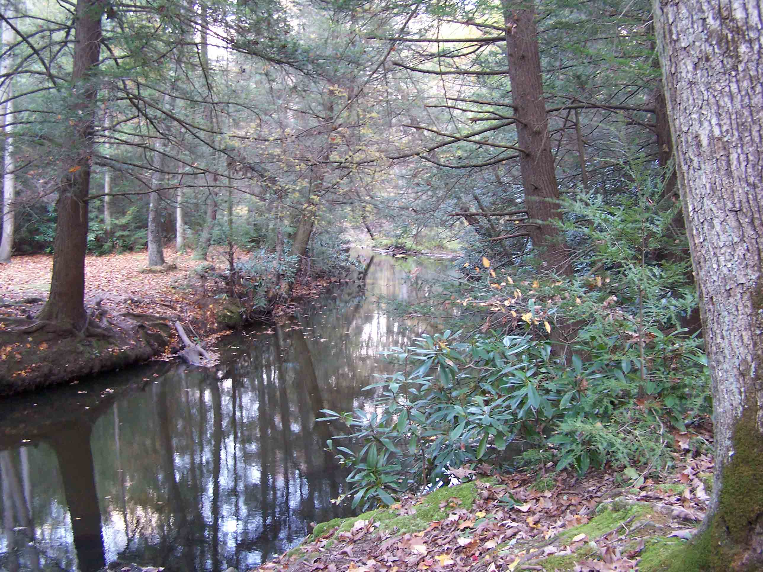
mm 17.4 - Clarks Creek
Submitted by at @ rohland.org
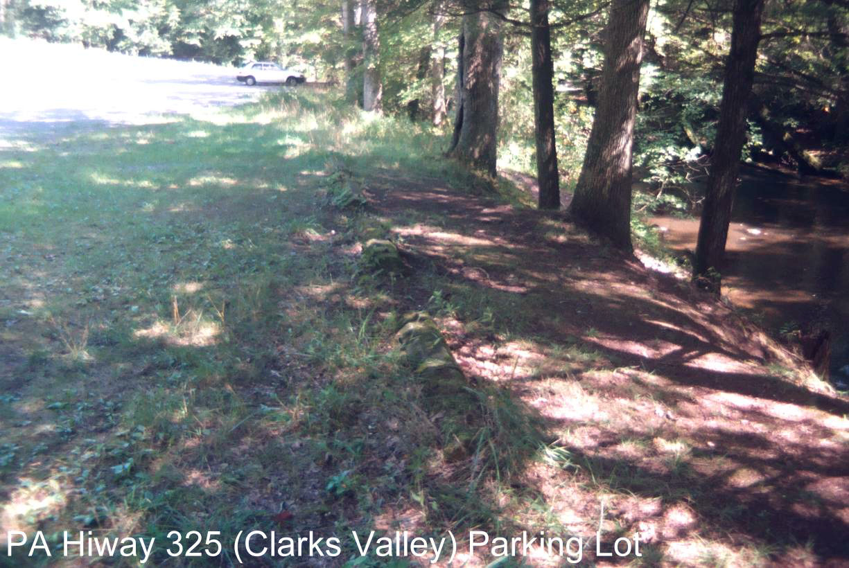
mm 17.4 - Parking lot at Clark's Valley
Submitted by MalteseCross @ Comcast.Net
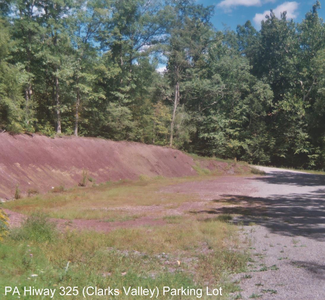
mm 17.4 - Parking lot at Clark's Valley
Submitted by Malta @ Enter.Net

mm 17.4 Camp Site at PA 325 Parking Lot
Submitted by courtneygwilson @ yahoo.com