PA Section 7 Pictures - Milemarker 1.6 - 5.6
Creek Crossing - Rausch Creek
Move your mouse across the pictures for more information.
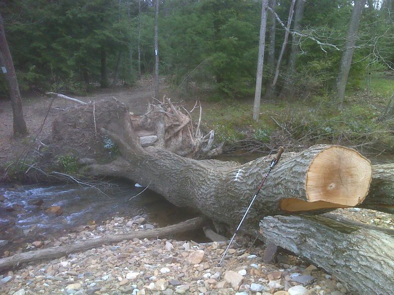
Ad hoc footbridge recently adapted by maintainers. This is over the same stream seen in the previous pictures. Taken in April 2012. GPS N40.4831 W76.5502
Submitted by pjwetzel @ gmail.com
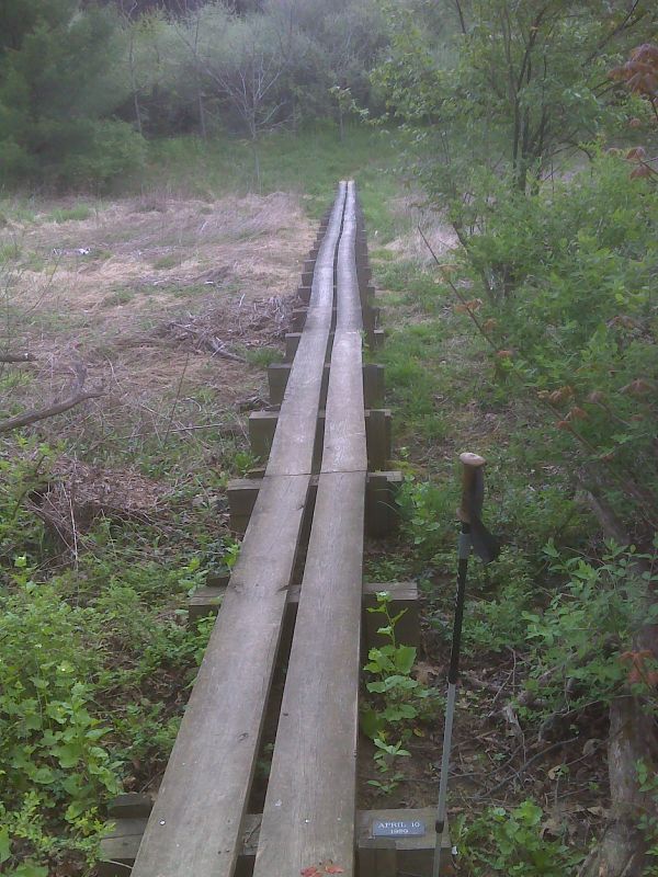
Wetland crossing dated 1989. GPS N40.4841 W76.5498
Submitted by pjwetzel @ gmail.com
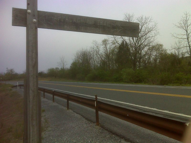
mm 2.0 Trail crossing of busy PA 433. GPS N40.4900 W76.5509
Submitted by pjwetzel @ gmail.com
mm 2.0 Parking near trail crossing of Greenpoint Schoolhouse Road
Submitted by dlcul @ conncoll.edu
mm 2.0 Day Lilies near trail crossing of Greenpoint Schoolhouse Road
Submitted by dlcul @ conncoll.edu
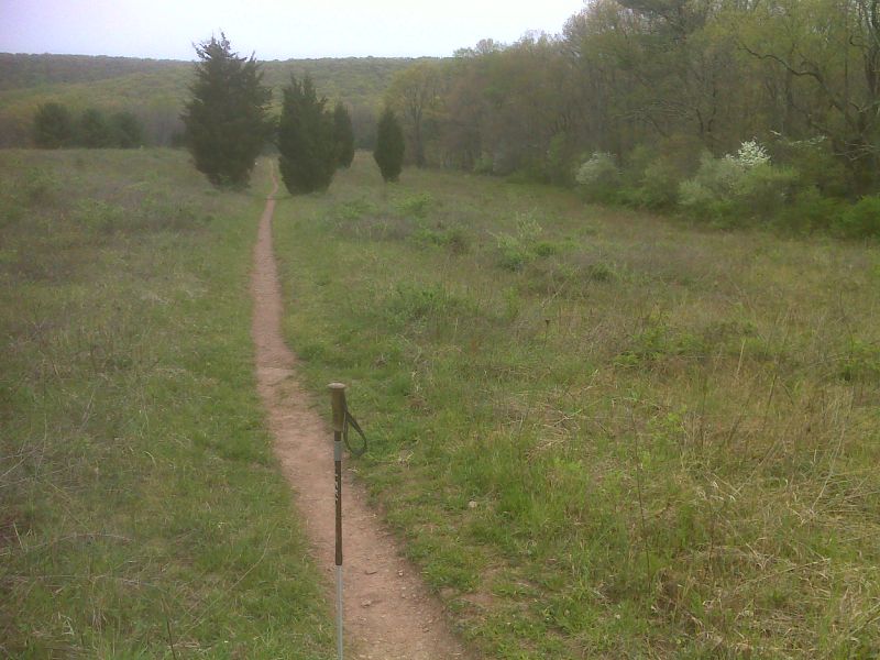
Meadow Walk north of PA 433. GPS N40.4912 W76.5522
Submitted by pjwetzel @ gmail.com
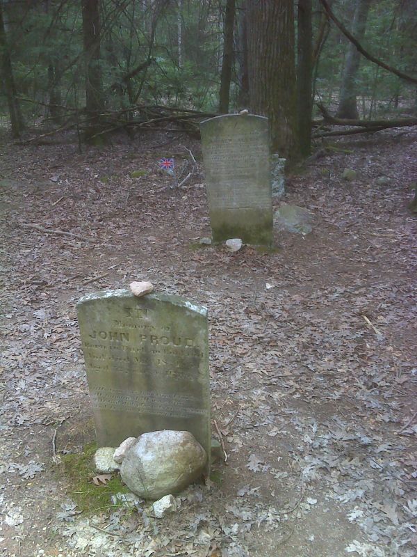
Cemetery near ghost town of Rausch Gap. N40.4965 W76.5910
Submitted by pjwetzel @ gmail.com
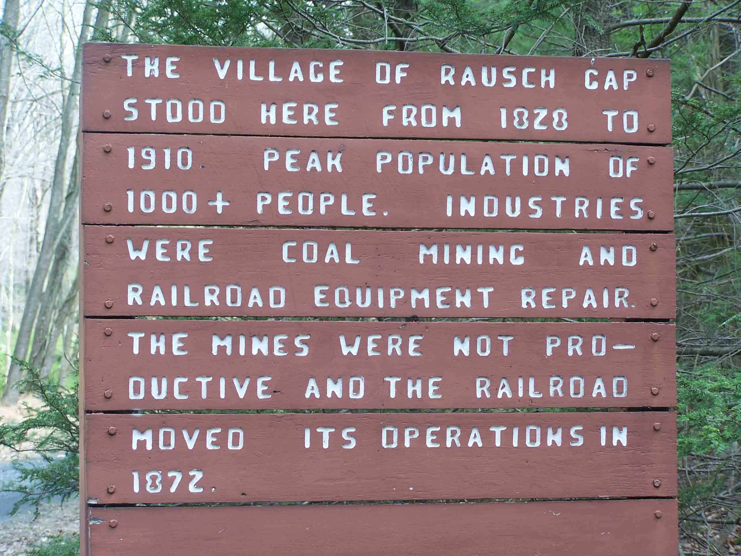
mm 5.6 - Rausch Creek
Submitted by at @ rohland.org