PA Section 7 Pictures - Milemarker 5.6
Rausch Creek
Move your mouse across the pictures for more information.
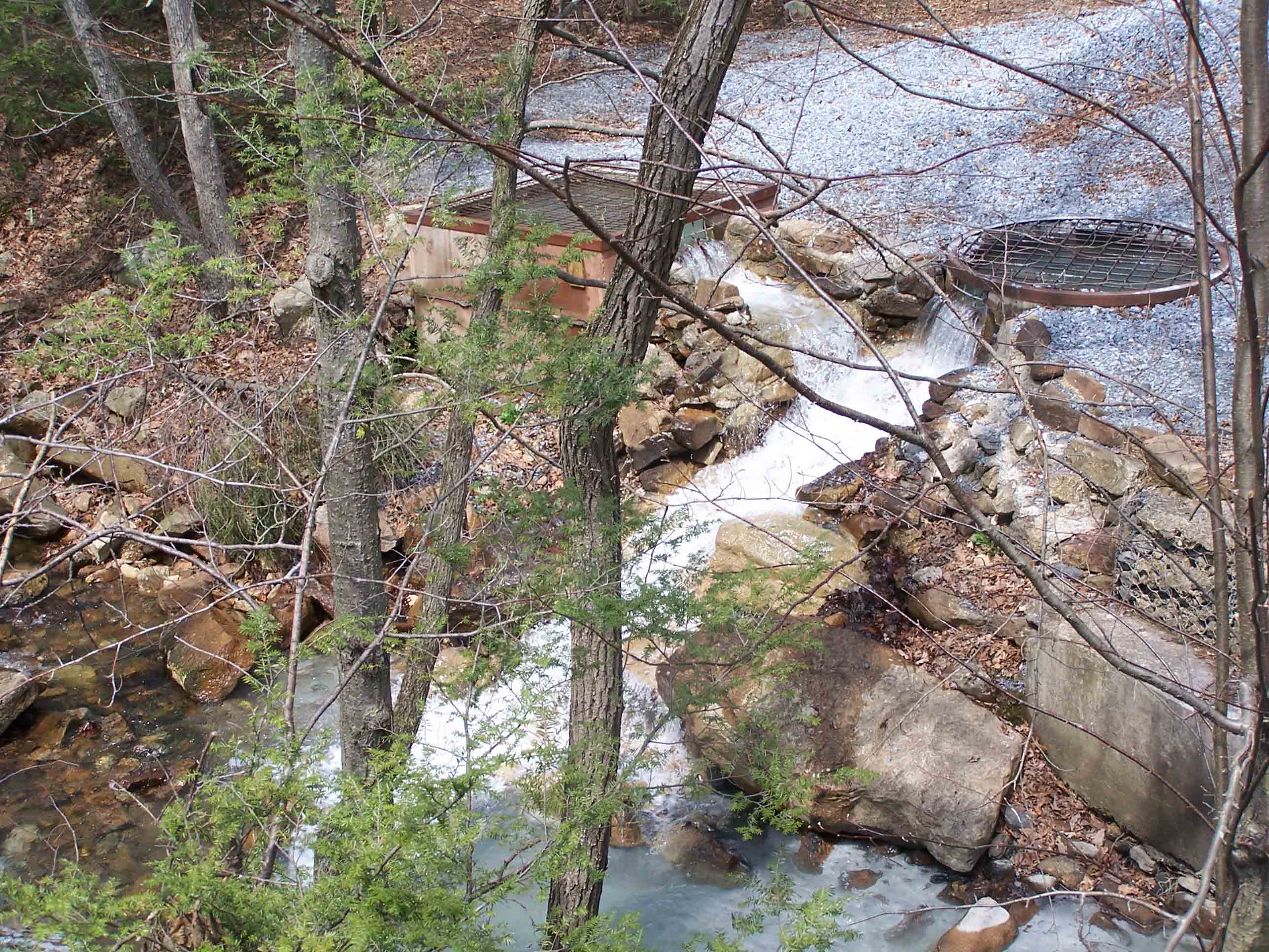
mm 5.6 - Rausch Creek
Submitted by at @ rohland.org
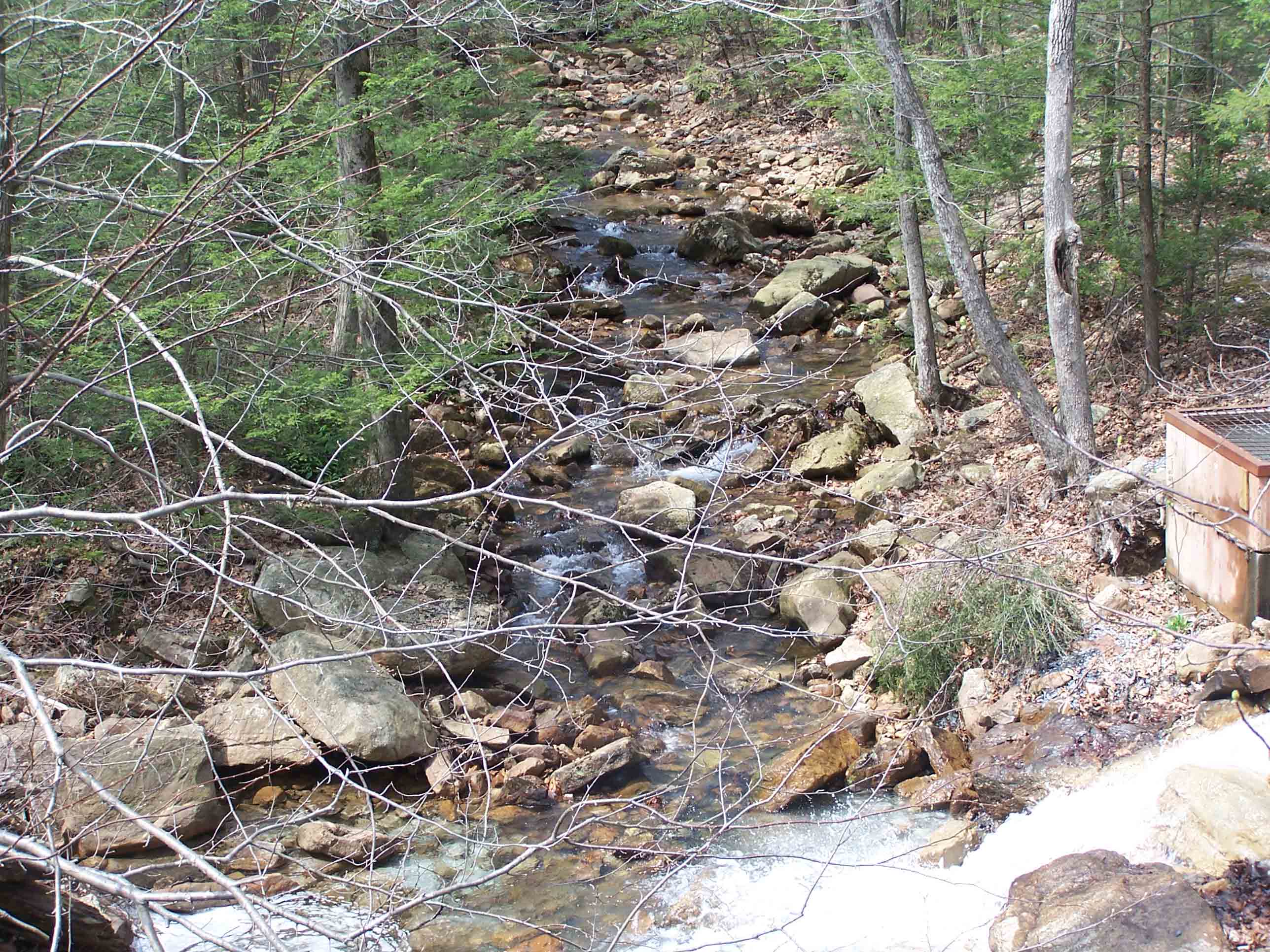
mm 5.6 - Rausch Creek
Submitted by at @ rohland.org
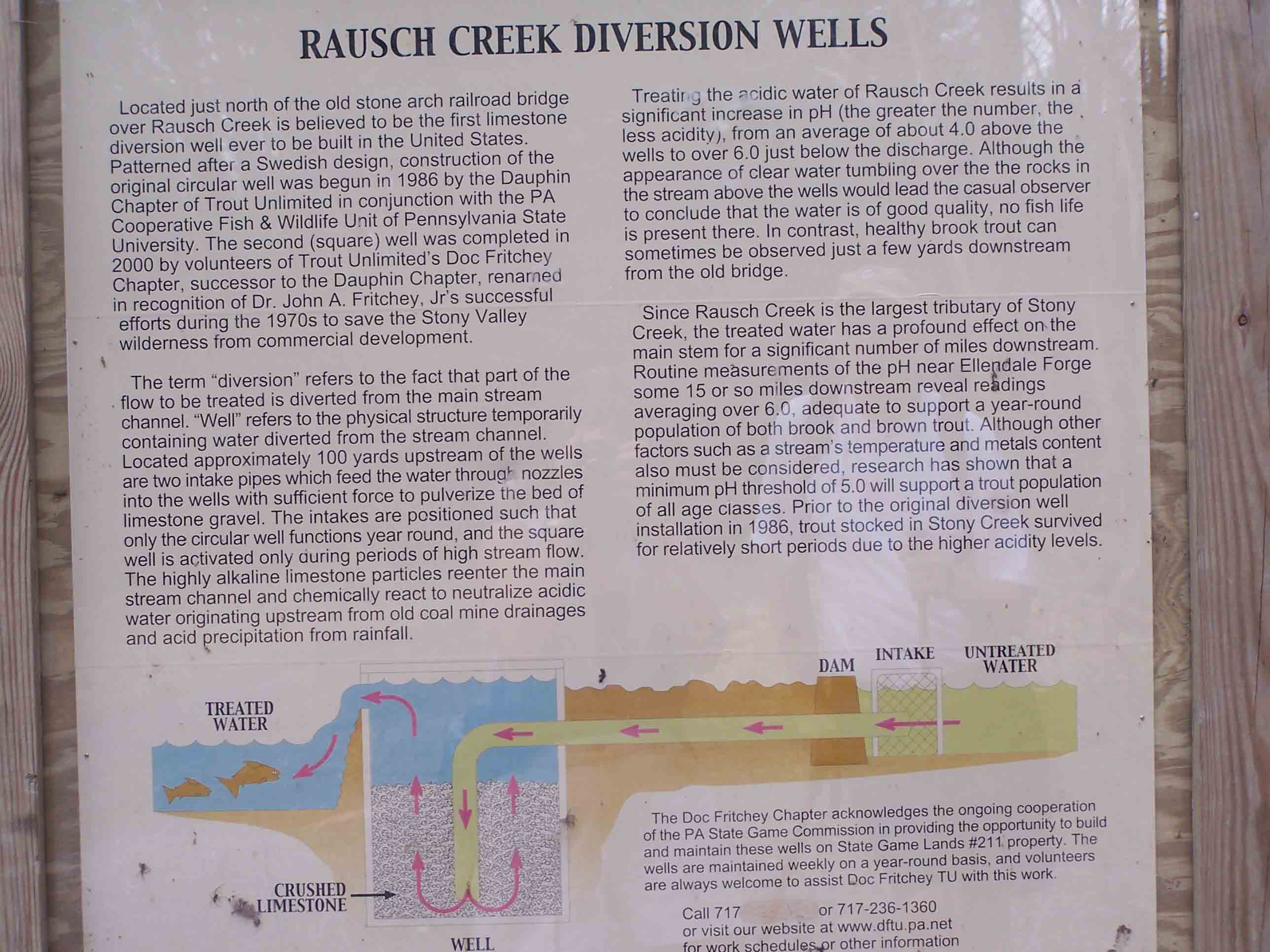
mm 5.6 - Rausch Creek
Submitted by at @ rohland.org
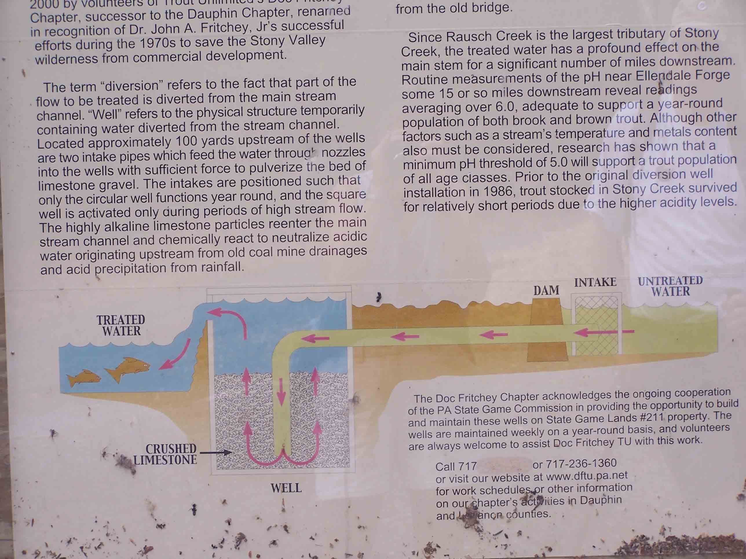
mm 5.6 - Rausch Creek
Submitted by at @ rohland.org
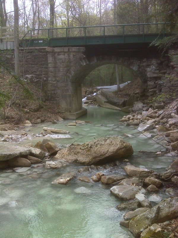
mm 5.6 Stone arch RR bridge and lime sediment from treatment, Rausch Creek. N40.4972 W 76.5982
Submitted by pjwetzel @ gmail.com
mm 5.6 The old Stony Creek Railroad bed is now a Gamelands Service Road. The first 0.2 miles of it west of Gold Mine Road are open to automobile traffic. There is ample room for parking here. There is a gate just behind the point where the picture was taken. From there one may follow the servicer road, meeting the AT near Rausch Creek in about 3.5 miles.
Submitted by dlcul @ conncoll.edu
mm 5.6 Parking for the Gamelands Service Road on the east side of Gold Mine road.
Submitted by dlcul @ conncoll.edu
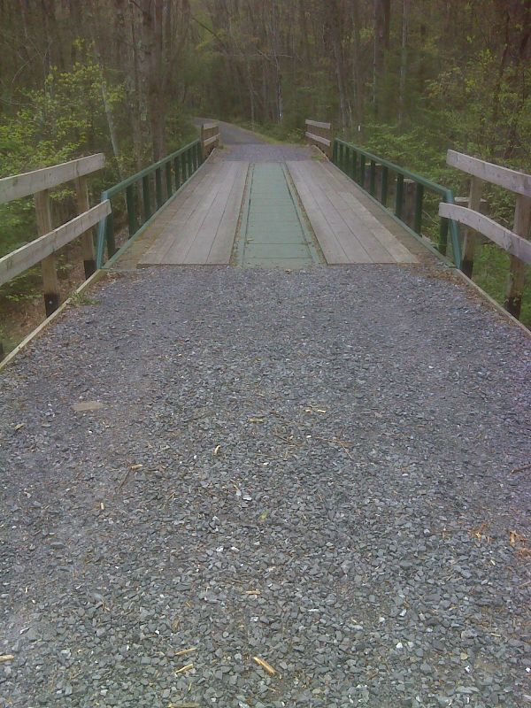
mm 5.6 The AT, here following a railroad grade, crosses the stone bridge. GPS N40.4977 W76.5951
Submitted by pjwetzel @ gmail.com