PA Section 8 Pictures - Milemarker 6.0 - 6.7
Summit of Knob - Peters Mt. Shelter
Move your mouse across the pictures for more information.
Between Peters Mt. Shelter and the Victoria Trail the AT goes up and over a knob. This picture was taken near the summit. Taken at approx. mm 6.0
Submitted by dlcul @ conncoll.edu
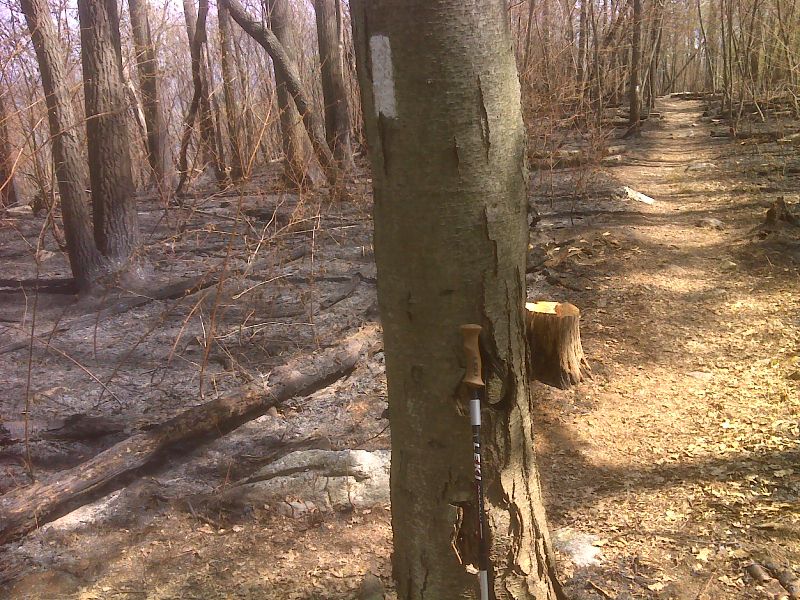
One week old burn area half mile north of Peters Mtn Shelter. Taken April 2012 GPS N40.4286 W76.8692
Submitted by pjwetzel @ gmail.com
Interesting rock formation at approx. mm 6.3
Submitted by dlcul @ conncoll.edu
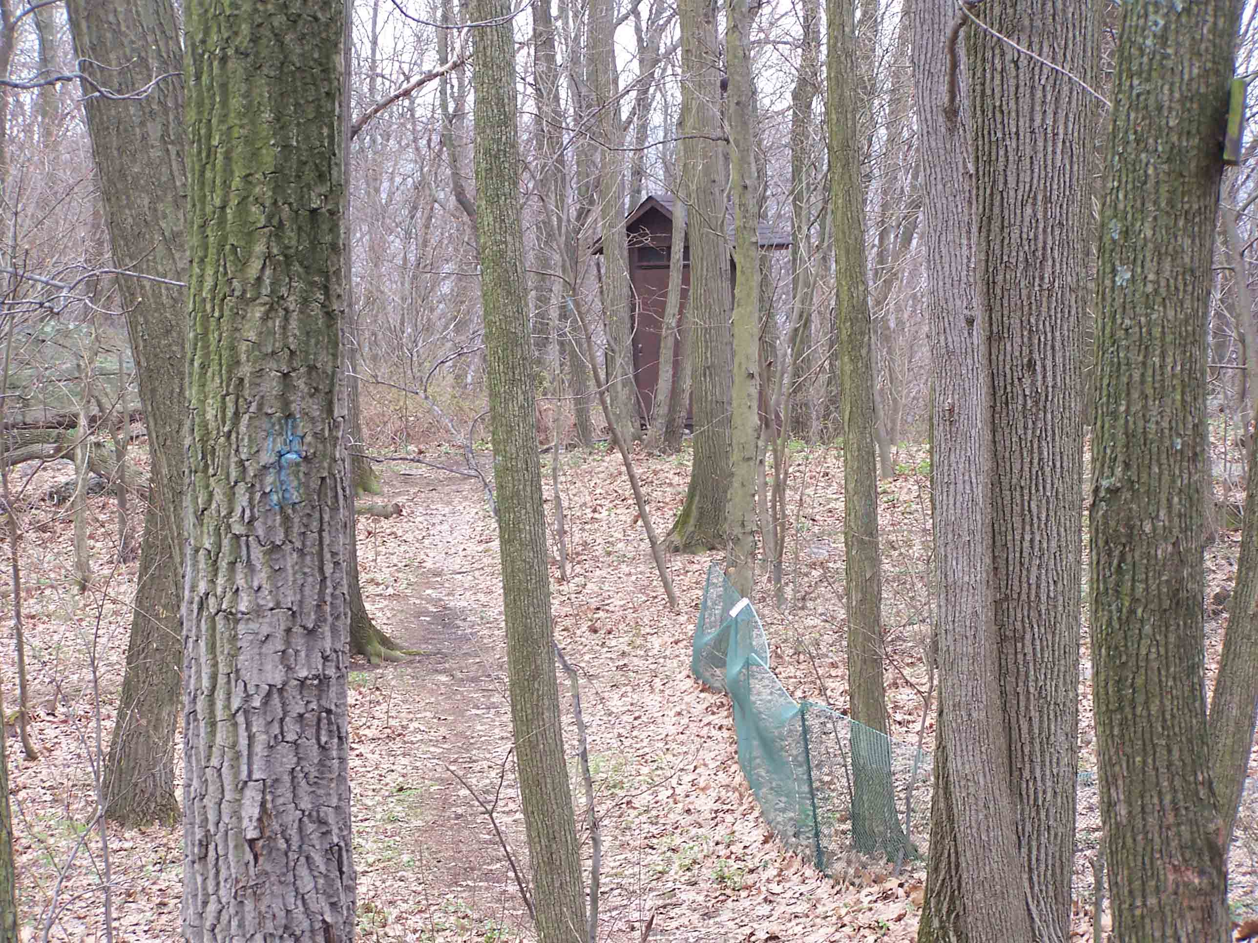
mm 6.7: Peters Mountain Shelter
Submitted by at @ rohland.org
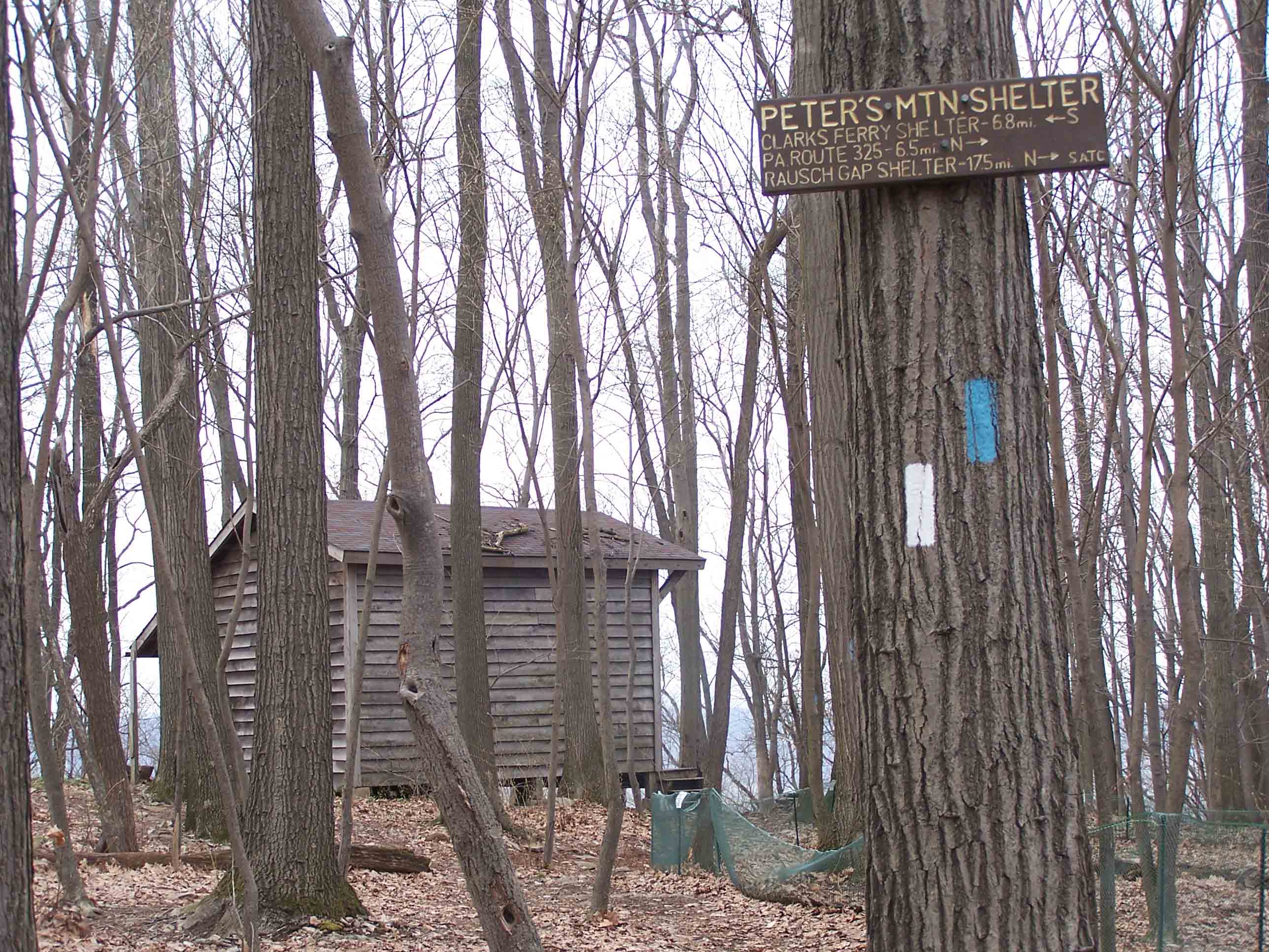
mm 6.7: Peters Mountain Shelter
Submitted by at @ rohland.org
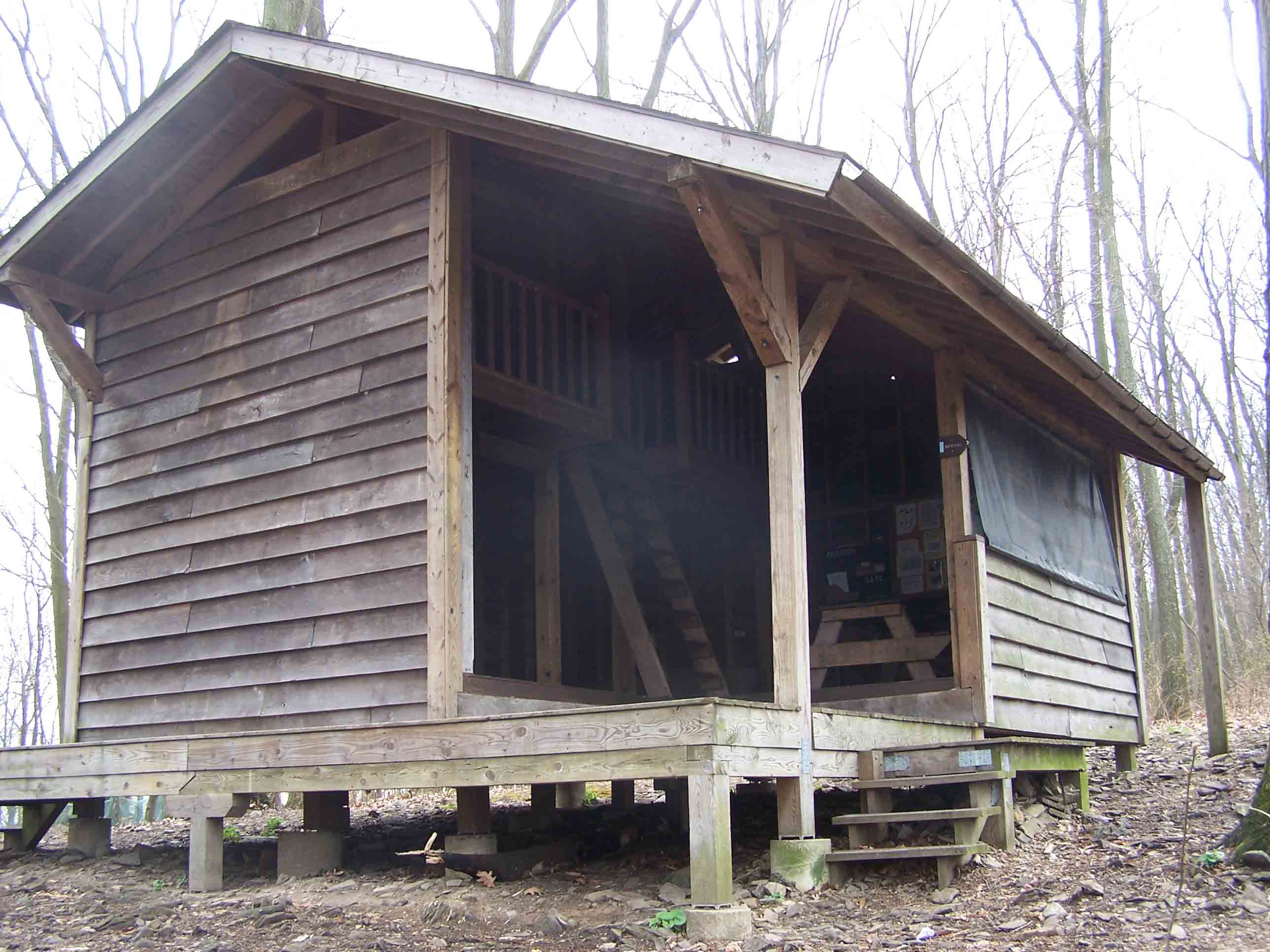
mm 6.7: Peters Mountain Shelter
Submitted by at @ rohland.org
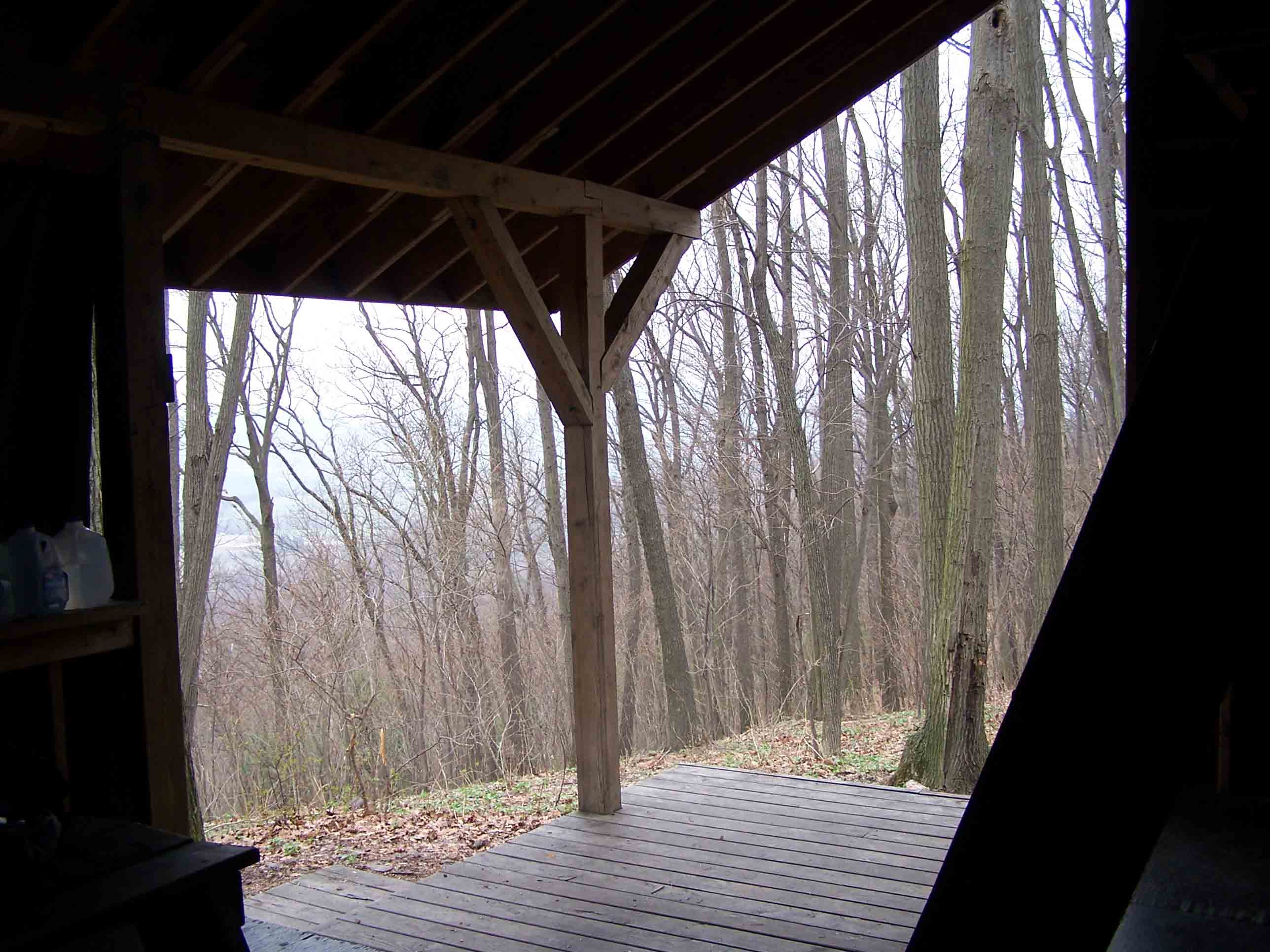
mm 6.7: Peters Mountain Shelter
Submitted by at @ rohland.org
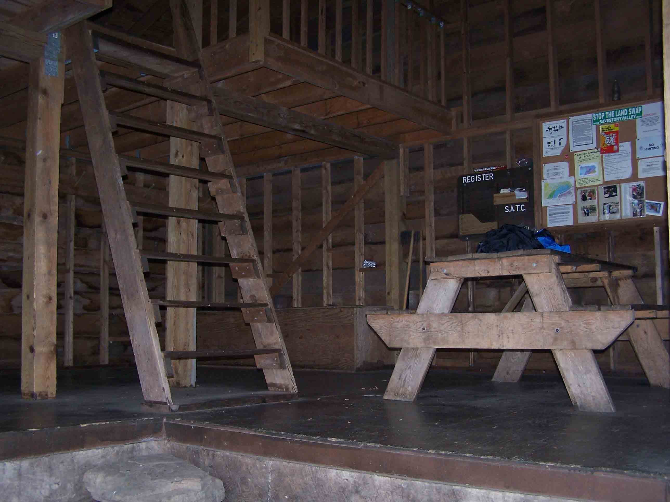
mm 6.7: Peters Mountain Shelter
Submitted by at @ rohland.org