PA Section 9 Pictures - Milemarker 0.0 - 1.7
West End Clarks Ferry Bridge - Doyle Hotel
Move your mouse across the pictures for more information.

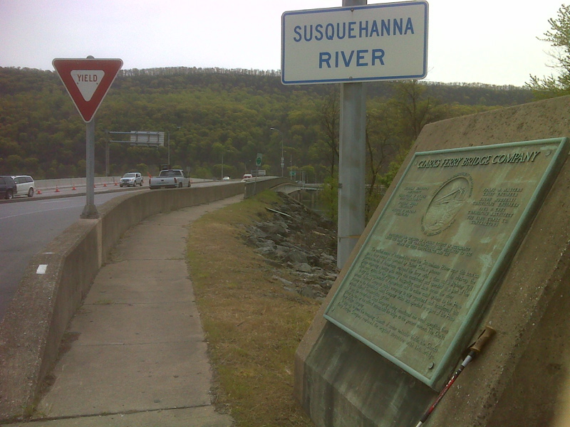
mm 0.0 West (Compass north) end of the Clarks Ferry Bridge. The northbound AT crosses the bridge to the east side of the Susquehanna River. GPS N40.4022 W77.0108
Submitted by pjwetzel @ gmail.com
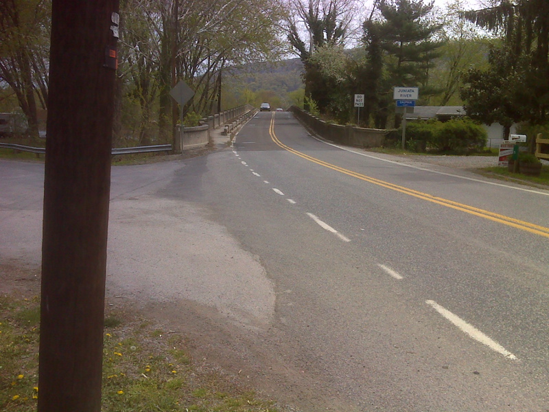
mm 0.1 View from the bridge over the Juniata River just north of Duncannon. This view is looking west over the river. In a short distance to the east the Juniata flows into the Susquehanna.
Submitted by dlcul @ conncoll.edu

mm 0.2 The northbound trail approaches the Juniata River Bridge. GPS N40.4029 W 77.0159
Submitted by pjwetzel @ gmail.com

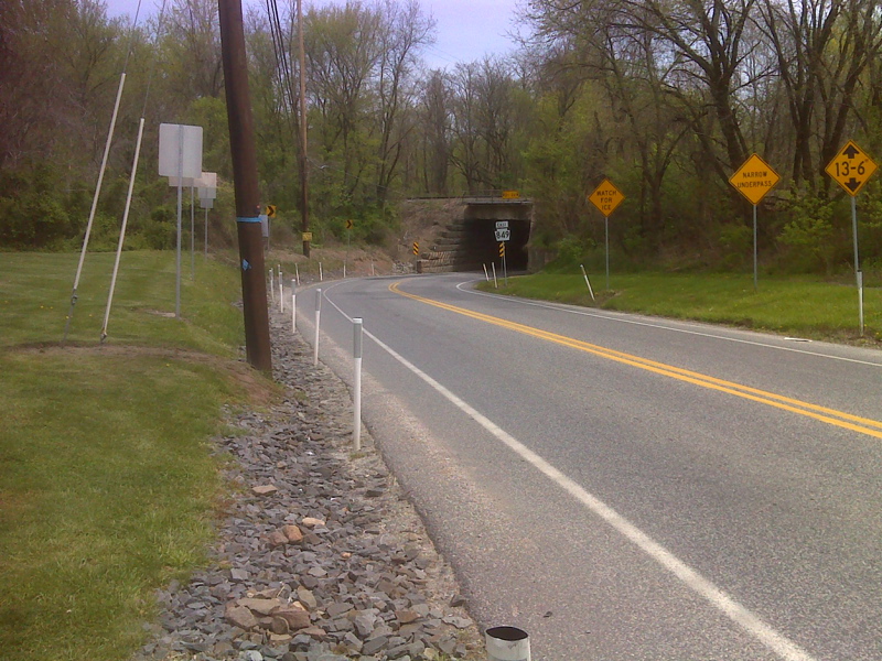
mm 0.3 Looking northbound on the AT at the north end of Duncannon. The trail route follows the road under the railroad overpass. GPS N40.4025 W77.0175
Submitted by pjwetzel @ gmail.com
Sign at small park at intersection of PA 849 and N. Market Street at the north end of Duncannon. Taken at approx. mm 0.3
Submitted by dlcul @ conncoll.edu
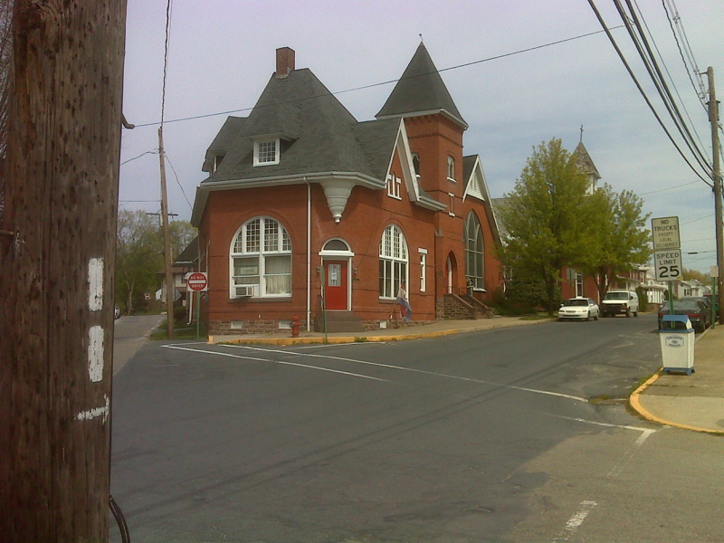
Most of the trail route through Duncannon follows High Street. Taken at approx. mm 1.0
Submitted by dlcul @ conncoll.edu

mm 1.7 The northbound trail turns onto High Street. GPS N40.3902 W77.0317
Submitted by pjwetzel @ gmail.com
mm 1.7 The legendary Doyle Hotel on Market Street. A Grand Old Lady which is a must-stay for thru-hikers or a rundown fleabag hotel? You be the judge.
Submitted by dlcul @ conncoll.edu