PA Section 9 Pictures - Milemarker 1.7 - 3.1
Duncannon Parking - Stone Steps
Move your mouse across the pictures for more information.
View of parking lot and baseball diamond (Wheeler Field) in Duncannon, looking north towards Hawk Rock.
Submitted by MalteseCross @ comcast.net
View of parking lot in Duncannon, looking south from Wheeler Field. Space available for several cars. Former railroad station is at upper right.
Submitted by MalteseCross @ comcast.net
mm 2.1 Shermans Creek at south end of Duncannon
Submitted by dlcul @ conncoll.edu
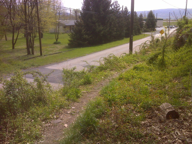
mm 2.3 The northbound trail approaches a Inn Road on the south end of Duncanon. From here the northbound trail follows roads through town and across the Susquehanna River. Note: Since this picture was taken a new parking area has been built on the other side of the road. GPS N40.39.3815 W77.0297
Submitted by pjwetzel @ gmail.com
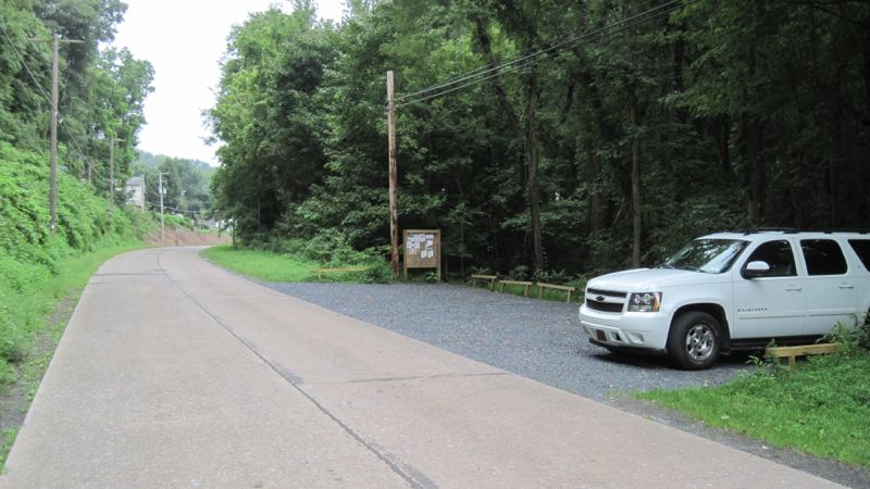
Looking north along Inn Road. The northbound AT follows this road towards downtown Duncannon. The hiker parking lot is on the right.
Submitted by mike @ atshuttler.com
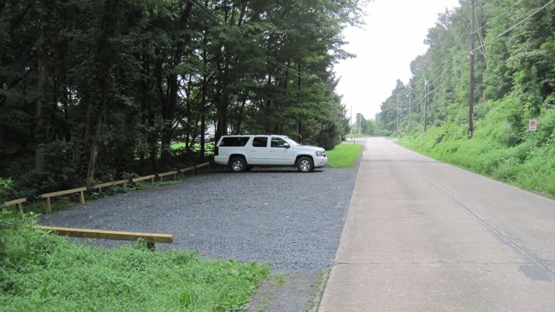
Looking south along Inn Road on the outskirts of Duncannon. The hiker parking lot is on the left.
Submitted by mike @ atshuttler.com
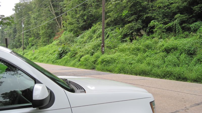
The new AT hiker parking area in Duncannon is across from the point where the southbound trail leaves Inn Road and begins the climb towards Hawk Rock and Cove Mountain. Note the double white blaze.
Submitted by mike @ atshuttler.com
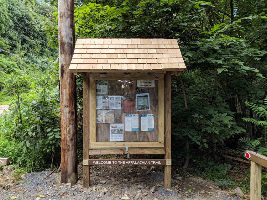
New parking lot kiosk at Mile 2.3 in Duncannon
Submitted by jmw0149 @ hotmail.com
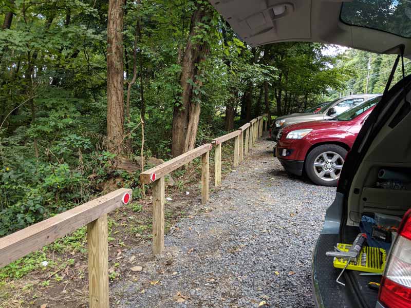
new parking lot
Submitted by jmw0149 @ hotmail.com
mm 2.3 Parking lot just south of the point where the southbound trail reenters the woods and starts to climb to Hawk Rock. Use of this area is now discouraged. Its usefulness is now limited because of the new hiker parking area.
Submitted by dlcul @ conncoll.edu
Partial view of Peters Mountain across the Susquehanna River. Taken at approx. mm 2.4. The northbound trail climbs this mountain and traverses its ridge.
Submitted by dlcul @ conncoll.edu
mm 3.1 The trail crosses a rockslide.
Submitted by dlcul @ conncoll.edu
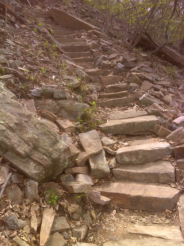
mm 3.1 New stone steps on AT as the southbound trail climbs steeply from Duncannon to Hawk Rock. GPS N40.39.3776 W77.0398
Submitted by pjwetzel @ gmail.com