PA Section 9 Pictures - Milemarker 10.4 - 10.8
Field South of PA 850 - Old Farm
Move your mouse across the pictures for more information.
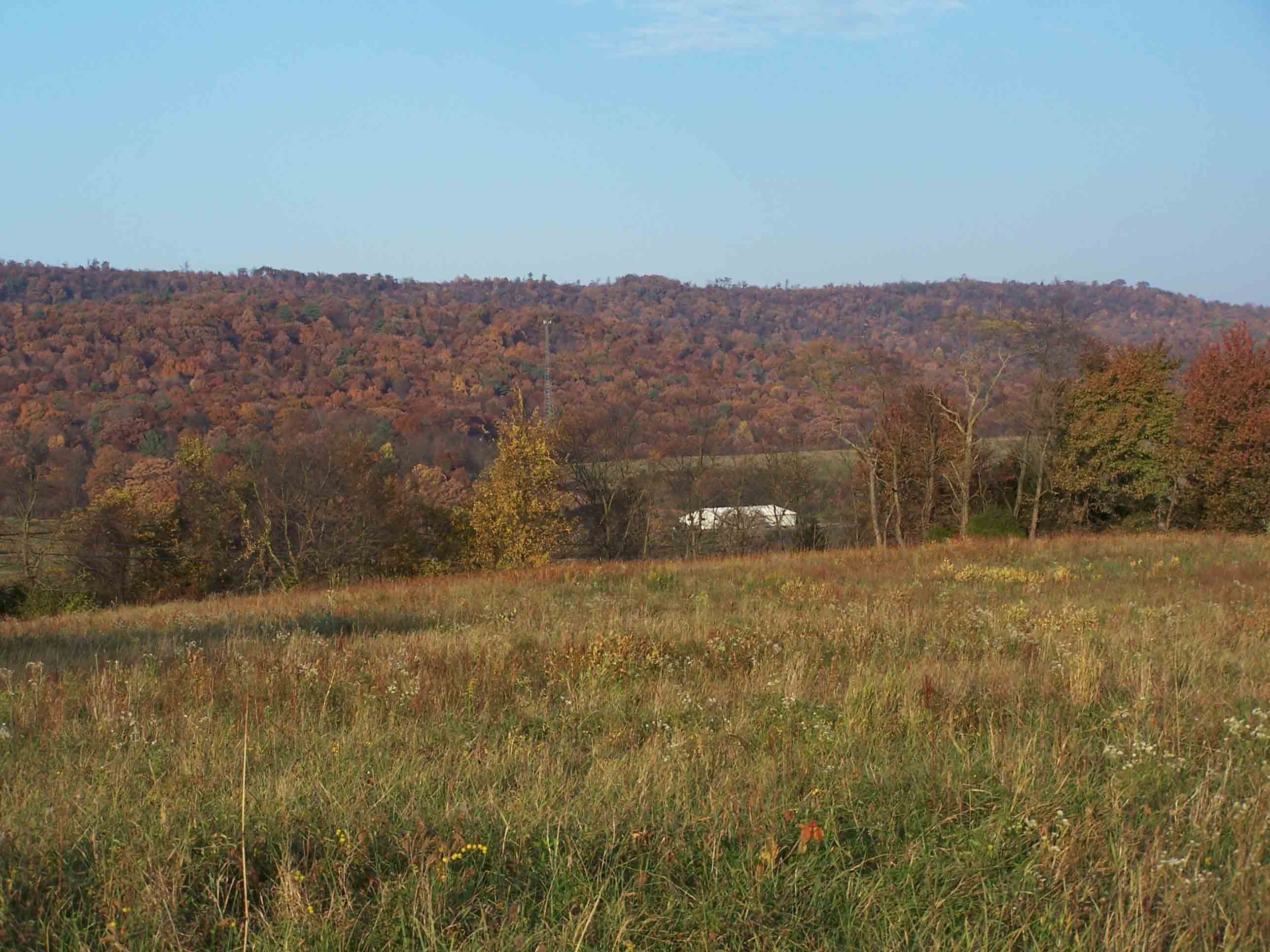
Trail through farm field near Rt 850. Taken at approx. mm 10.4
Submitted by at @ rohland.org
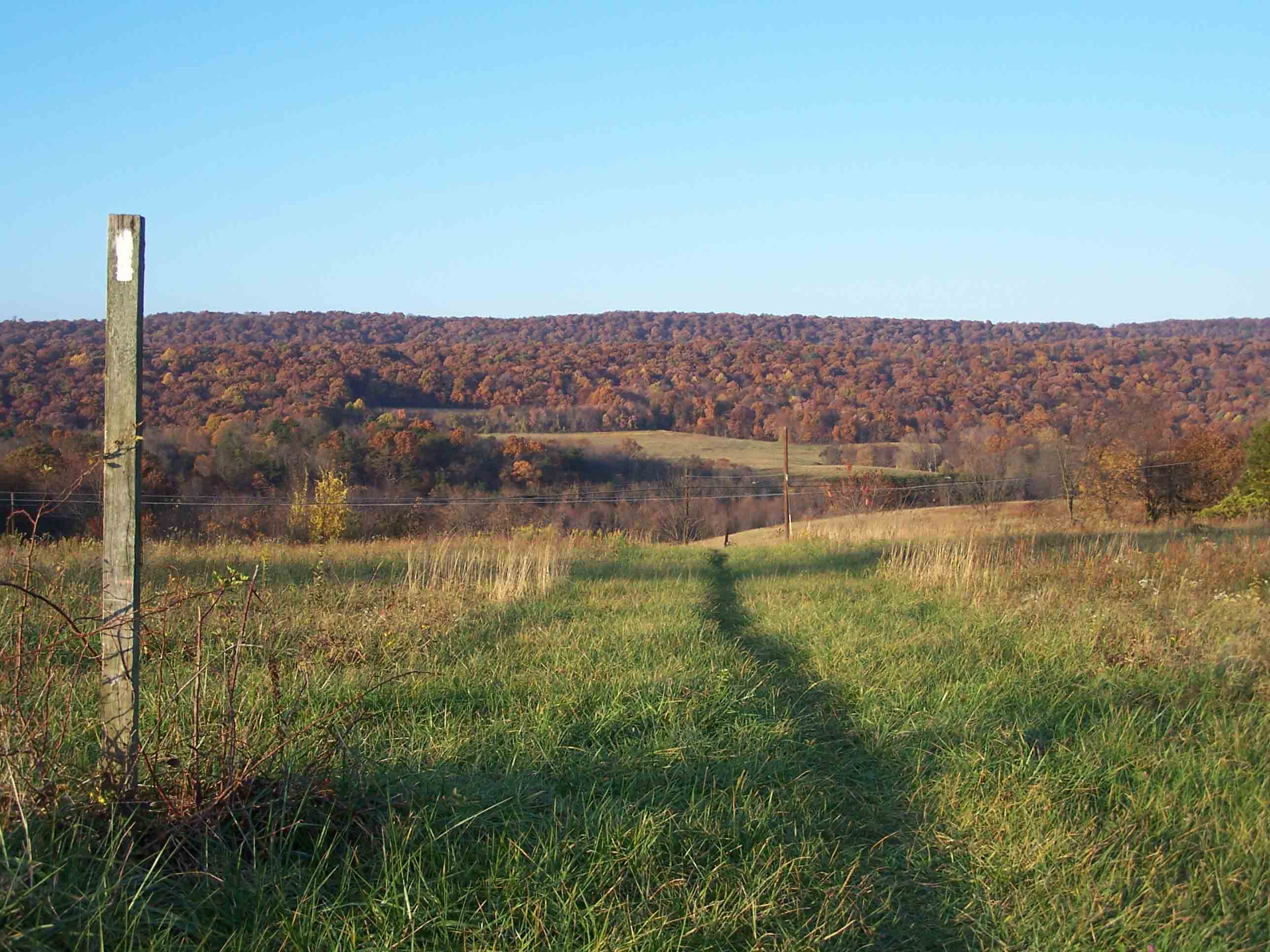
Trail through farm field near Rt 850. Taken at approx. mm 10.4
Submitted by at @ rohland.org
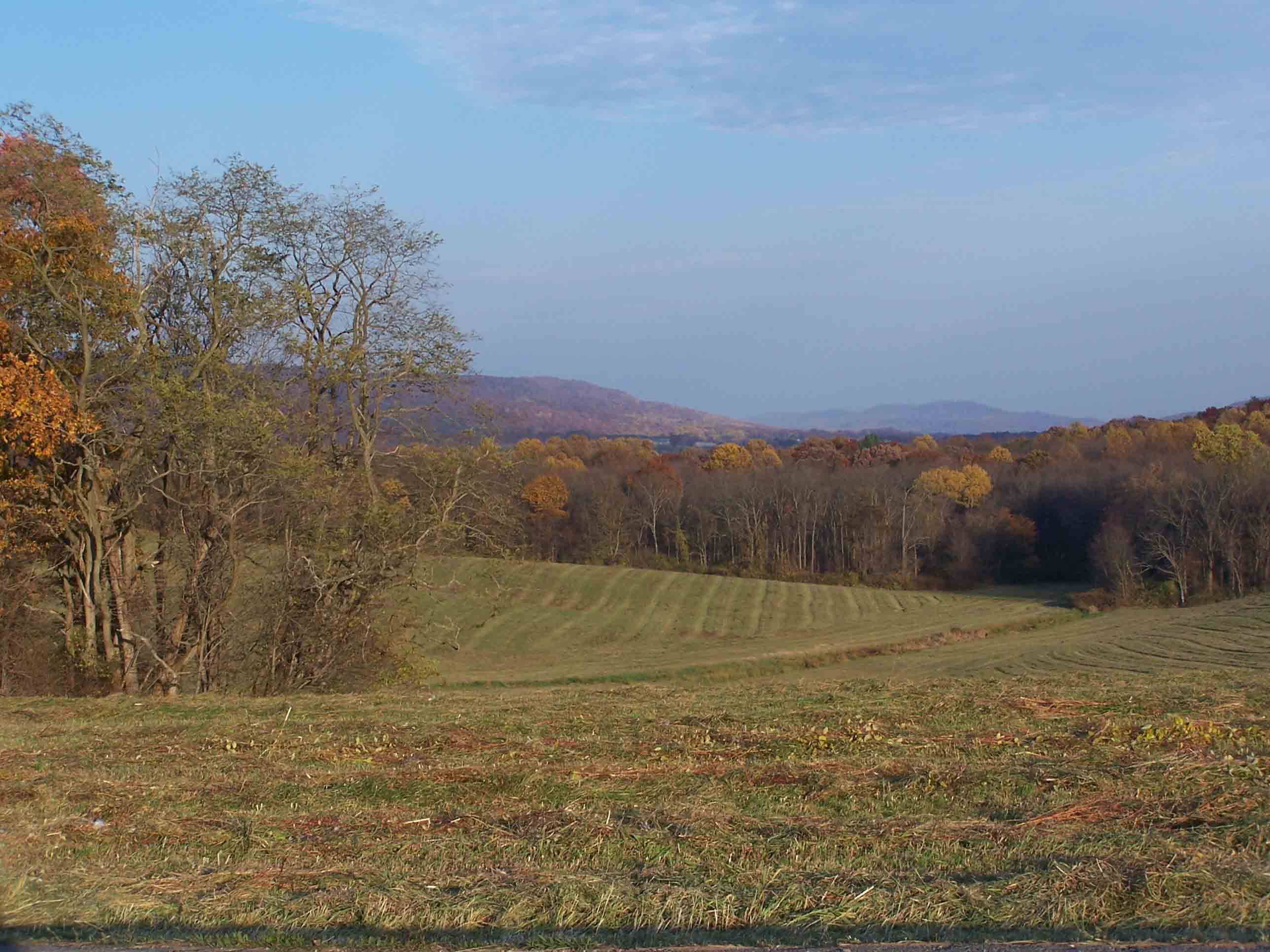
Trail through farm field near Rt 850. Taken at approx. mm 10.7
Submitted by at @ rohland.org
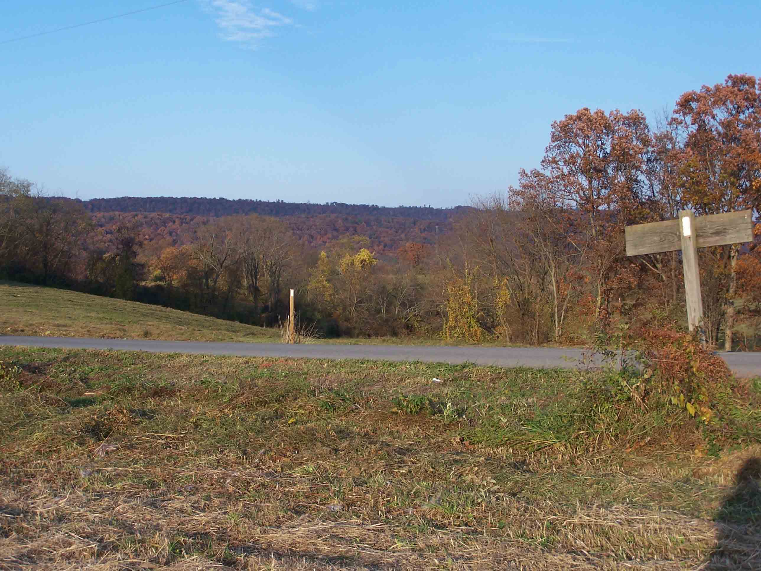
Trail through farm field near Rt 850. Taken at approx. mm 10.7
Submitted by at @ rohland.org
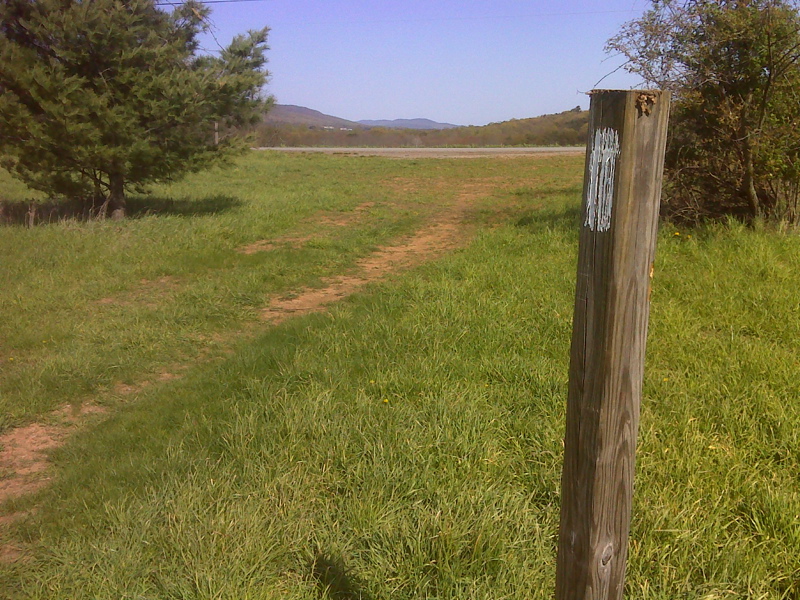
mm 10.7 Crossing of Miller Gap Road. Parking may be possible on grassy shoulders. GPS N40.3189 W77.0815
Submitted by pjwetzel @ gmail.com
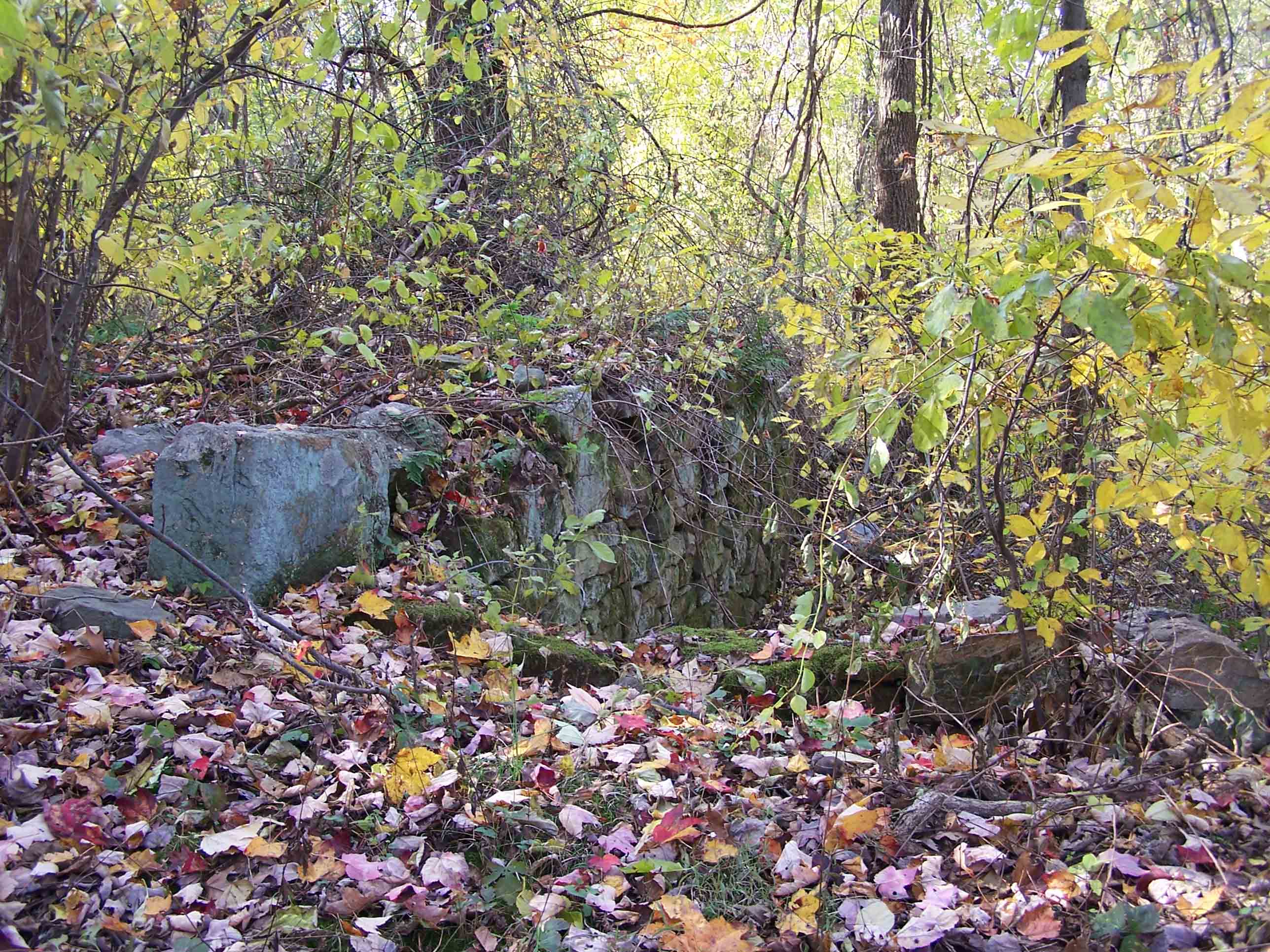
mm 10.8 Remnants of an old farmstead
Submitted by at @ rohland.org
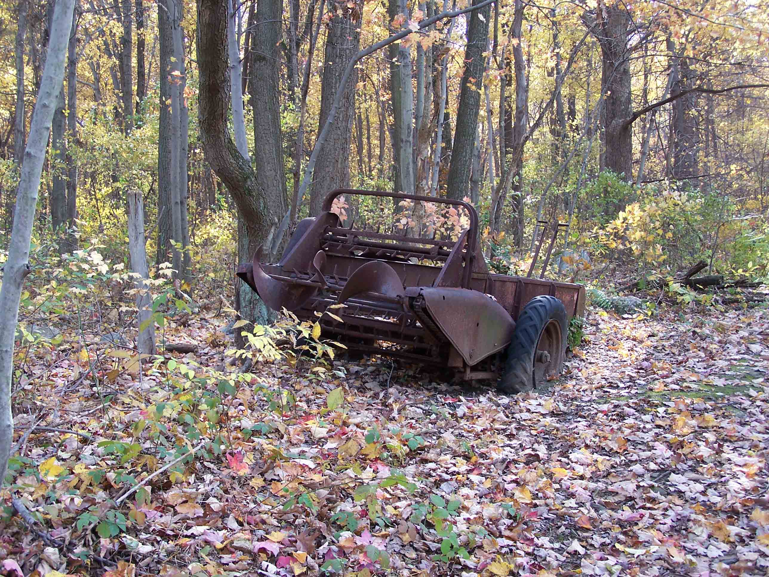
mm 10.8 Remnants of an old farmstead
Submitted by at @ rohland.org
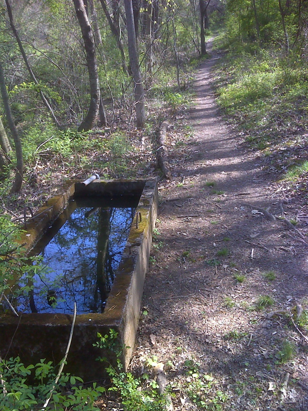
mm 10.8 Water trough along trail at site of old farm. GPS N40.3177 W77.0834
Submitted by pjwetzel @ gmail.com