TN/NC Section 1 Pictures - Milemarker 1.1 - 4.8
Old Road Trail South of Damascus - Backbone Rock Trail
Move your mouse across the pictures for more information.
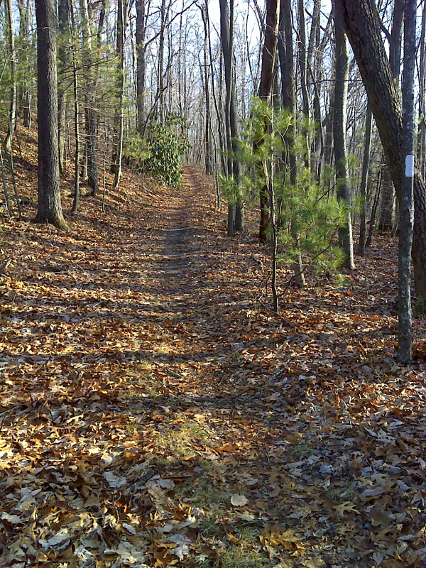
Laurel along the trail south of Damascus. Note that the AT follows an old road here. Northbound the trail soon leaves the road after this point and descends steeply to Damascus. Taken at approx. mm 1.1
Submitted by dlcul @ conncoll.edu
mm 2.1 Blue blazed trail which goes 0.1 miles to spring at site of an old homestead.
Submitted by dlcul @ conncoll.edu
mm 2.1 Nice Campsite near the junction with the blue-blazed trail to the spring. This picture was taken in the Virginia section of TN/NC Section 1.
Submitted by dlcul @ conncoll.edu

The trail south of Damascus is relatively easy. Some thru-hikers who are anxious to reach Damascus (Damascus Fever) refer to this section as the Damascus Freeway. Most of the section north of the VA/TN state line follows the old road seen here. GPS N36.6185 W81.8106
Submitted by pjwetzel @ gmail.com
mm 3.7 Virginia-Tennessee State Line looking north. The trail north mostly follows an old road to Damascus. It passes through a section of the Mount Rogers National Recreation Area. Taken May 2009. There may be new signs now (2012).
Submitted by dlcul @ conncoll.edu

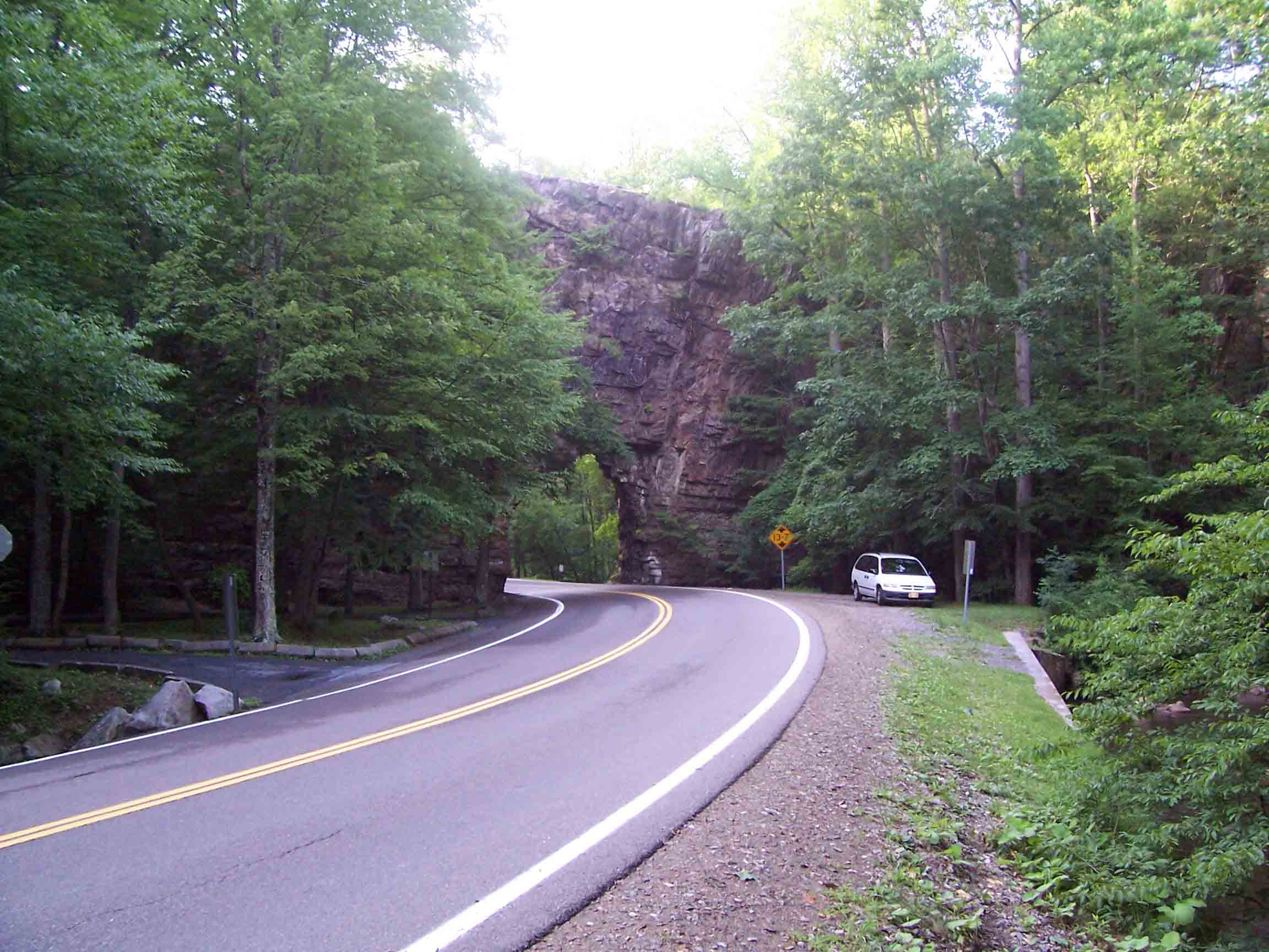
Backbone Rock. From here the Backbone Rock Trail climbs 2.3 miles to meet the AT at MM 4.8.
Submitted by willey54 @ yahoo.com
mm 4.8 Sign at upper terminus of the Backbone Rock Trail. This is where it meets the AT.
Submitted by dlcul @ conncoll.edu
mm 4.8 Junction with the Backbone Rock Trail
Submitted by dlcul @ conncoll.edu