TN/NC Section 10 Pictures - Milemarker 3.0 - 6.3
Temple Ridge - No Business Knob Shelter
Move your mouse across the pictures for more information.
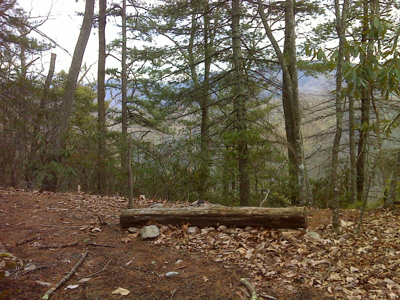
Rest Stop, Temple Ridge near summit. GPS N36.0921 W82.4528
Submitted by pjwetzel @ gmail.com
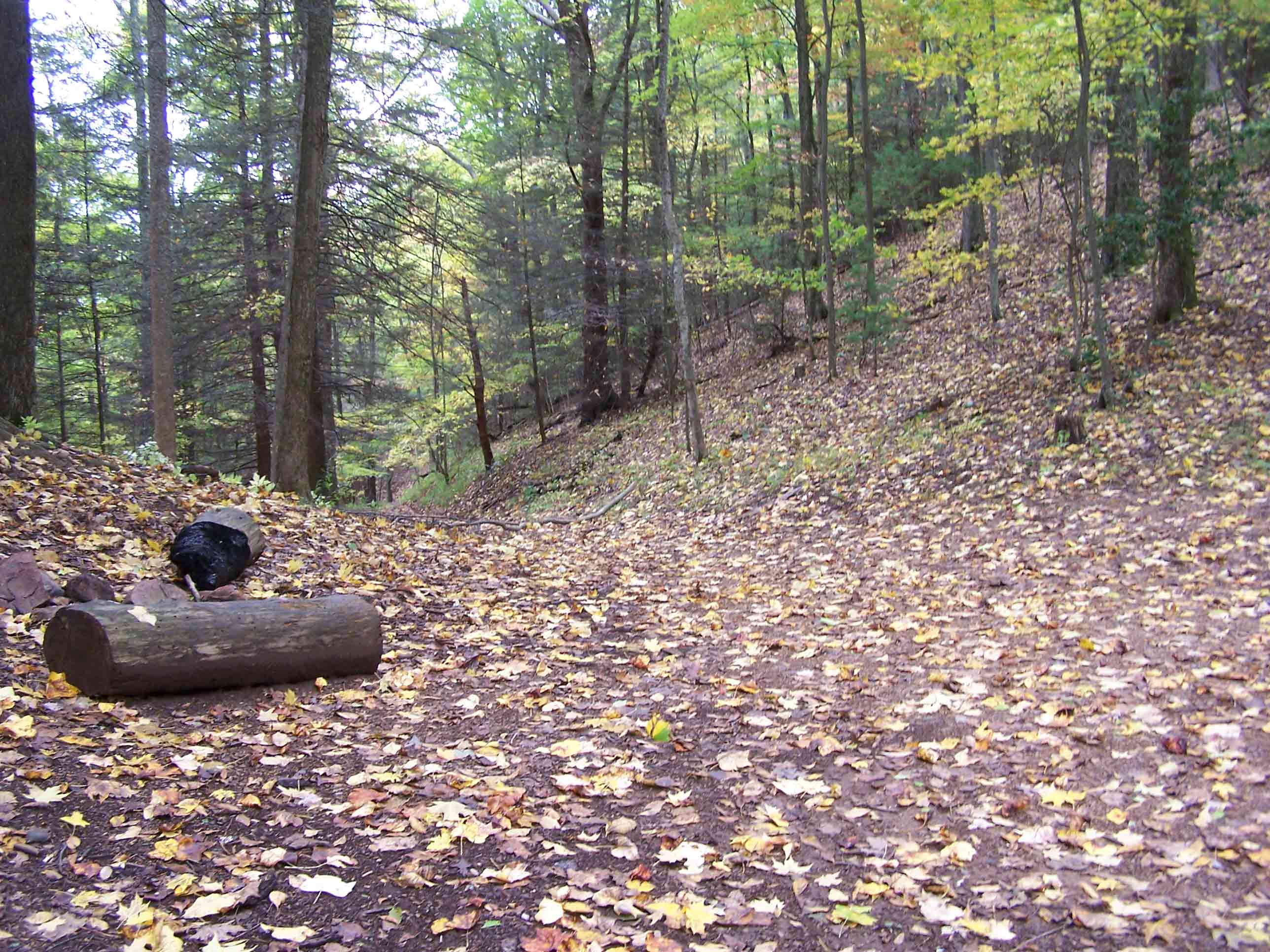
mm 3.2 - Access road of former Temple Hill firetower.
Submitted by at @ rohland.org
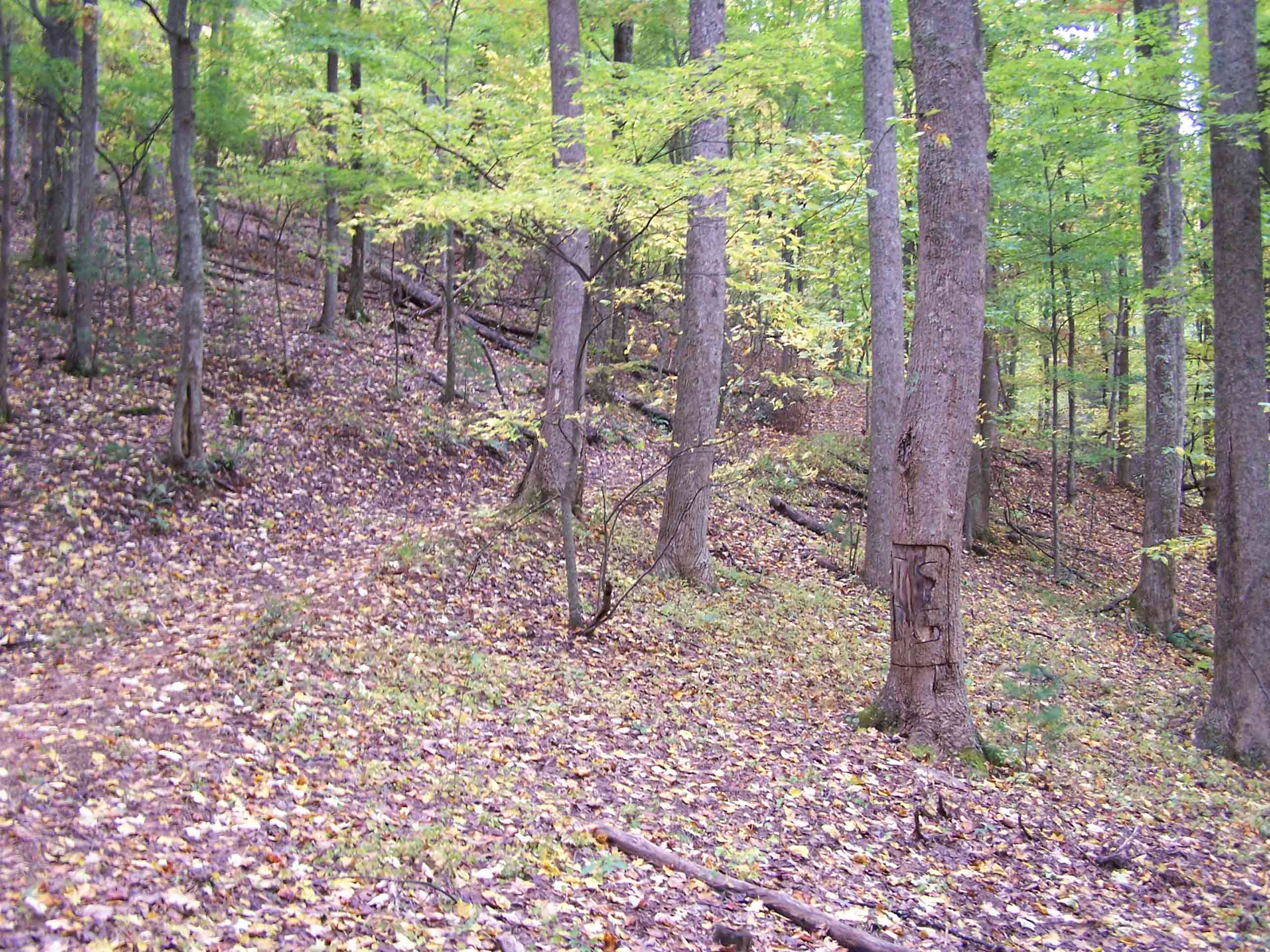
mm 3.2 - trail north
Submitted by at @ rohland.org
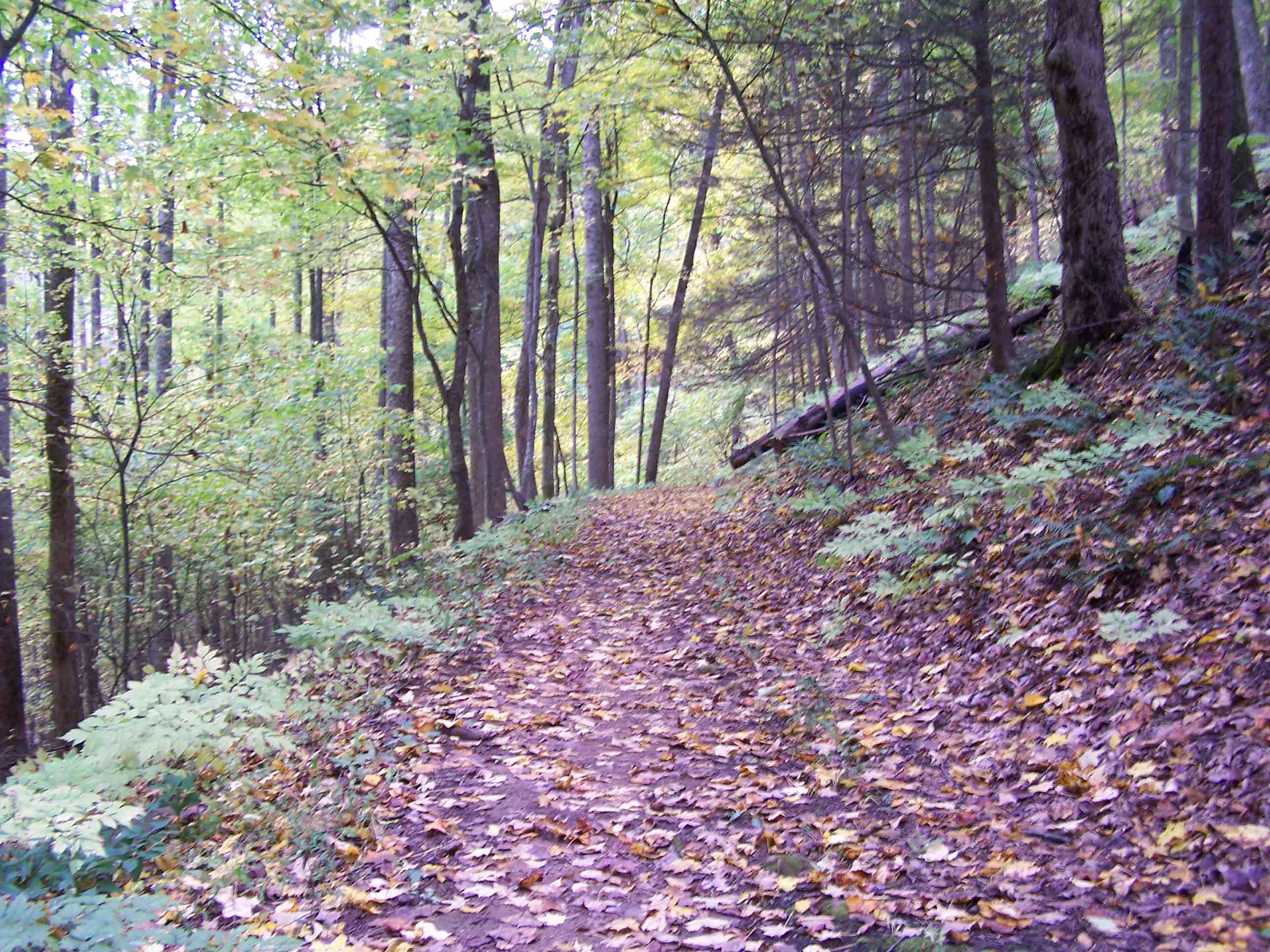
mm 3.2 - trail south
Submitted by at @ rohland.org
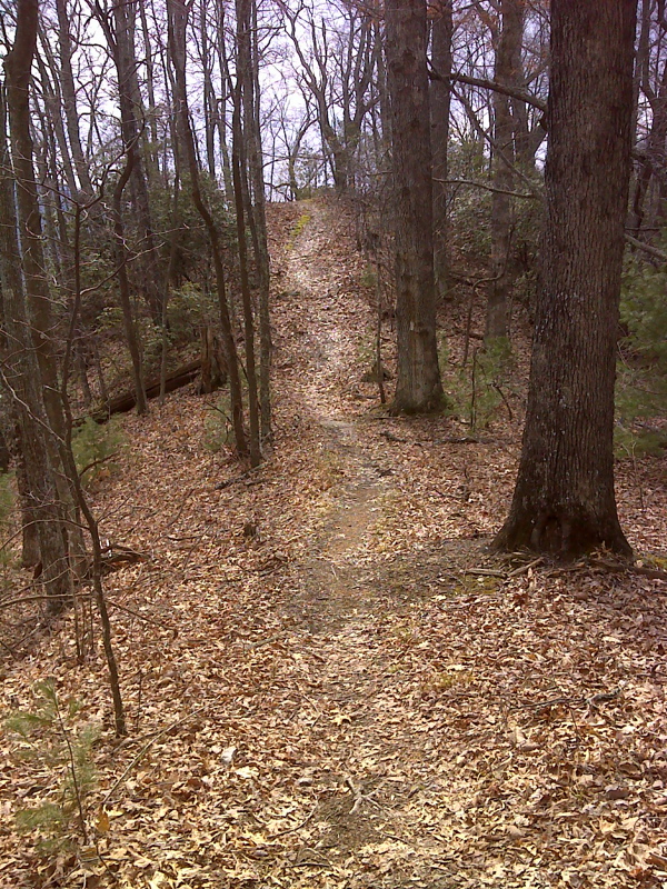
Knob 2 of 6 southbound, Temple Ridge. GPS N36.0890 W82.4577
Submitted by pjwetzel @ gmail.com
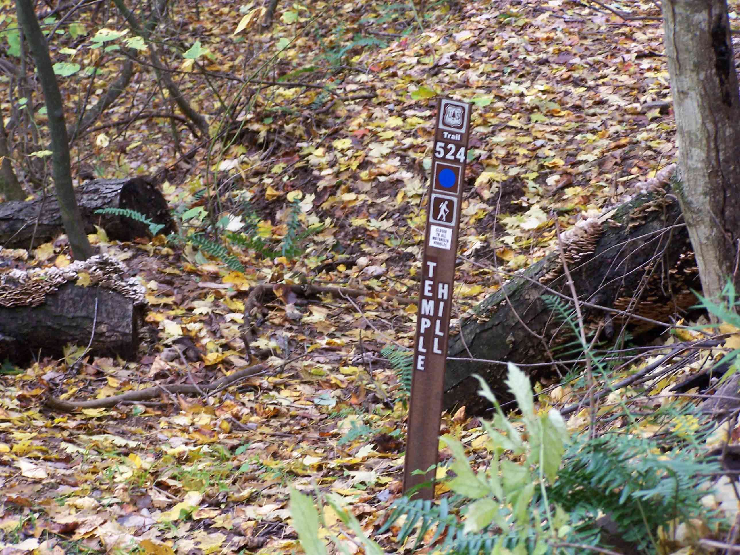
mm 3.9 - Temple Hill junction with the AT.
Submitted by at @ rohland.org
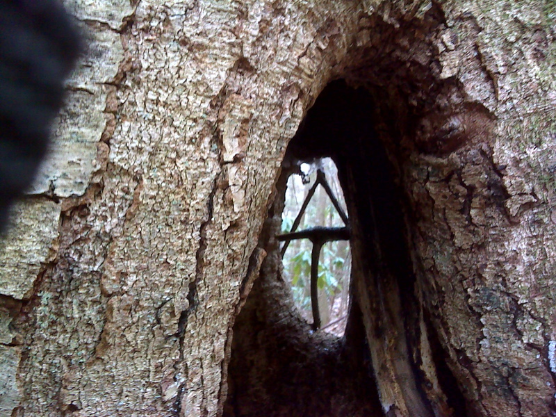
Trail Art - Hollow trail tree on No Business Ridge. GPS N36.0684 W82.4381
Submitted by pjwetzel @ gmail.com
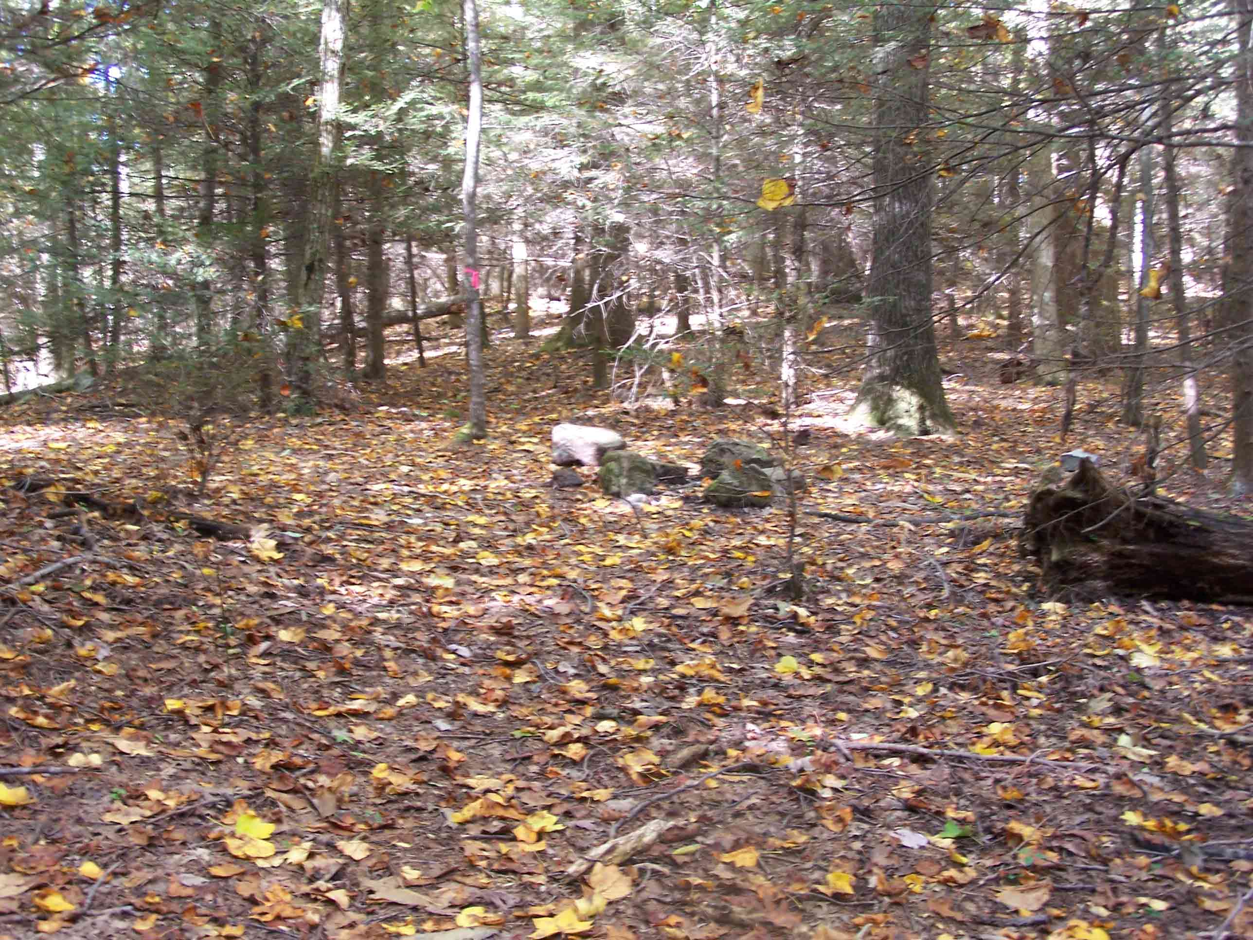
mm 6.3 - Campsite just north of No Business Knob Shelter.
Submitted by at @ rohland.org