TN/NC Section 11 Pictures - Milemarker 0.0 - 1.4
Spivey Gap - High Rocks
Move your mouse across the pictures for more information.
mm 0.0 - AT sign start of section, Spivey gap.
Submitted by judyverlinhowell @ hotmail.com
mm 0.0 Rock bridge over small creek near US 19W in Spivey Gap.
Submitted by dlcul @ conncoll.edu
mm 0.2 Deer browse.
Submitted by dlcul @ conncoll.edu
mm 0.5 The trail follows an old road for some distance west (trail south) of Spivey Gap.
Submitted by dlcul @ conncoll.edu

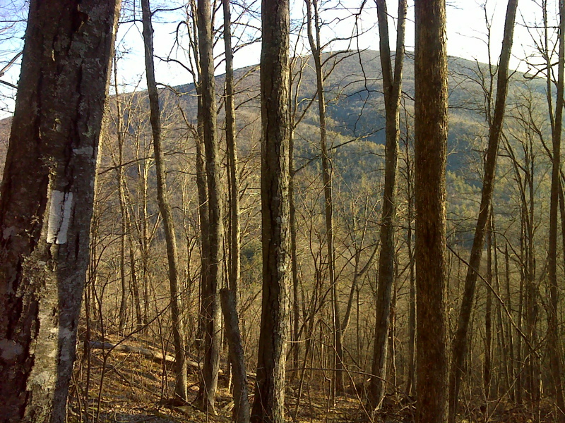
Winter view of Flattop Mountain while ascending toward High Rocks. GPS N36.0279 W82.4277
Submitted by pjwetzel @ gmail.com
mm 1.4 View just east (trail north) of High Rocks.
Submitted by dlcul @ conncoll.edu
mm 1.4 View just east (trail north) of High Rocks.
Submitted by dlcul @ conncoll.edu
mm 1.4 Base of High Rocks.
Submitted by dlcul @ conncoll.edu