TN/NC Section 11 Pictures - Milemarker 1.5 - 4.3
High Rocks - Little Bald
Move your mouse across the pictures for more information.
Junction with the side trail to High Rocks. The guide book puts this at mm 2.0 but for a number of reasons, I feel a value of approximately 1.5 miles is more appropriate.
Submitted by dlcul @ conncoll.edu

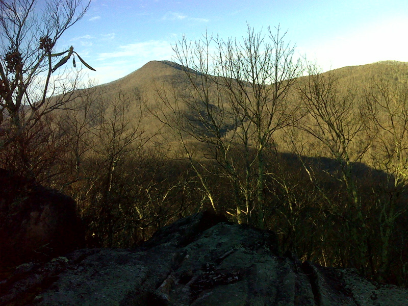
View of Little Bald from High Rocks. GPS N36.0230 W82.4287
Submitted by pjwetzel @ gmail.com
mm 2.3 Campsite in Whistling Gap.
Submitted by dlcul @ conncoll.edu
mm 2.9 AT marker on rock.
Submitted by judyverlinhowell @ hotmail.com
mm 2.9 Another view of the AT Rock.
Submitted by dlcul @ conncoll.edu

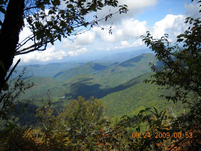
mm 4.3 View from Little Bald.
Submitted by baldmountainhouse @ yahoo.com

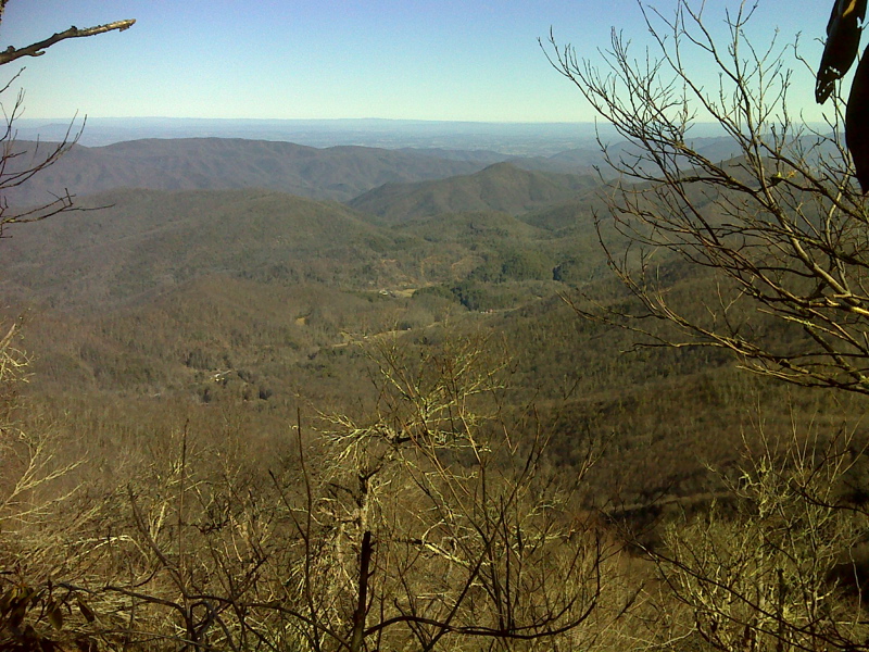
mm 4.3 View from Little Bald taken in February 2012. GPS N36.009 W82.4588
Submitted by pjwetzel @ gmail.com
mm 4.3 Interesting dead tree at viewpoint on Little Bald.
Submitted by dlcul @ conncoll.edu