TN/NC Section 13 Pictures - Milemarker 11.2 - 12.3
Exposed ridge on Firescald Knob - White Rock Cliff
Move your mouse across the pictures for more information.
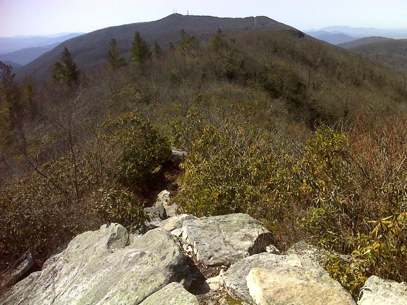
Exposed ridge walk looking southbound to Camp Creek Bald. GPS N36.0385 W82.6893
Submitted by pjwetzel @ gmail.com
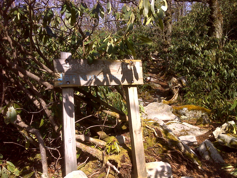
mm 11.9 South end of Bad Weather Bypass around Firescald Knob. GPS N36.0351 W82.6985
Submitted by pjwetzel @ gmail.com
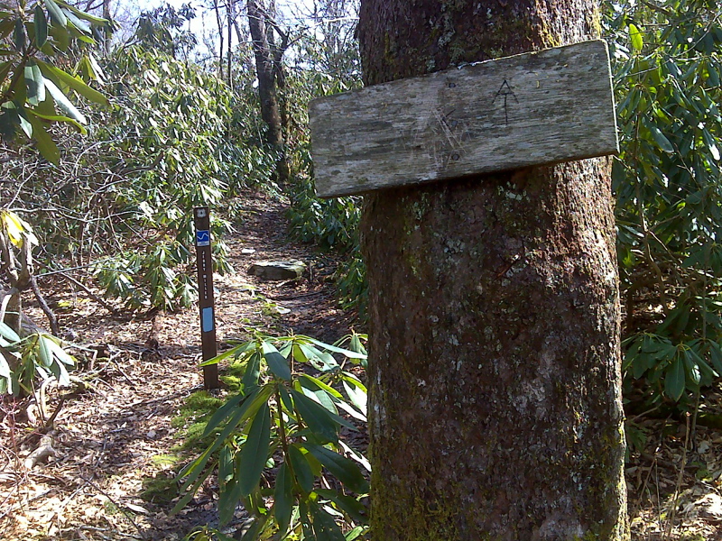
mm 11.9 Junction with Jerry Miller Trail GPS N36.0347 W82.6984
Submitted by pjwetzel @ gmail.com
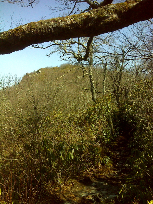
Firescald Knob as seen from the west (trail south). GPS N36.0345 W82.6989
Submitted by pjwetzel @ gmail.com
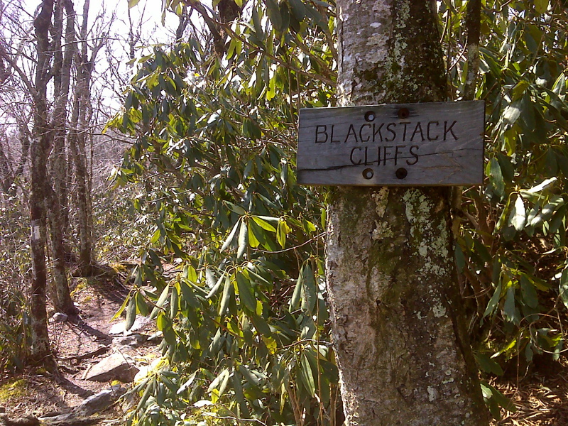
mm 12.1 Junction with trail to Blackstack Cliffs. GPS N36.0340 W82.7010
Submitted by pjwetzel @ gmail.com
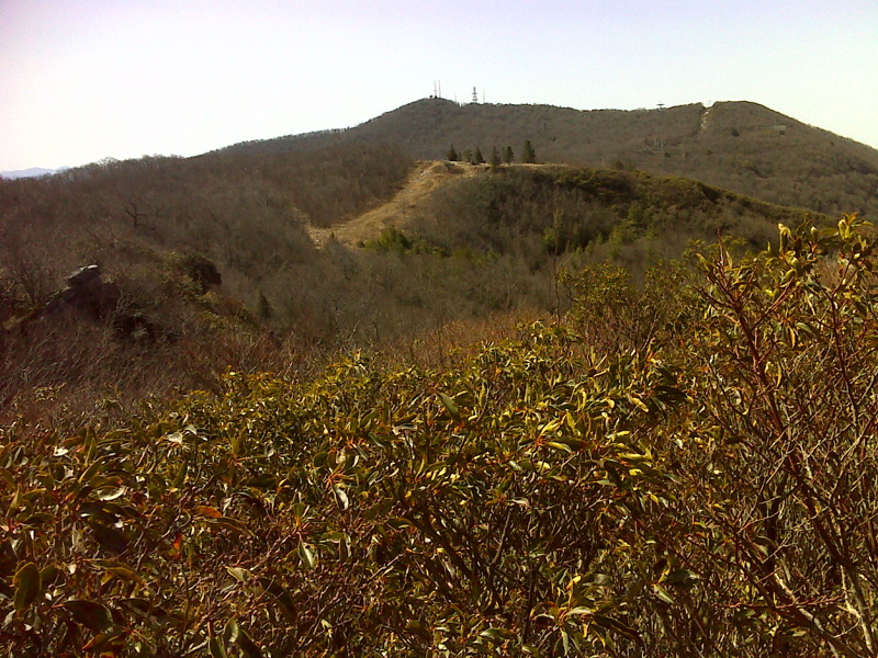
mm 12.1 View to Camp Creek Bald and Jones Meadow from Blackstack Cliffs. The parking area at the end of the road in Jones Meadow can be seen. GPS N 36.0345 W. 82.7016
Submitted by pjwetzel @ gmail.com
mm 12.3 Junction with trail to White Rock Cliff. 36.152.14 N 82.4159.27 W
Submitted by commissar67 @ gmail.com
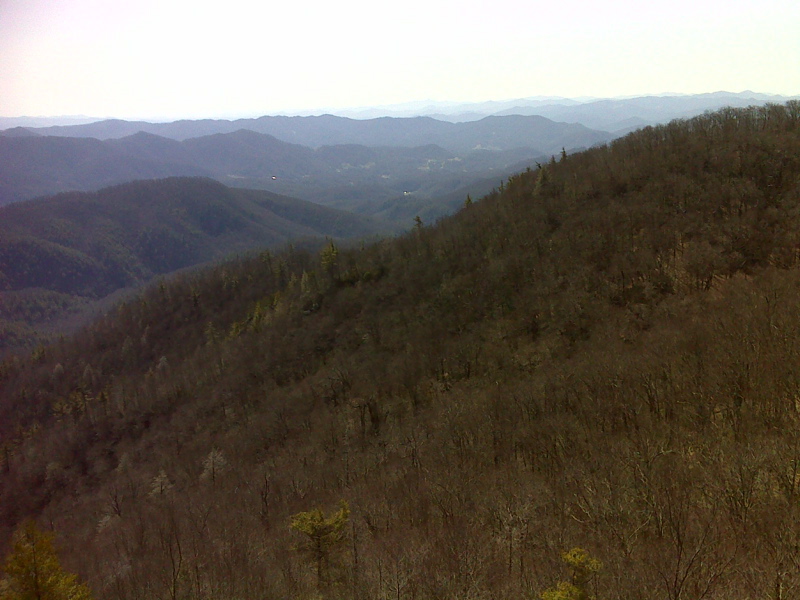
mm 12.3 Part of wide vista from Whiterock cliff. GPS N 36.0318 W 82.7006
Submitted by pjwetzel @ gmail.com