TN/NC Section 14 Pictures - Milemarker 5.3 - 6.5
North of Hurricane Gap - Former Trail to Rich Mt. Fire Tower
Move your mouse across the pictures for more information.

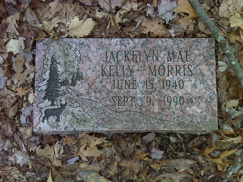
Memorial stone north of Hurricane Gap GPS N 35.9388 W82.8044
Submitted by pjwetzel @ gmail.com

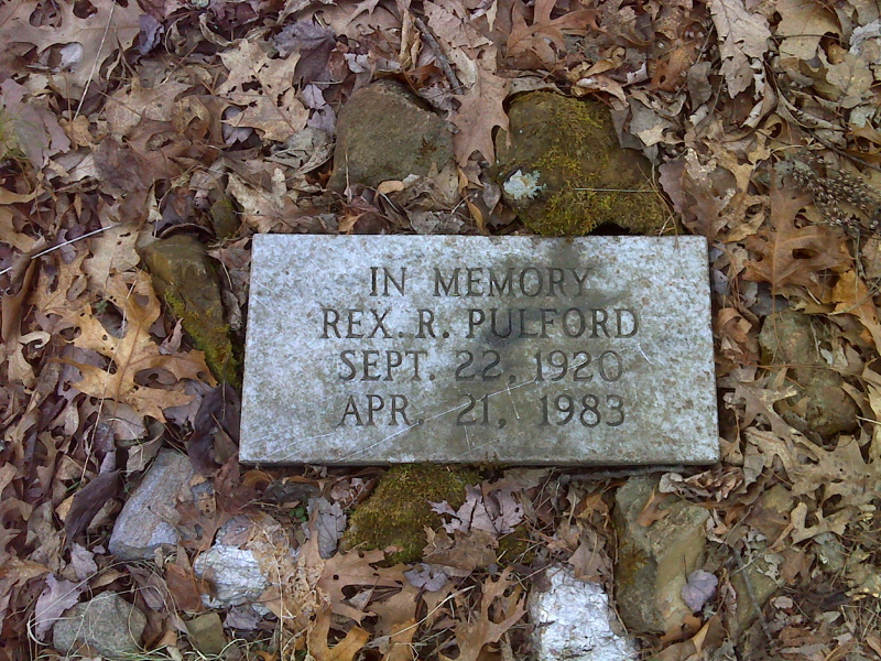
Memorial stone north of Hurricane Gap GPS N 35.9368 W82.8061
Submitted by pjwetzel @ gmail.com
mm 5.4 Hurricane Gap
Submitted by dlcul @ conncoll.edu

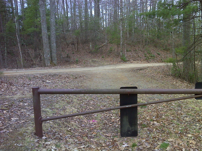
mm 5.6 Trail crossing of the road to Rich Mt. Fire Tower south of Hurricane Gap GPS N 35.9345 W82.8047
Submitted by pjwetzel @ gmail.com
mm 6.4 Campsite on ridge crest of Rich Mountain
Submitted by dlcul @ conncoll.edu
mm 6.5 Trail intersection. Here the northbound AT goes right while the trail straight ahead leads to Rich Mountain fire tower. Update (2018): One can no longer climb the tower.
Submitted by dlcul @ conncoll.edu