TN/NC Section 14 Pictures - Milemarker 9.8 - 11.4
Pond - Pump Gap Trail
Move your mouse across the pictures for more information.
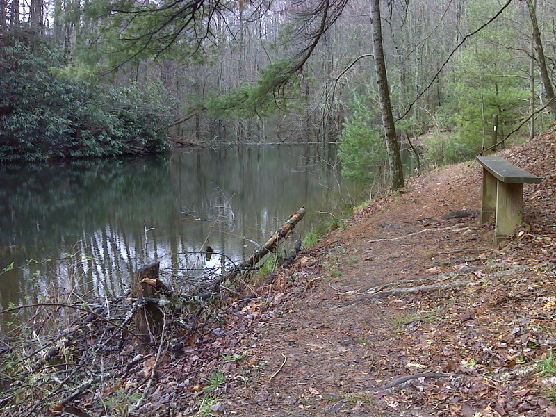
mm 9.8. This picture of one of the two benches on the side of a pond is similar to the previous one except that this one was taken in March 2012 when leaves were off the trees and bushes. The pond is more visible. GPS 35.9010 W82.7914
Submitted by pjwetzel @ gmail.com
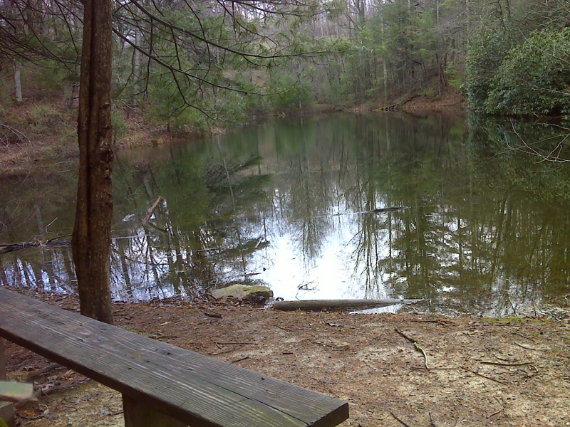
mm 9.8 View of the pond and the second bench along it.
Submitted by pjwetzel @ gmail.com
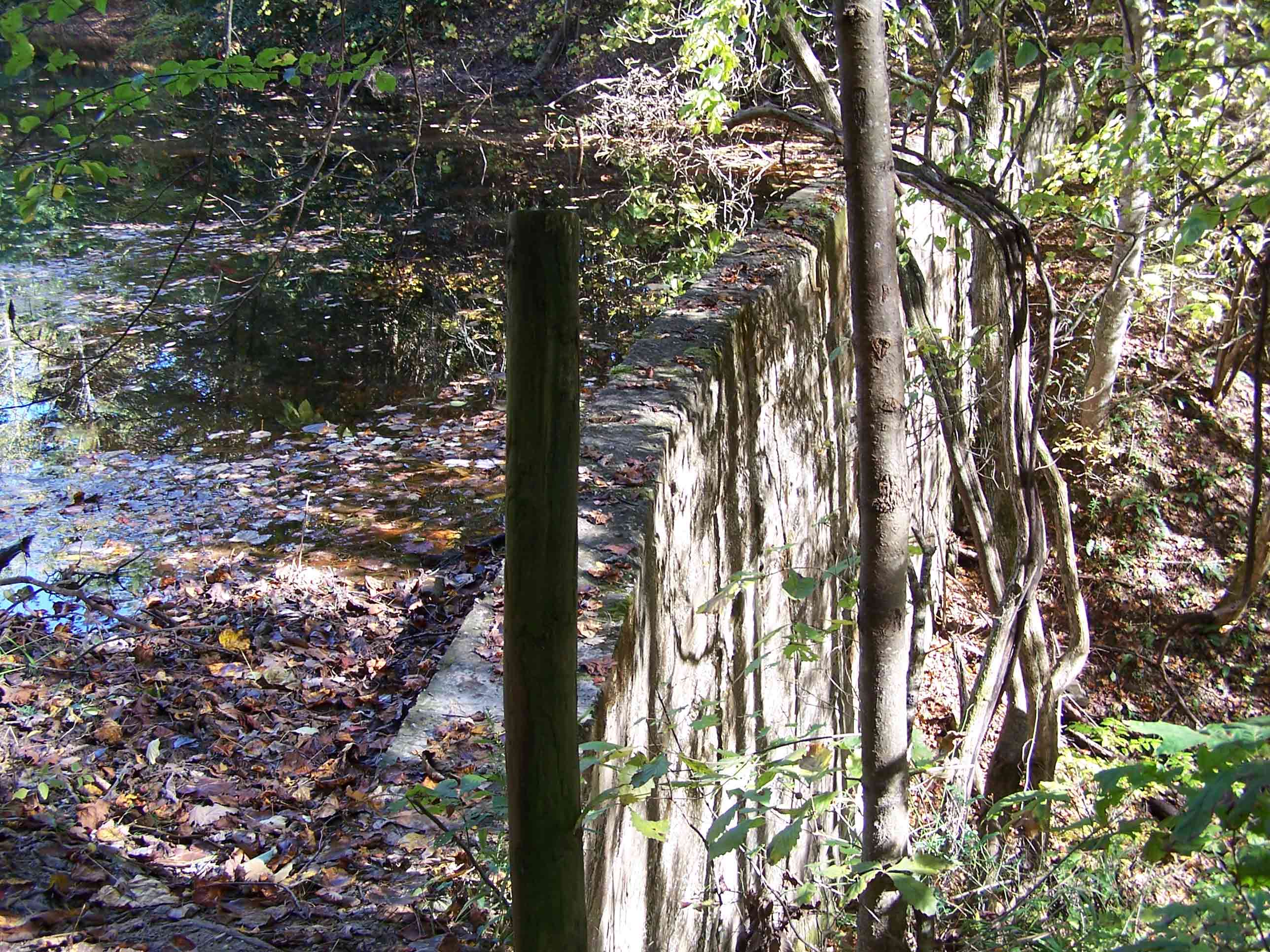
mm 9.8 - Dam that created pond.
Submitted by at @ rohland.org
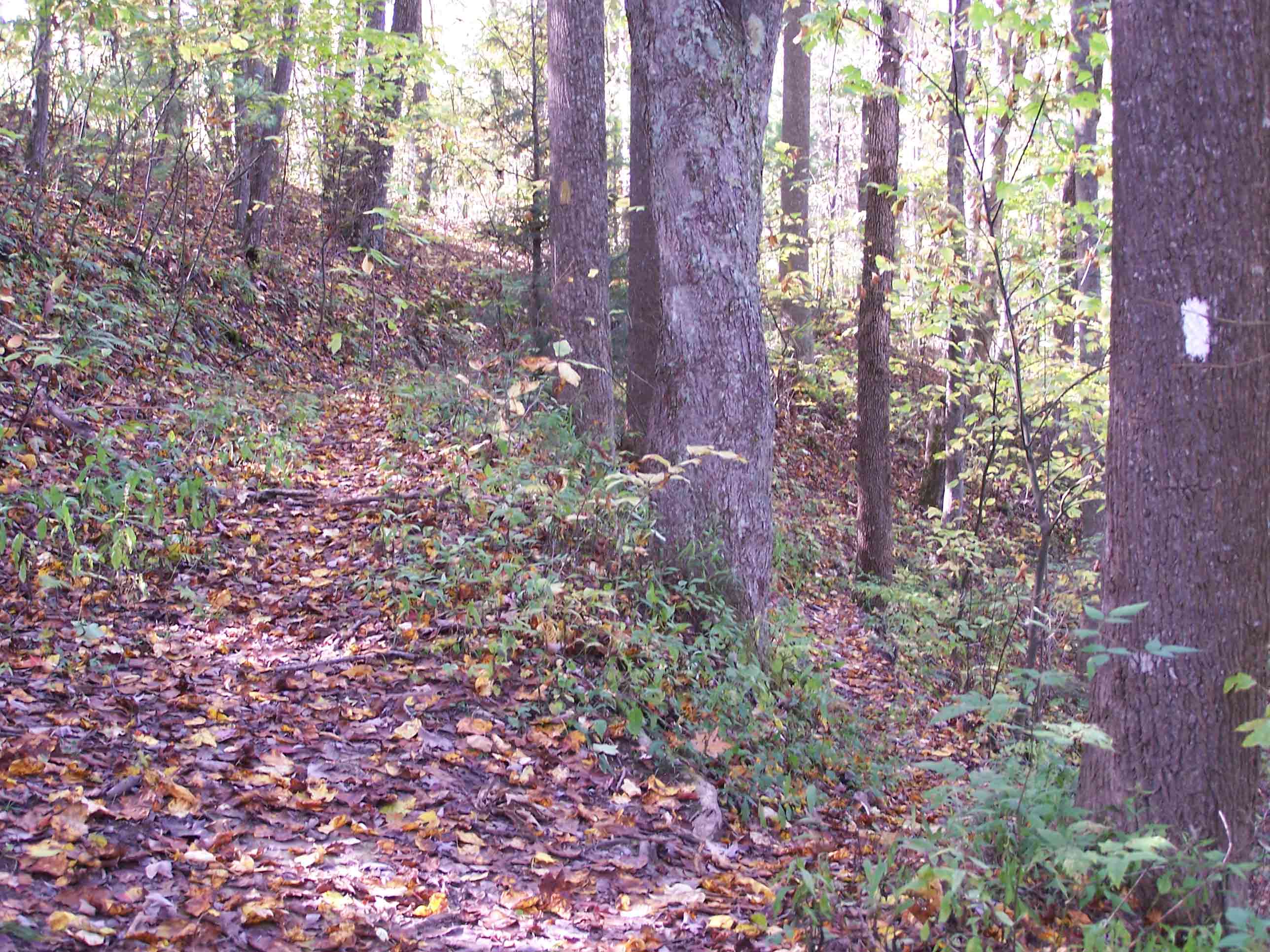
Trail
Submitted by at @ rohland.org
mm 10.5 The AT joins a woods road for a short distance, then goes right. A double blaze can been seen on a tree in this picture looking southbound on the trail. The yellow-blazed Pump Gap Trail comes in from the left, then continues ahead on the woods road. There is no trail sign.
Submitted by dlcul @ conncoll.edu
mm 10.5 Campsite near the northern intersection of the yellow-blazed Pump Gap Trail.
Submitted by dlcul @ conncoll.edu
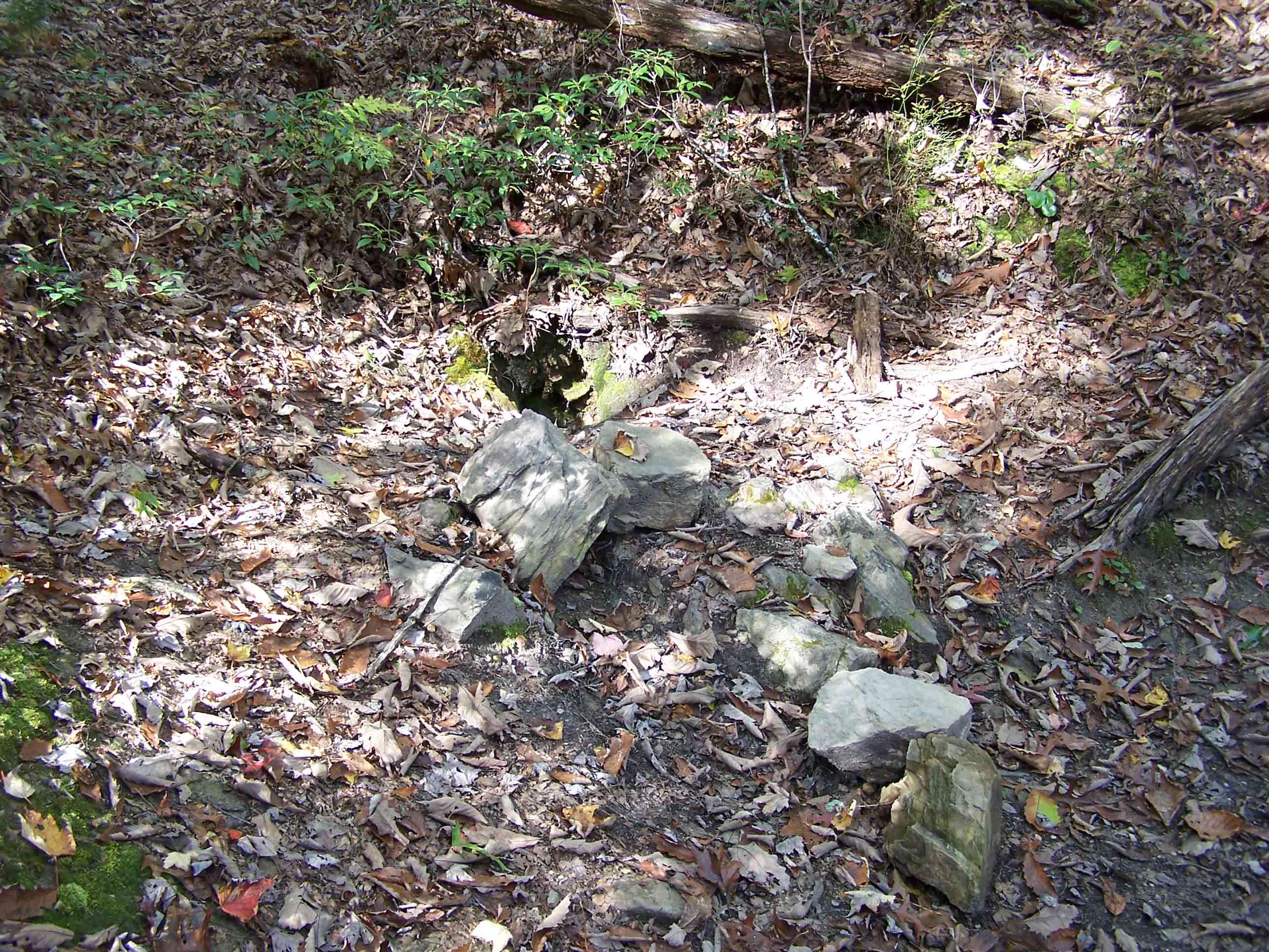
Spring
Submitted by at @ rohland.org
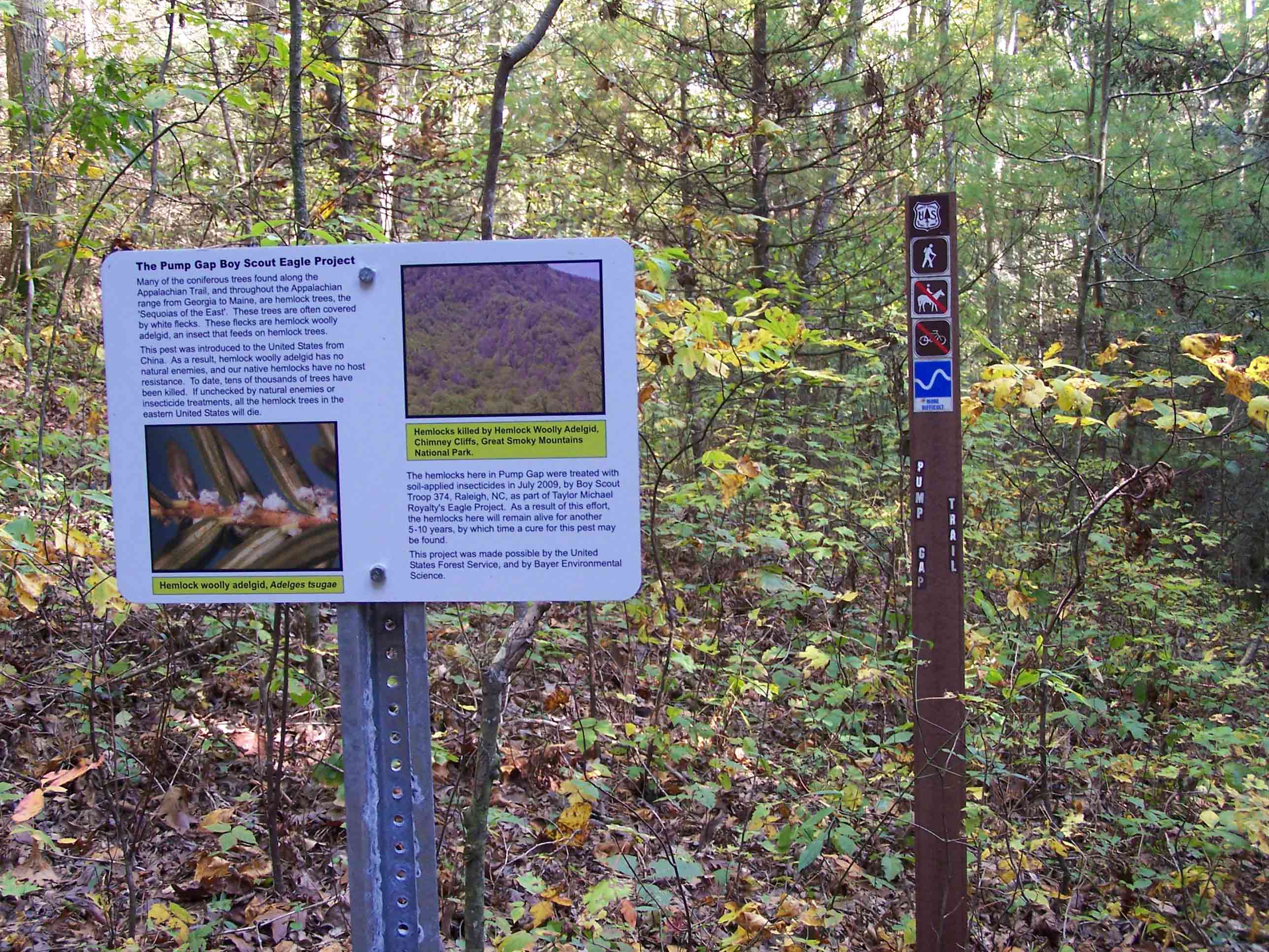
mm 11.4 - Cross blueblazed Pump Gap Trail
Submitted by at @ rohland.org