TN/NC Section 16 Pictures - Milemarker 0.0 - 5.6
Max Patch Road - Groundhog Creek Shelter
Move your mouse across the pictures for more information.
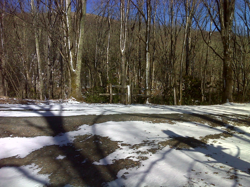
mm 0.0 Trail crossing of Max Patch Road GPS N37.7992 W82.9618
Submitted by pjwetzel @ gmail.com
mm 0.0 Trail head parking on Max Patch Road
Submitted by dlcul @ conncoll.edu
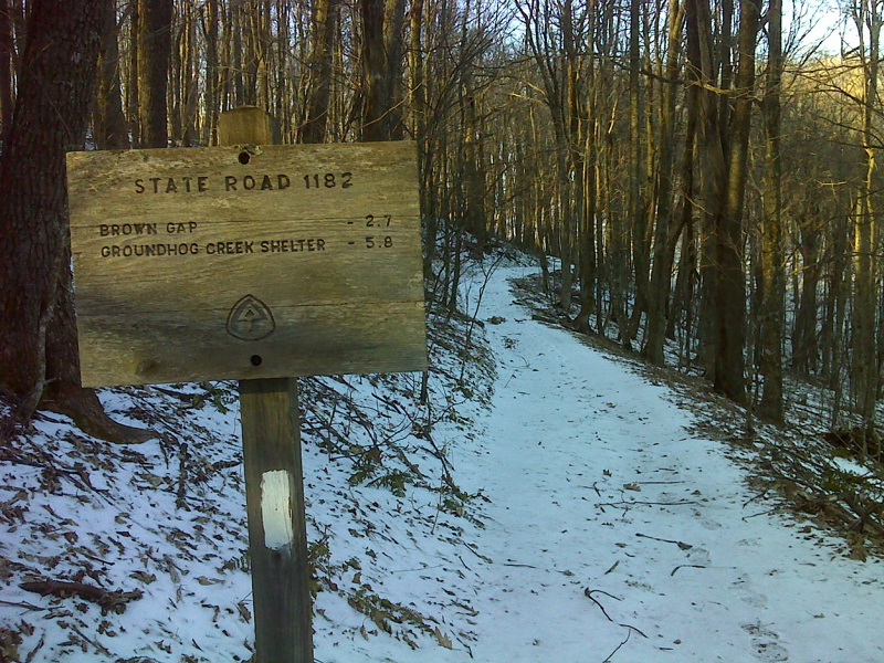
mm 0.0 Sign as the southbound AT leaves Max Patch Road GPS N35.7913 W82.9626
Submitted by pjwetzel @ gmail.com
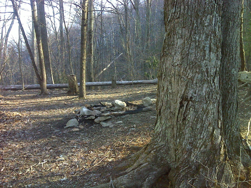
mm 2.7 Camping area on flat just N of Brown gap. GPS N35.7733 W82.9936
Submitted by pjwetzel @ gmail.com
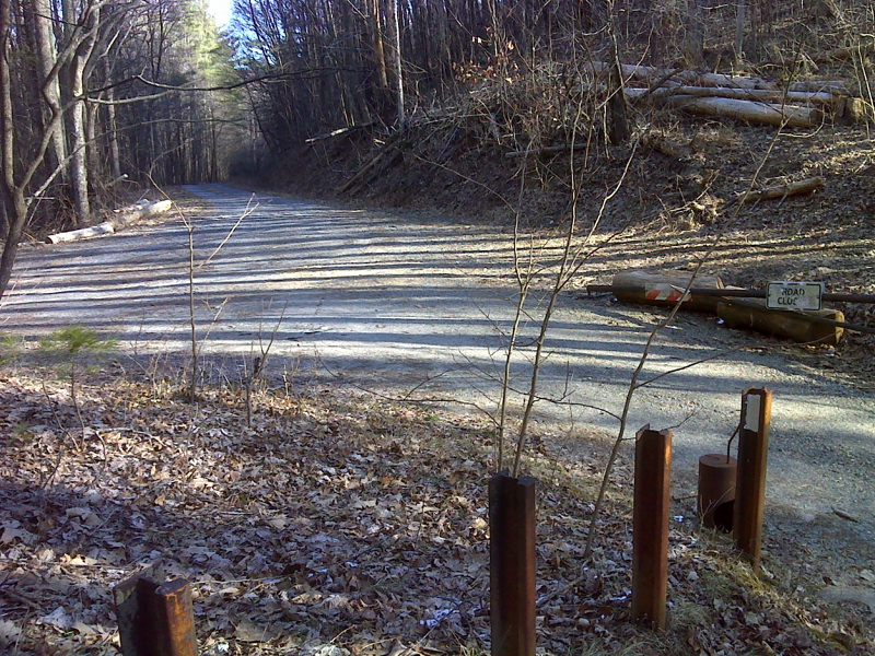
mm 2.7 Brown gap, trail crossing, 3 road jct, room to park. GPS N35.7731 W82.9957
Submitted by pjwetzel @ gmail.com
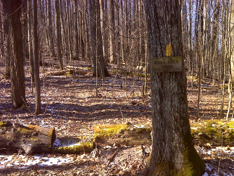
Junction with the Rube Rock Trail. Taken at approx. mm 3.2 GPS N35.7737 W83.0012
Submitted by pjwetzel @ gmail.com
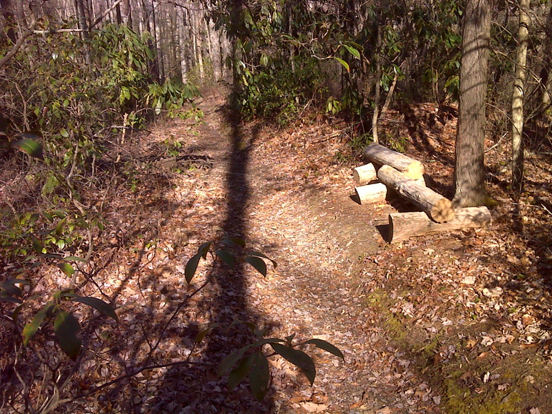
Rest stop, slopes north of Deep Gap and Groundhog Creek. GPS N35.7810 W 83.0136
Submitted by pjwetzel @ gmail.com
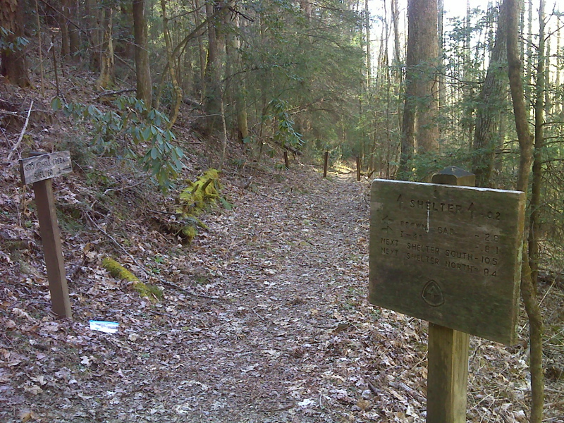
mm 5.6 Junction with trail to Groundhog Creek Shelter. GPS N35.7810 W 83.0136
Submitted by pjwetzel @ gmail.com