TN/NC Section 16 Pictures - Milemarker 5.6 - 8.1
Groundhog Creek Shelter - Snowbird Mt. Summit
Move your mouse across the pictures for more information.
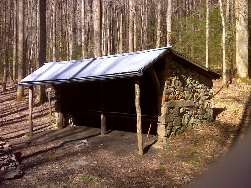
mm 5.6 Groundhog Creek Shelter. GPS N35.7819 W 83.0262
Submitted by pjwetzel @ gmail.com
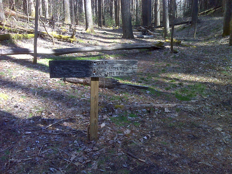
mm 5.6 Old sign in Deep Gap, AKA Groundhog Creek Gap. GPS N35.7825 W83.0262
Submitted by pjwetzel @ gmail.com
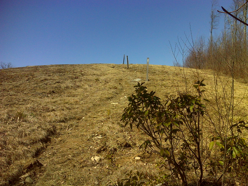
Snowbird Mt., emerging from woods southbound. Taken at approx. mm 8.0 GPS N35.7883 W83.0491
Submitted by pjwetzel @ gmail.com
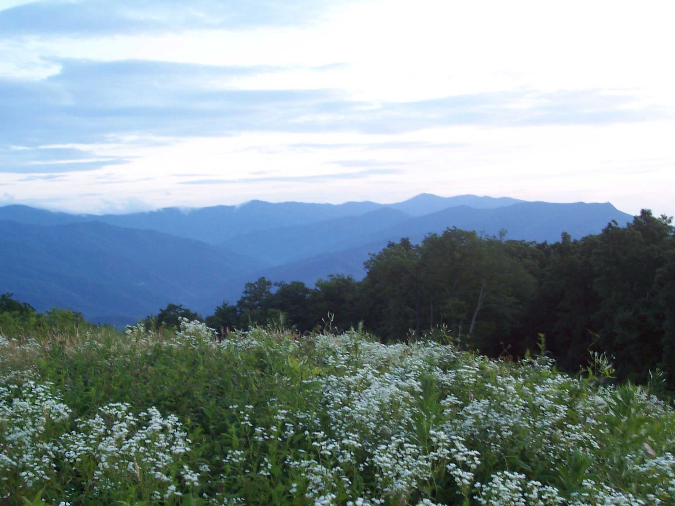
mm 8.1 - Mt. Cammerrer on extreme right and Mt Guyot and Eastern GSMNP taken from Snowbird Mt just North of Davenport Gap.
Submitted by willey54 @ yahoo.com
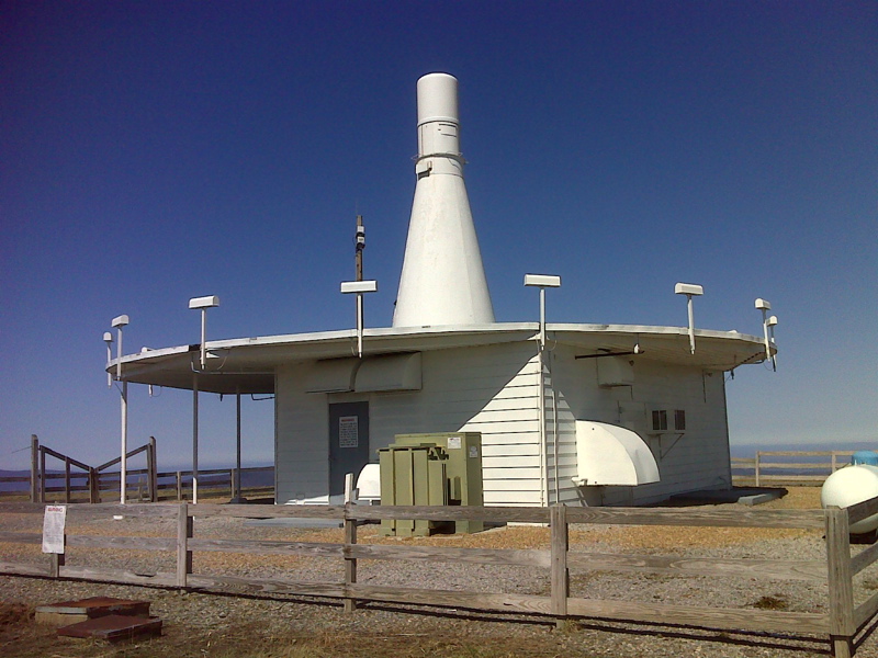
mm 8.1 FAA navigation tower on summit of Snowbird Mt. GPS N35.7898 W83.0491
Submitted by pjwetzel @ gmail.com
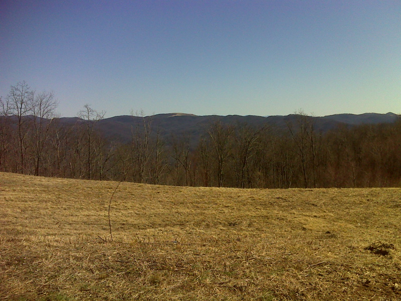
mm 8.1 Looking east from summit of Snowbird Mt. Max Patch is the mountain with the cleared summit.
Submitted by pjwetzel @ gmail.com
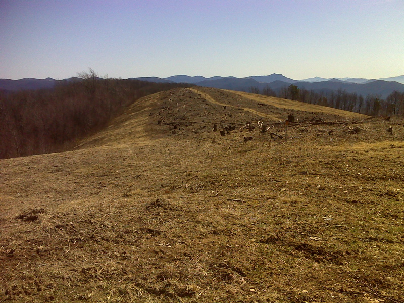
mm 8.1 Recent clearing activity, AT north bound, Snowbird Mt.
Submitted by pjwetzel @ gmail.com
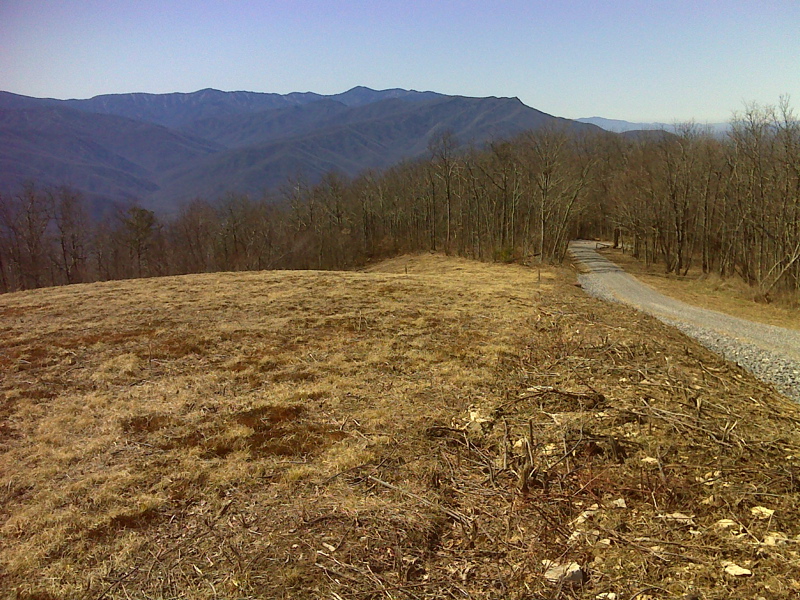
mm 8.1 Smokies as seen from Snowbird Mtn summit.
Submitted by pjwetzel @ gmail.com