TN/NC Section 16 Pictures - Milemarker 8.1 - 13.6
Camping area - Waterville Road
Move your mouse across the pictures for more information.
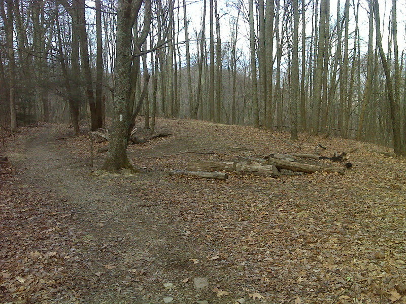
Camping area above Spanish Oak Gap. GPS N35.7880 W 83.0690
Submitted by pjwetzel @ gmail.com
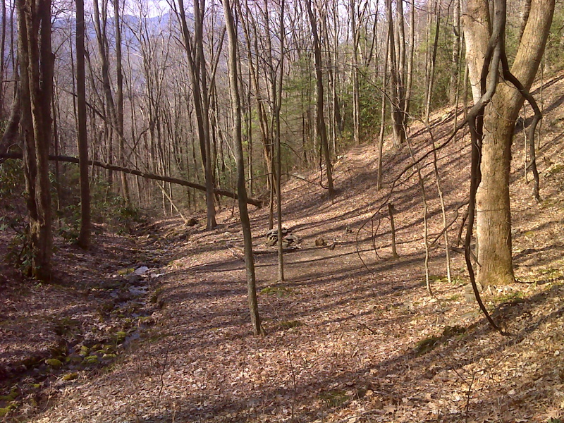
Camping area with spring below Spanish Oak Gap. GPS N35.7854 W 83.0766
Submitted by pjwetzel @ gmail.com
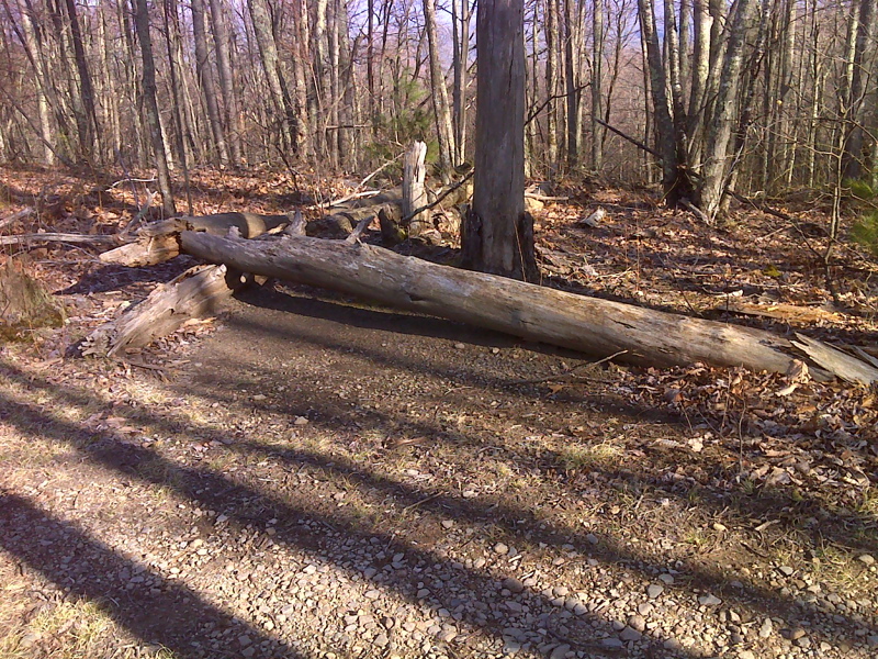
Rest stop on the south slopes of Snowbird Mt. GPS N 31.7882 N83.0706
Submitted by pjwetzel @ gmail.com
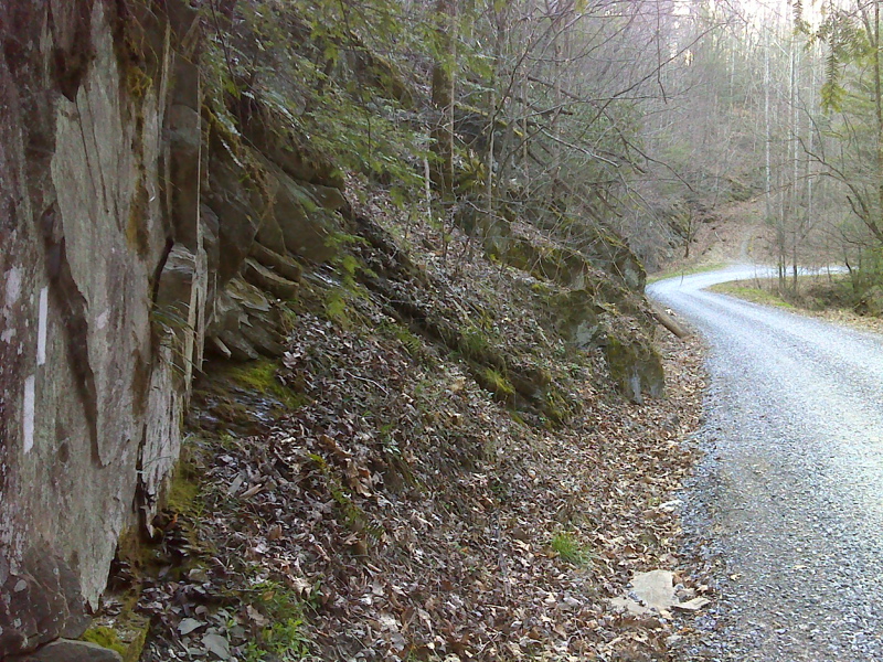
mm 12.8 Short walk along Waterville School Road. GPS N35.7822 W83.1024
Submitted by pjwetzel @ gmail.com
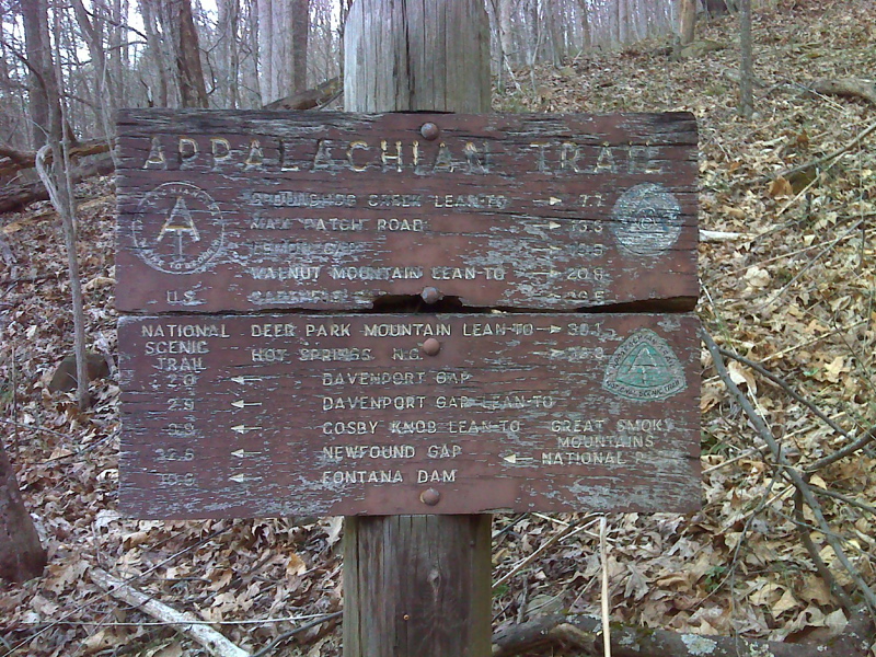
mm 13.3 Old trail sign as the northbound AT leaves Waterville School Road
Submitted by pjwetzel @ gmail.com
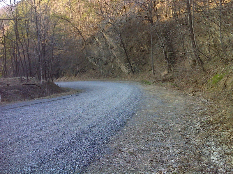
mm 13.3 Waterville School Road just east (trail north) of I-40. Note the roadside parking. The steps on the right side of the picture are used by northbound AT as it leaves the road. GPS N35.7830 W83.1097
Submitted by pjwetzel @ gmail.com
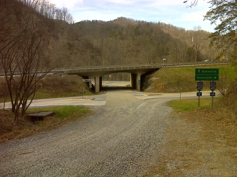
mm 13.3 I-40 overpass from Waterville School Road. The southbound trail goes under the freeway, turns right and follows the frontage road for about 0.1 miles before going left across a bridge over the Pigeon River.
Submitted by pjwetzel @ gmail.com
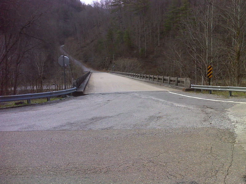
mm 13.6 The AT follows Waterville Road across the Pigeon River on this highway bridge just west (trail south) of I-40. GPS N35.7855 W 83.1122
Submitted by pjwetzel @ gmail.com