TN/NC Section 16 Pictures - Milemarker 13.7 - 15.2
Waterville Road - Davenport Gap
Move your mouse across the pictures for more information.
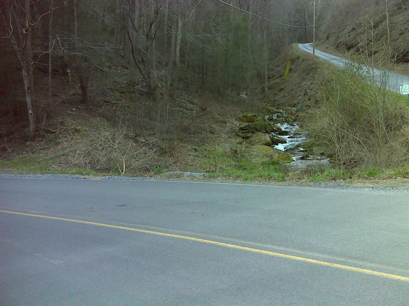
mm 13.7 AT southbound leaves Waterville Road. This is just west (trail south) of the Pigeon River Bridge. GPS N35.7844 W 83.1137
Submitted by pjwetzel @ gmail.com
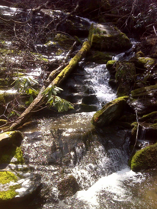
Falls at stream crossing, ascending toward Davenport Gap. GPS N35.7825 W 83.1150
Submitted by pjwetzel @ gmail.com
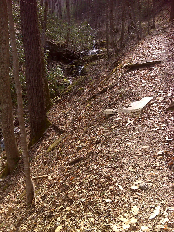
Upper cascades, AT southbound approaching Davenport Gap. GPS N35.7820 W 83.1150
Submitted by pjwetzel @ gmail.com
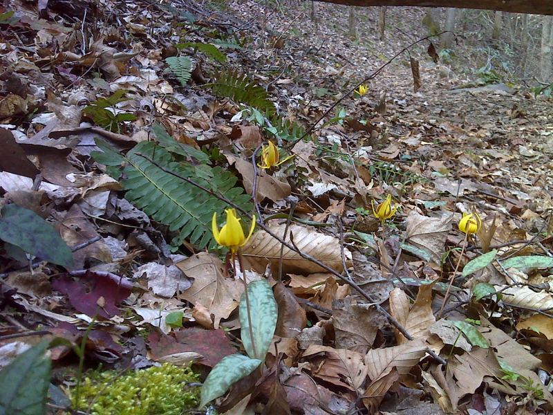
Trout lilies on trail north of Davenport Gap. GPS N35.7813 W83.1151
Submitted by pjwetzel @ gmail.com
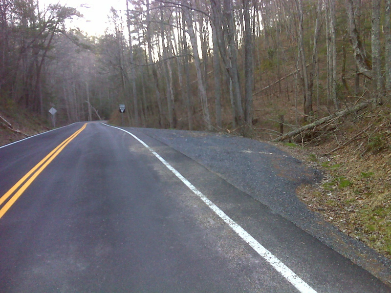
mm 15.2 Davenport Gap roadside Parking near AT crossing. GPS N35.7709 W 83.1112
Submitted by pjwetzel @ gmail.com
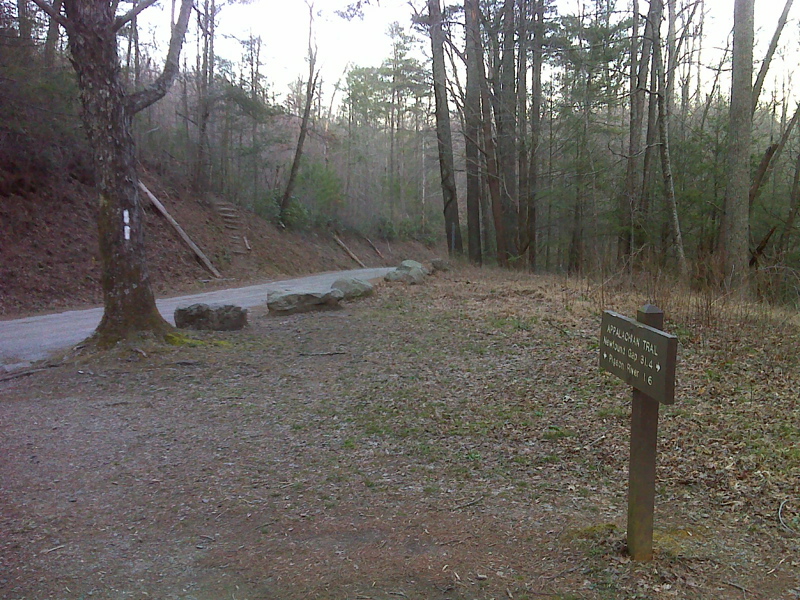
mm 15.2 Road Crossing of NC1397/TN 284 in Davenport Gap. GPS N35.7705 W83.1112
Submitted by pjwetzel @ gmail.com