TN/NC Section 17 Pictures - Milemarker 0.0 - 4.2
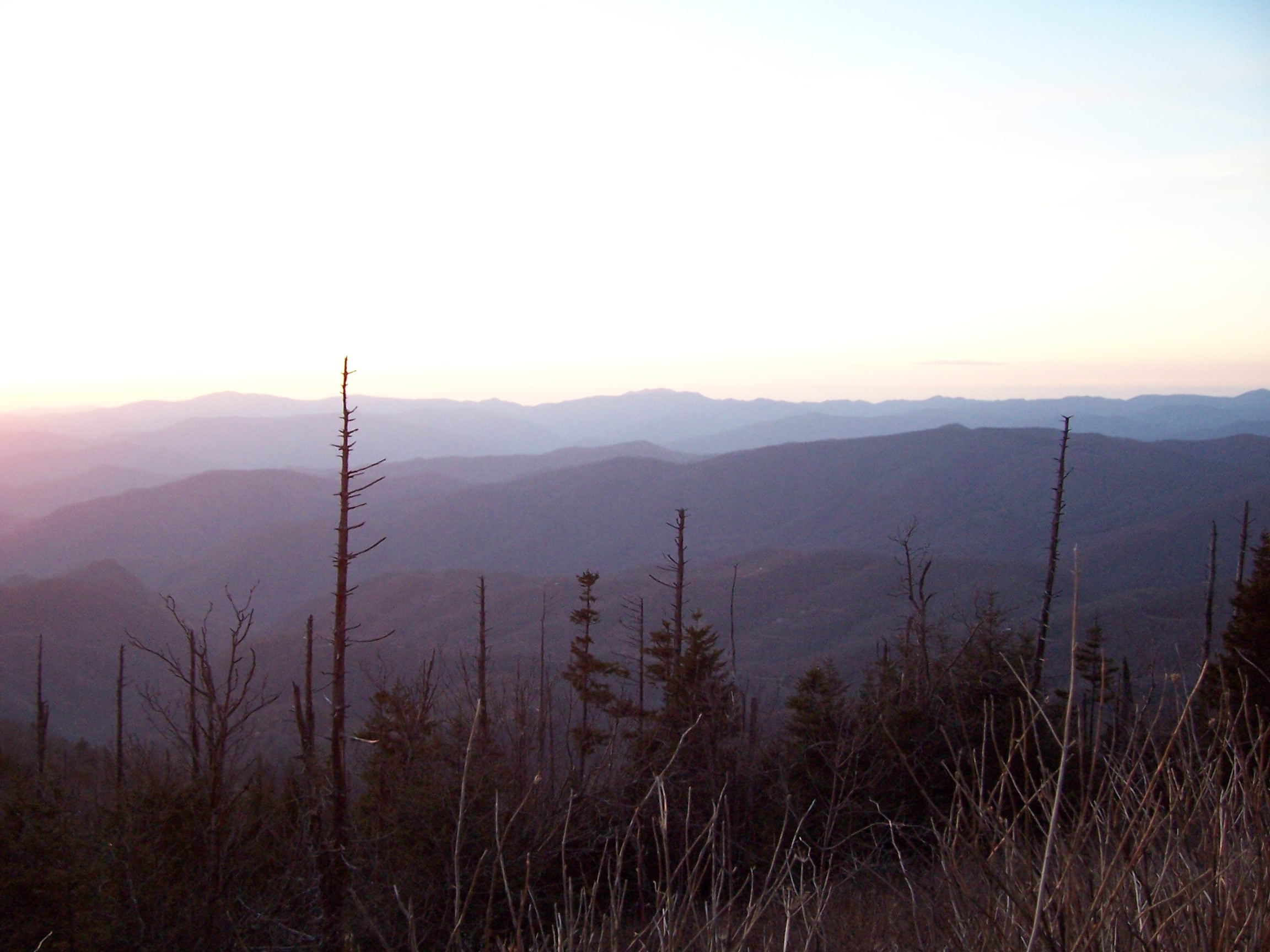
Water Rock Knob - View to West
Move your mouse across the pictures for more information.

Taken from Water Rock Knob on the Blue Ridge Parkway this pic shows the AT route from Clingman's Dome, Newfound Gap, Mt. Leconte, the Sawteeth all the way to Laurel Top.
Submitted by willey54 @ yahoo.com

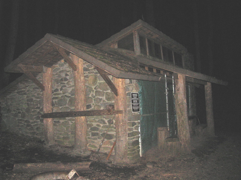
mm 0.9 Davenport Gap Shelter
Submitted by pjwetzel @ gmail.com
Parking at Big Creek Ranger Station. This provides far safer parking than Davenport Gap. From here one may walk up roads to Davenport Gap (mm 0.0) at the north end of Section 17 and south end of Section 16. Alternatively one may follow the Chestnut Branch Trail for two miles to the AT at mm 1.9 of Section 17.
Submitted by dlcul @ conncoll.edu
mm 1.9 Junction with the Chestnut Branch Trail. This may be followed 2 miles down to the Big Creek Ranger Station.
Submitted by dlcul @ conncoll.edu
Mountain Laurel along the trail . Taken at approx. mm 2.2
Submitted by dlcul @ conncoll.edu
mm 2.8 Junction with the Lower Mt Cammerer Trail.
Submitted by dlcul @ conncoll.edu
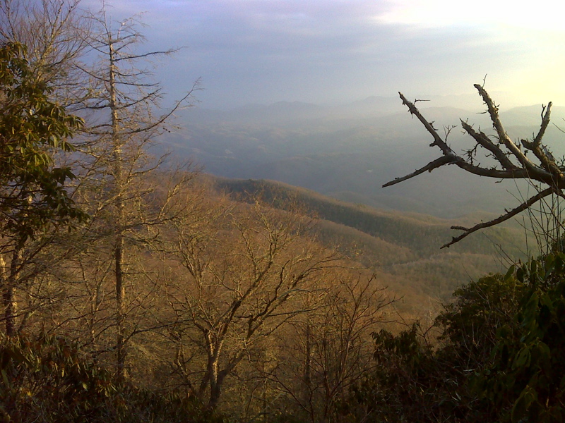
mm 4.2 View to the west on an unfortunately very hazy day.
Submitted by dlcul @ conncoll.edu

mm 4.2 Early Morning vista west toward Hartford, TN. GPS N35.7650 W83.1569
Submitted by pjwetzel @ gmail.com