TN/NC Section 17 Pictures - Milemarker 7.3 - 12.7
Low Gap - View of Old Black
Move your mouse across the pictures for more information.
Low Gap. From here the Low Gap Trail descends to Cosby Campground.
Submitted by dlcul @ conncoll.edu
mm 8.0 Trail to Cosby Knob Shelter. GPS N35.7287 W83.1823
Submitted by pjwetzel @ gmail.com
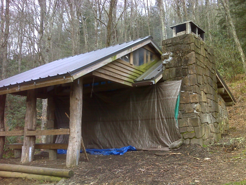
mm 8.0 Cosby Knob Shelter GPS N35.7283 W83.1820
Submitted by pjwetzel @ gmail.com
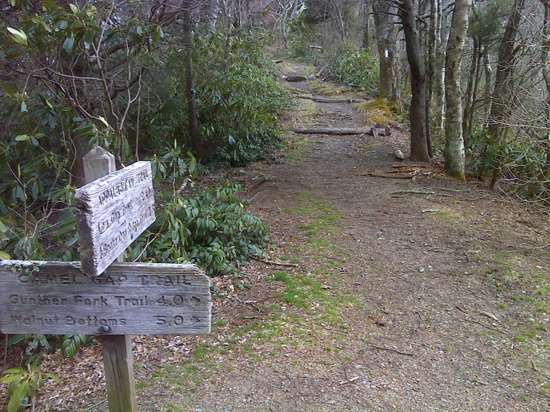
mm 9.5 Camel Gap GPS N35.7259 W83.2049
Submitted by pjwetzel @ gmail.com
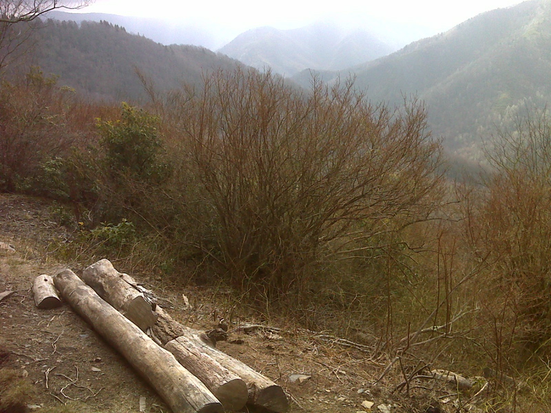
Vista of Yellow Creek Valley GPS N35.7257 W83.2080
Submitted by pjwetzel @ gmail.com
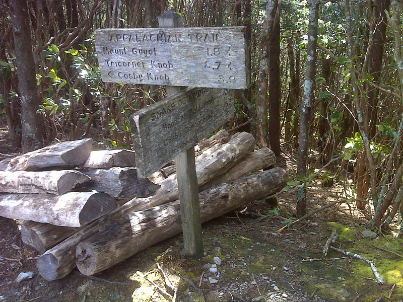
mm 11.9 Snake Den Ridge Trail junction . Locust logs are for planned trail upgrade. GPS N35.7269 W83.2380
Submitted by pjwetzel @ gmail.com
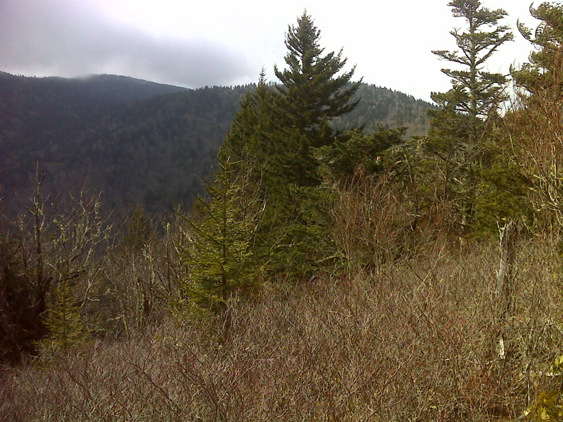
Old Black behind spruce, Mt. Guyot with cloud top at left. GPS N35.7218 W83.2460
Submitted by pjwetzel @ gmail.com
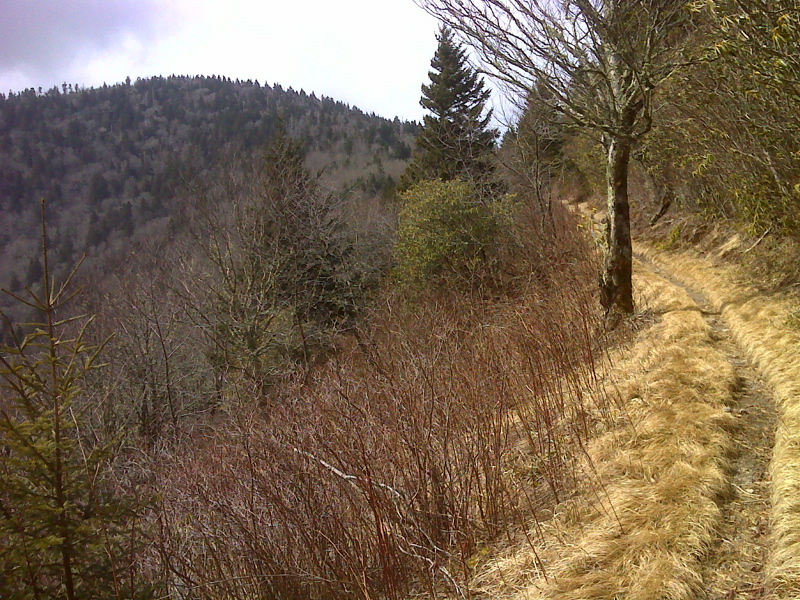
Inadu Knob looking southbound to Old Black. GPS N35.7207 W83.2491
Submitted by pjwetzel @ gmail.com