TN/NC Section 17 Pictures - Milemarker 13.3 - 22.2
View of English Mt. - Bradleys View
Move your mouse across the pictures for more information.
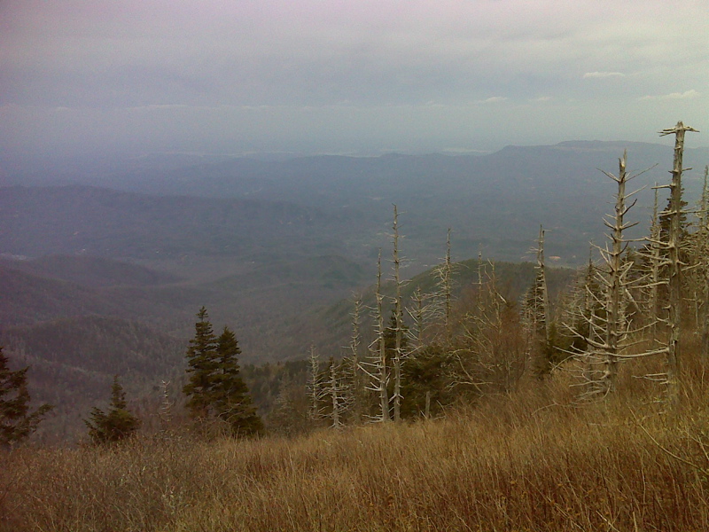
mm 13.3 View NW to English Mtn and Douglas Lake (French Broad R) beyond. GPS N35.7155 W83.2567
Submitted by pjwetzel @ gmail.com
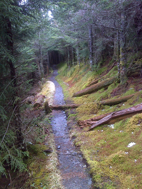
mm 14.5 Spruce Tunnel, Mt. Guyot Spur, at high point (higher than Mt. Washington). GPS N 35.7084 W83.2563
Submitted by pjwetzel @ gmail.com
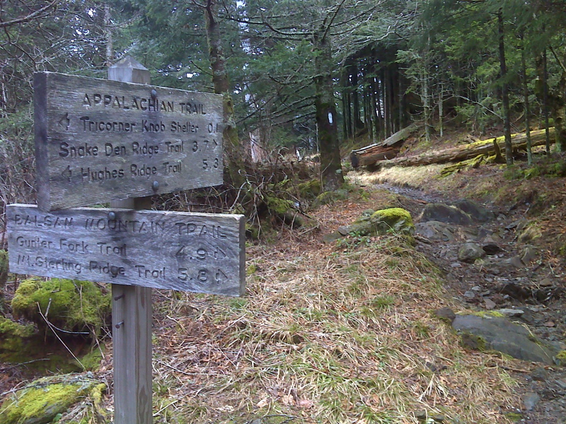
mm 15.5 Junction with Balsam Mountain Trail GPS N 35.7084 W83.2563
Submitted by pjwetzel @ gmail.com
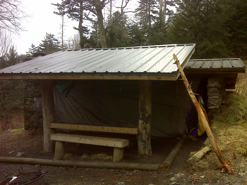
mm 15.7 Tricorner Knob Shelter GPS N 35.6938 W83.2565
Submitted by pjwetzel @ gmail.com
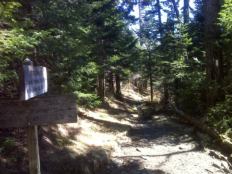
mm 20.9 Junction with the Hughes Ridge Trail. The Pecks Corner Shelter is 0.4 miles down this trail. GPS N35.6652 W83.3085
Submitted by pjwetzel @ gmail.com
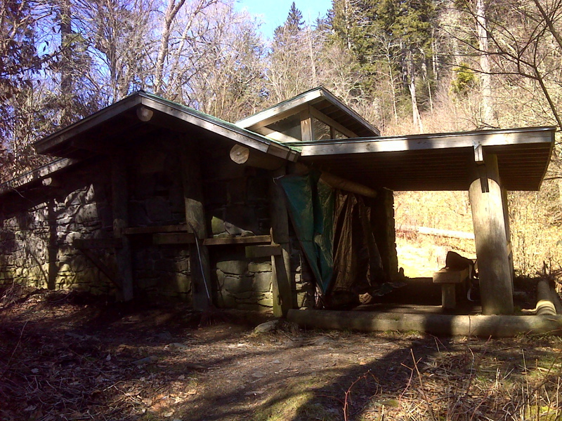
mm 20.9 Pecks Corner Shelter. GPS N 35.6508 W83.3208
Submitted by pjwetzel @ gmail.com
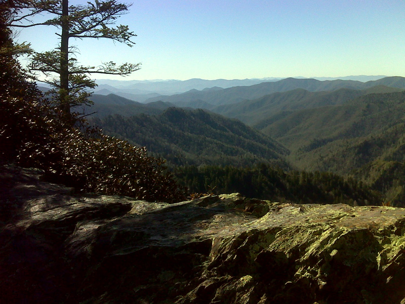
Nice rocky bench rest area and viewpoint. This may be what the Guidebook calls Bradleys View at mm 22.2. GPS N35.6623 W83.3209
Submitted by pjwetzel @ gmail.com
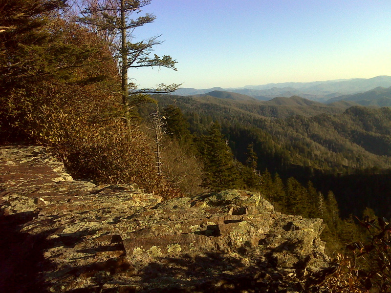
View East from Rocky bench rest area. This may be what the Guidebook calls Bradleys View at mm 22.2. GPS 35.6623 W83.3208
Submitted by pjwetzel @ gmail.com