TN/NC Section 17 Pictures - Milemarker 23.0 - 27.4
Souutheast View - Charlies Bunion
Move your mouse across the pictures for more information.
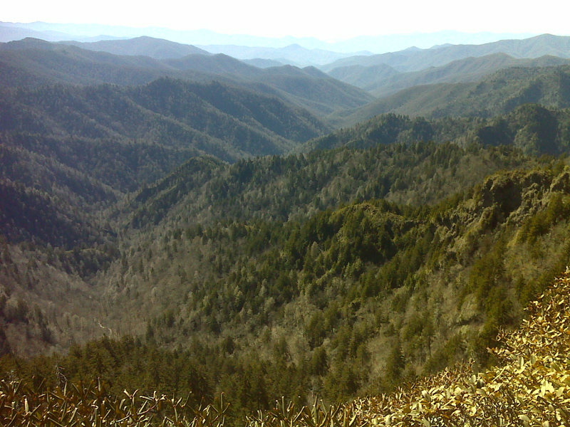
View to the southeast.Taken at approx. mm 23.0. GPS 35.6644 W83.3372
Submitted by pjwetzel @ gmail.com
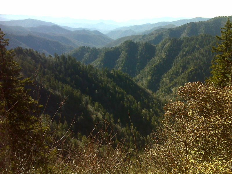
Another View to the southeast. GPS 35.6621 W83.3439
Submitted by pjwetzel @ gmail.com
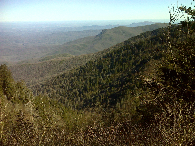
One of many superb vistas to the NW. GPS N35.6607 W83.3502
Submitted by pjwetzel @ gmail.com
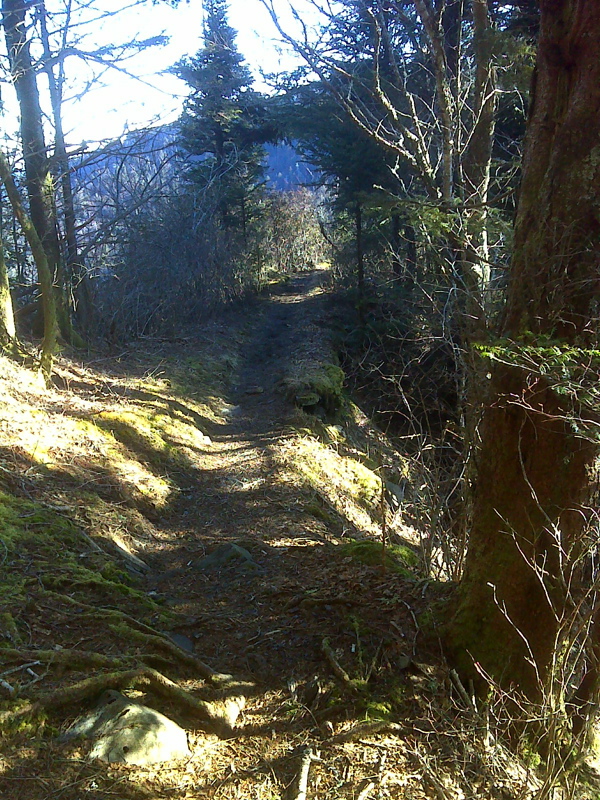
One of many knife-edge ridge walks. GPS N35.6412 W83.3659
Submitted by pjwetzel @ gmail.com
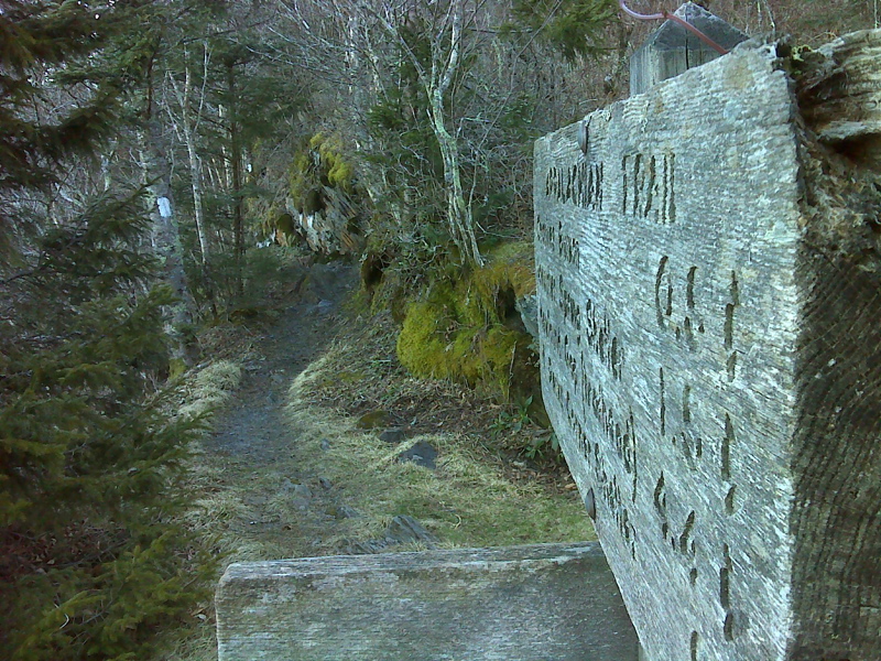
mm 27.1 Dry Sluice Gap Trail junction. GPS N35.6387 W83.3692
Submitted by pjwetzel @ gmail.com
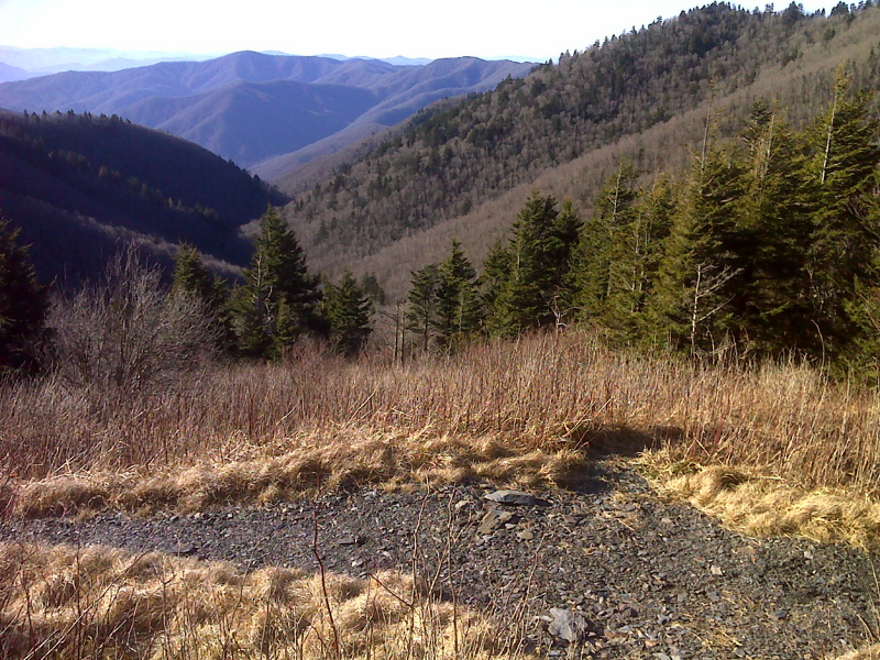
View SE from open meadow. GPS N35.6385 W83.3721
Submitted by pjwetzel @ gmail.com
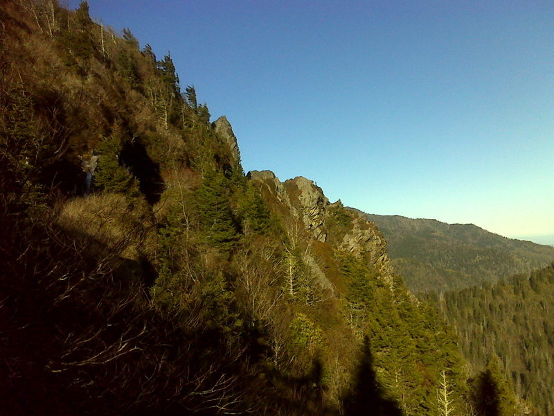
Charlies Bunion from the east. GPS N35.6374 W83.3756
Submitted by pjwetzel @ gmail.com
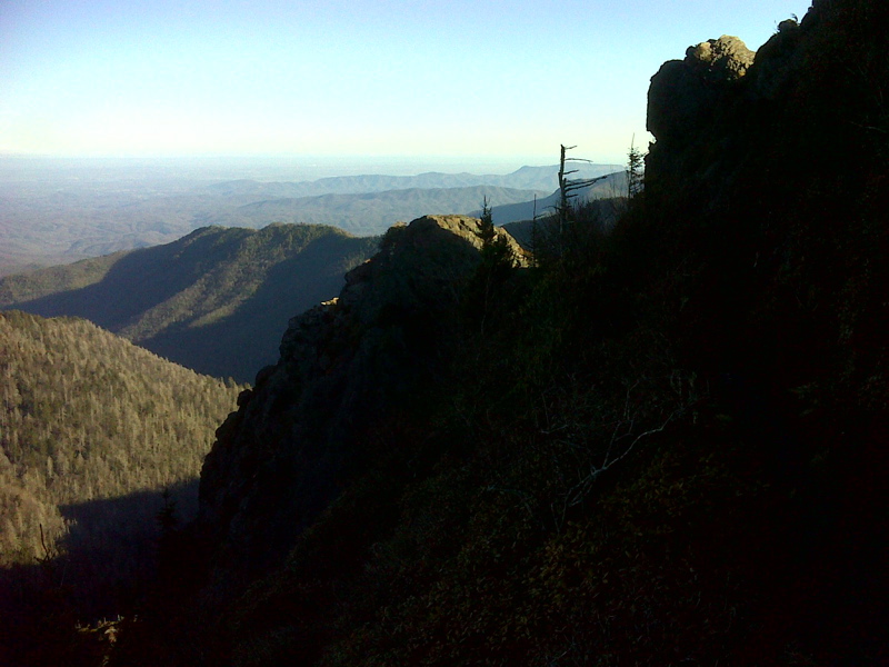
Charlies Bunion from the west. GPS N35.6371 W83.3766
Submitted by pjwetzel @ gmail.com