TN/NC Section 18 Pictures - Milemarker 0.0 - 4.5
Newfound Gap - Sugarland Mountain Trail
Move your mouse across the pictures for more information.

Tennessee mountains on the AT
Submitted
by cowboy1089 @ yahoo.com
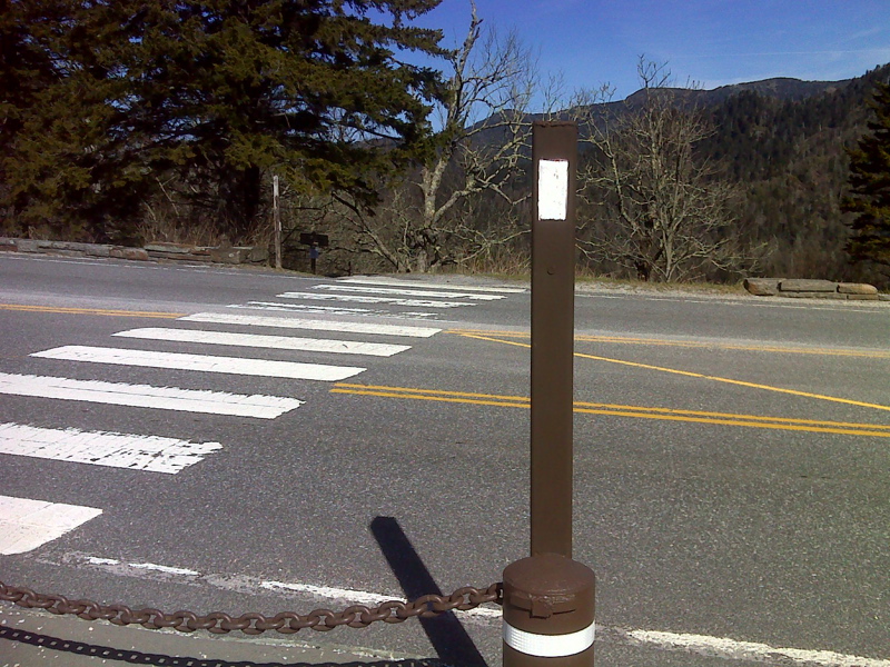
mm 0.0 The southbound AT crosses US 441 at Newfound Gap.
Submitted by pjwetzel @ gmail.com
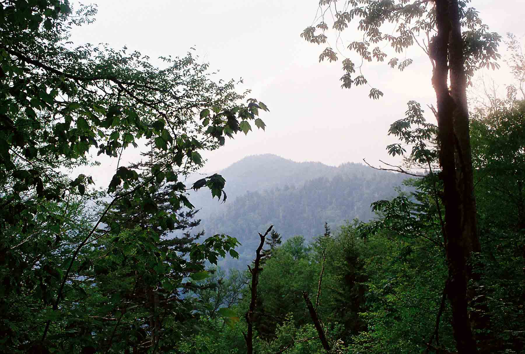
View of Mt. Le Conte from trail north of Clingmans Dome.
Submitted by dlcul @ conncoll.edu
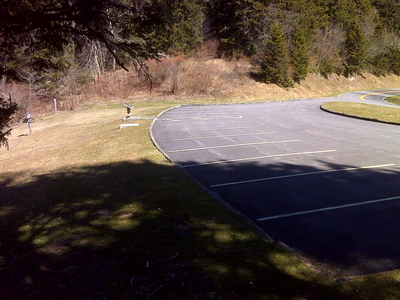
mm 1.7 Parking at Indian Gap. The trail is very close to Clingmans Dome Road here. It also intersects the Road Prong Trail here. GPS N35.6092 W83.4417
Submitted by pjwetzel @ gmail.com
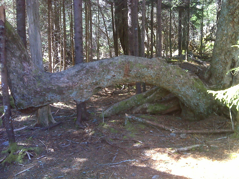
Bucking Horse Tree. GPS N35.6068 83.4499
Submitted by pjwetzel @ gmail.com
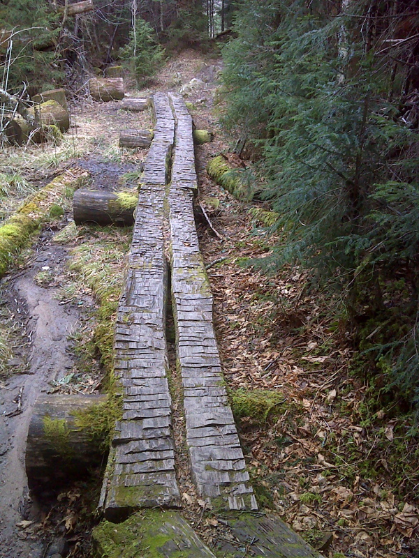
Bog Bridges through a marshy area west (trail south) of Newfound Gap. GPS N35.5993 W 83.4628
Submitted by pjwetzel @ gmail.com
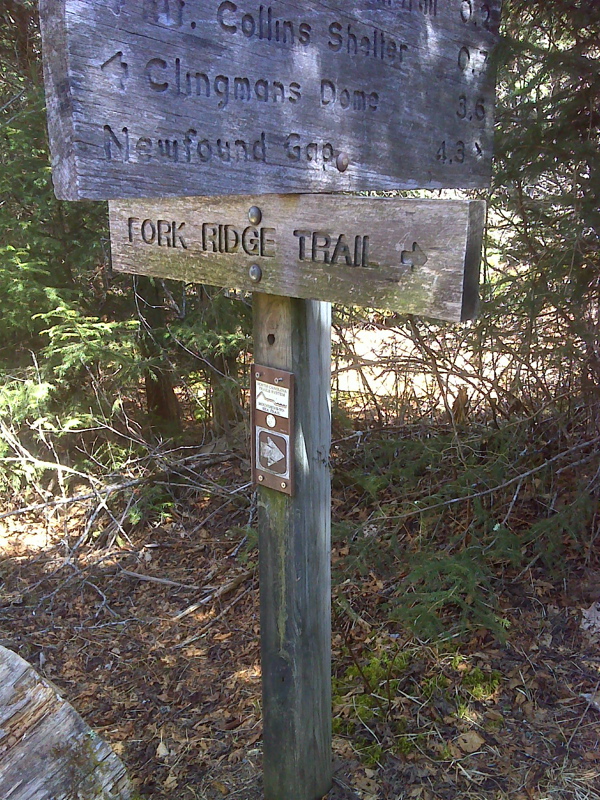
mm 4.1 Trail sign at intersection with Fork Ridge Trail. From Clingmans Dome to this point the AT and the Mountains to the Sea Trail coincide. At this intersection the latter trail, which will eventually traverse the length of North Carolina. turns onto the Fork Ridge Trail. It is only a short distance along this trail to Clingmans Dome Road. GPS N35.5908 83.4695
Submitted by pjwetzel @ gmail.com
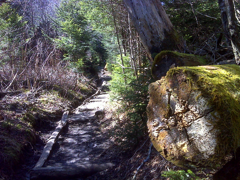
Trail on the east (trail north side) of Mt. Collins In this section there are a number of cut logs with the AT symbol carved into the trunks. This is probably the best. GPS N35.5907 W83.4698
Submitted by pjwetzel @ gmail.com
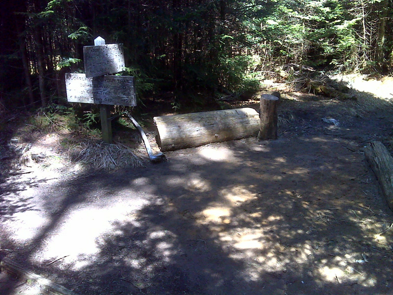
mm 4.5 Junction with the Sugarland Muntain Trail. Mt. Collins Shelter is 0.5 miles down this trail. GPS N35.5907 W83.4742
Submitted by pjwetzel @ gmail.com