TN/NC Section 18 Pictures - Milemarker 4.5 - 7.9
Mt. Collins Shelter - Clingmans Dome
Move your mouse across the pictures for more information.
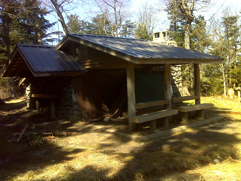
mm 4.5 Mt. Collins Shelter GPS N35.5940 W83.4720
Submitted by pjwetzel @ gmail.com

Only vista from Mt. Collins. Taken at approx. mm 5.0. GPS N35.5864 W 83.4727.
Submitted by pjwetzel @ gmail.com
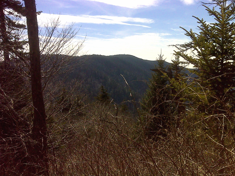
Clingmans Dome from slopes of Mt Collins. GPS N35.5819 W 83.4791
Submitted by pjwetzel @ gmail.com
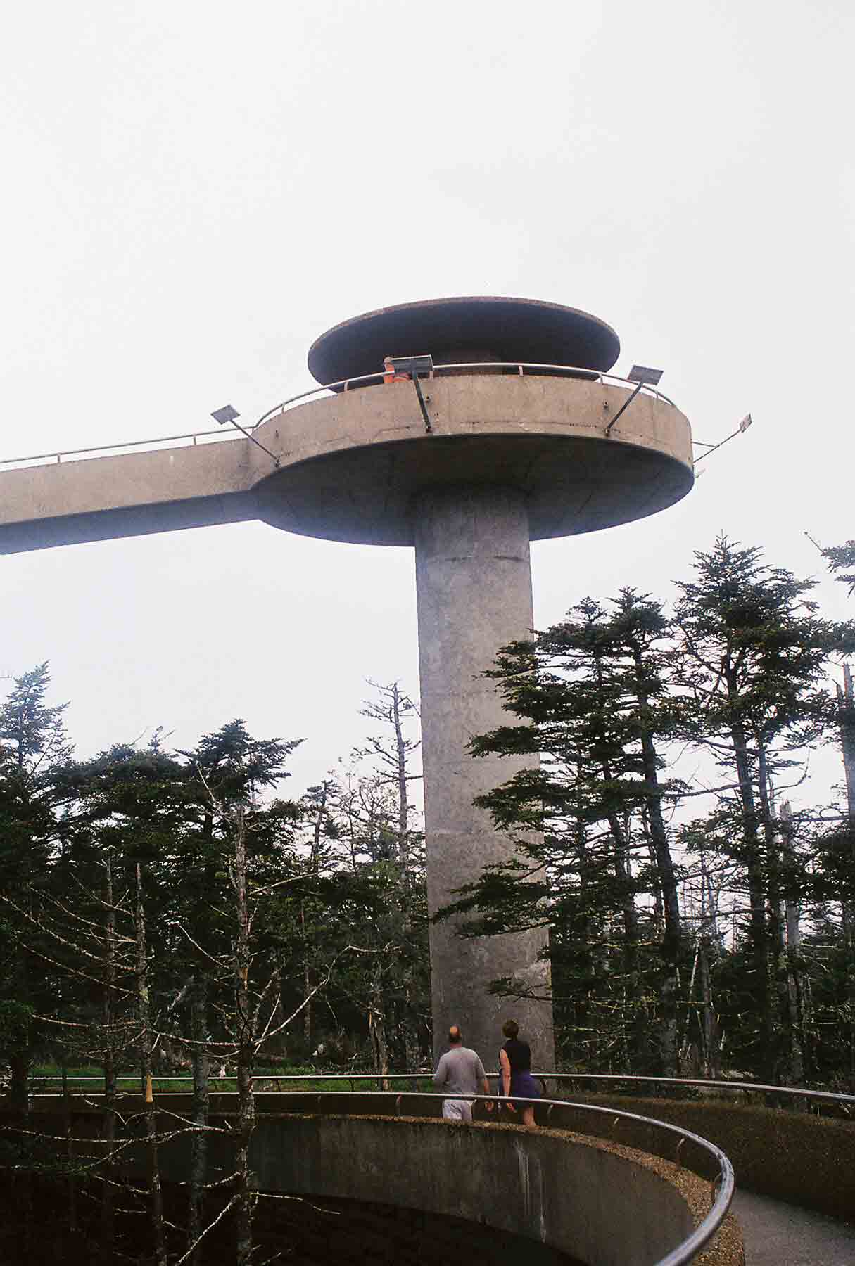
mm 7.9 - Observation tower on Clingmans Dome. The trail passes just to west of it. At this point, the trail reaches its highest elevation along the whole 2180+ mile route.
Submitted by dlcul @ conncoll.edu
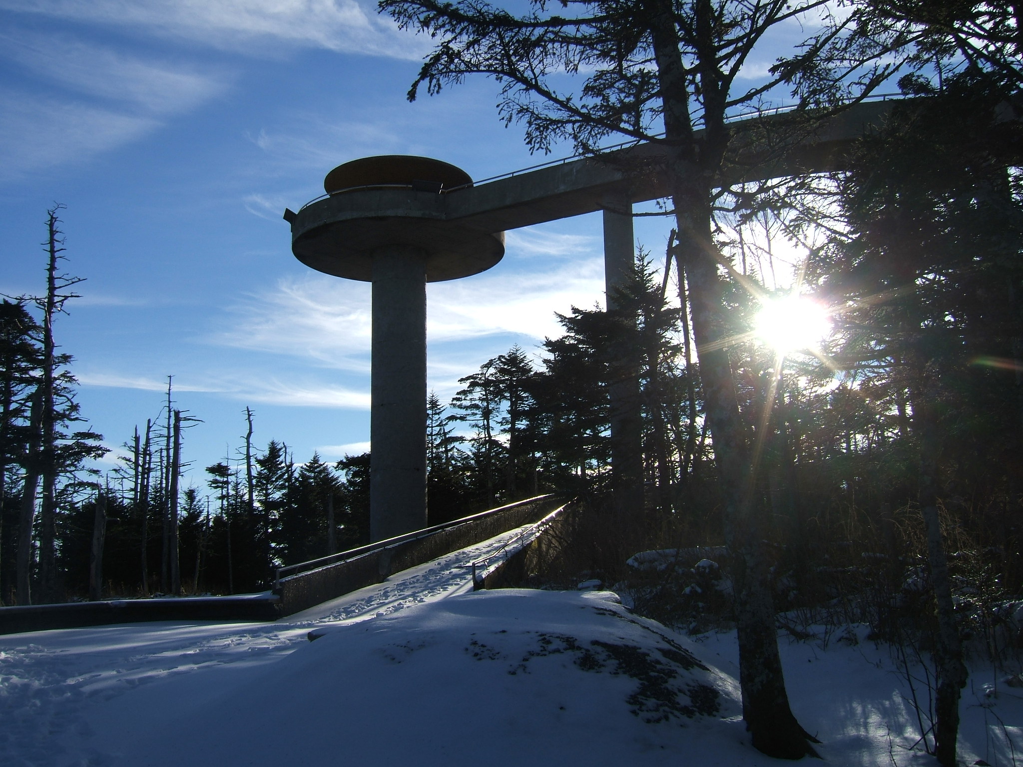
mm 7.9 - Clingman's Dome at sunrise.
Submitted by mwholmesjr @ hotmail.com

mm 7.9 View to north from Clingmans Dome observation tower. GPS N35.3629 W83.4984
Submitted by pjwetzel @ gmail.com

mm 7.9 View to east from Clingmans Dome observation tower. GPS N35.3629 W83.4984
Submitted by pjwetzel @ gmail.com
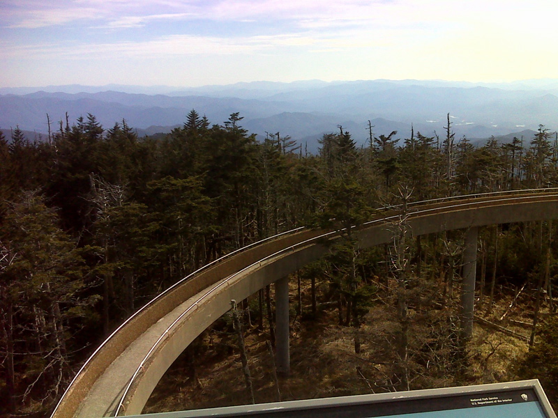
mm 7.9 View to south from Clingmans Dome observation tower. GPS N35.3629 W83.4984
Submitted by pjwetzel @ gmail.com