TN/NC Section 18 Pictures - Milemarker 7.9 - 12.1
Clingmans Dome - Welch Ridge Trail
Move your mouse across the pictures for more information.
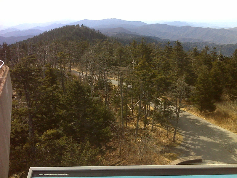
mm 7.9 View to west from Clingmans Dome observation tower. GPS N35.3629 W83.4984
Submitted by pjwetzel @ gmail.com
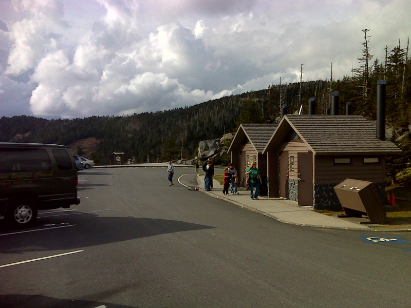
mm 7.9 Parking lot for Clingmans Dome. From here a paved path may be followed to the observation tower at the summit. The Clingmans Dome Bypass meets the AT at mile 8.3. GPS for parking lot N35.5563 W83.4957
Submitted by pjwetzel @ gmail.com
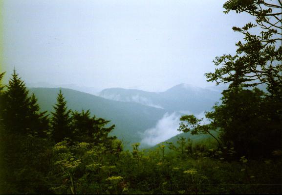
mm 8.4 - view from Mt. Buckley
Submitted by ghoul00 @ yahoo.com
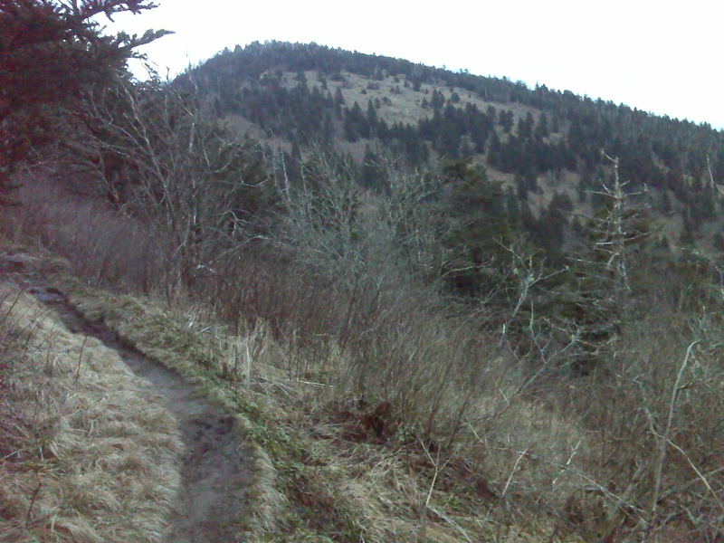
Mt. Buckley from the west (trail south). GPS 35.5625 W83.5157
Submitted by pjwetzel @ gmail.com
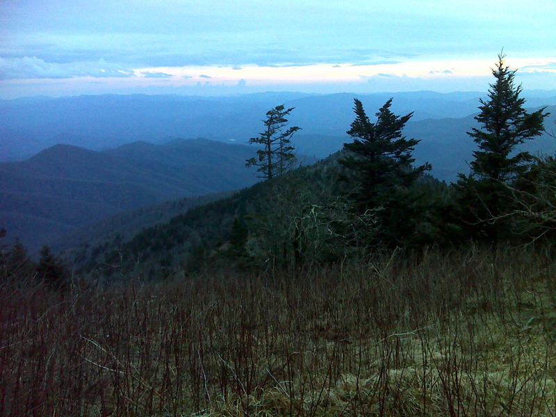
View SW from slopes of Mt. Buckley. GPS 35.5623 W83.5168
Submitted by pjwetzel @ gmail.com
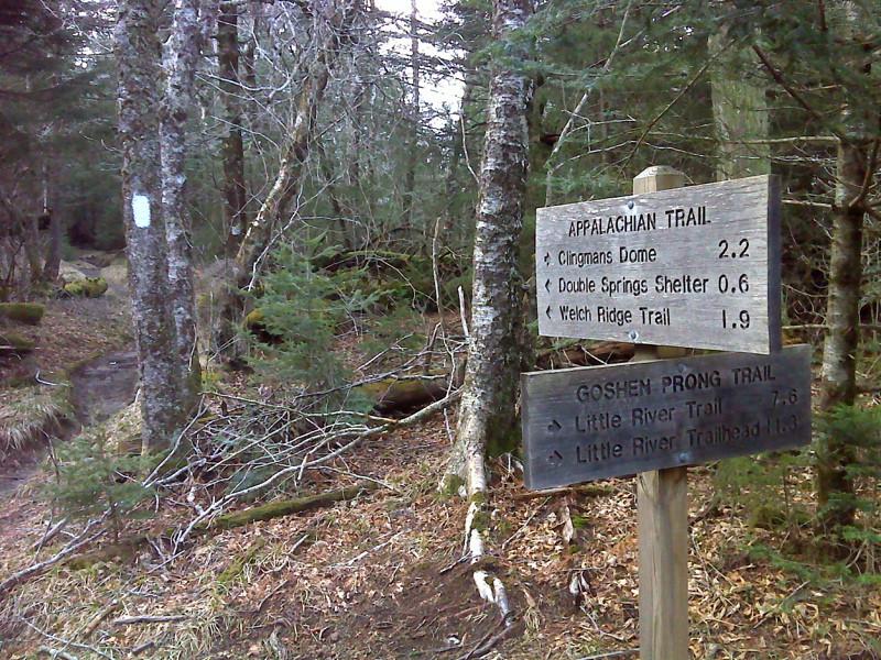
mm 10.2 Junction with Goshen Prong Trail. GPS 35.5647 W83.5338
Submitted by pjwetzel @ gmail.com
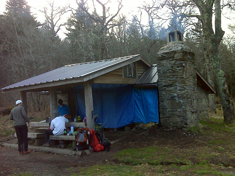
mm 10.8 Double Springs Shelter. GPS 35.5652 W83.5425
Submitted by pjwetzel @ gmail.com
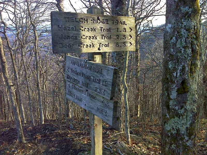
mm 12.1 Junction with the Welch Ridge Trail. GPS 35.5656 W83.5635
Submitted by pjwetzel @ gmail.com