TN/NC Section 18 Pictures - Milemarker 12.3 - 22.5
Silers Bald - Thunderhead Mountain
Move your mouse across the pictures for more information.
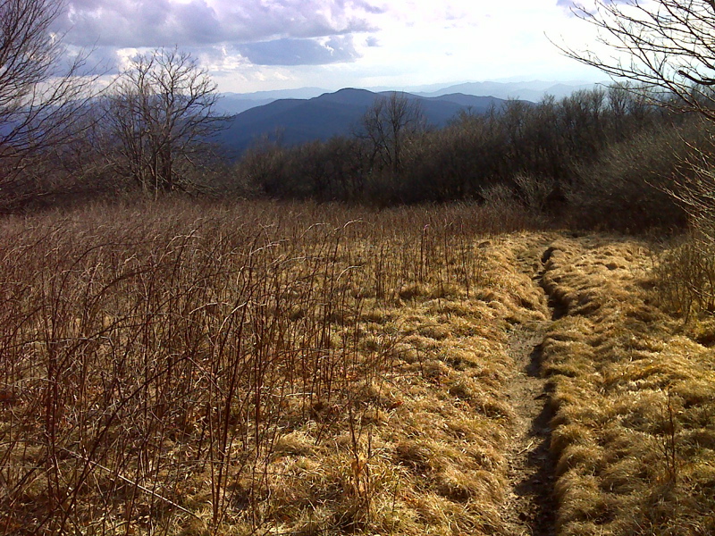
mm 12.3 View from the summit of Silers Bald. Only a small open area remains. GPS 35.5647 W83.5663
Submitted by pjwetzel @ gmail.com
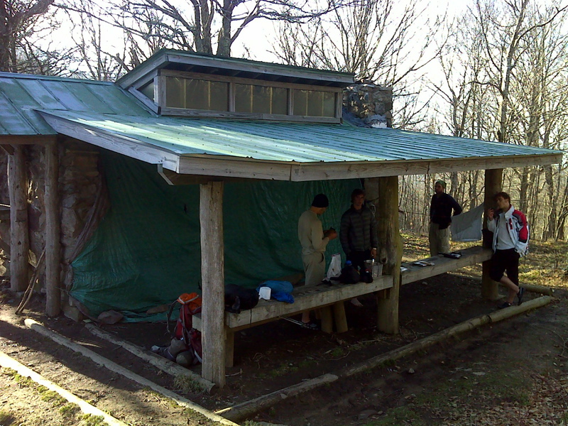
mm 12.5 Silers Bald Shelter GPS 35.5643 W83.5682
Submitted by pjwetzel @ gmail.com
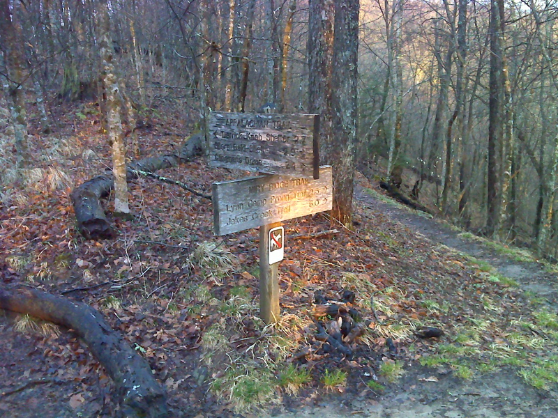
mm 15.4 Miry Ridge Trail cutoff just north of pointless ascent of Cold Spring Knob. GPS N37.5793 W83.6037
Submitted by pjwetzel @ gmail.com
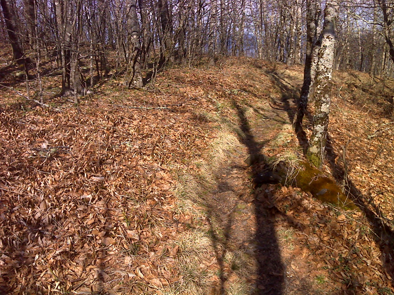
mm 16.0 Meaningless summit of Coldspring Mt. GPS N37.5800 W83.6084
Submitted by pjwetzel @ gmail.com
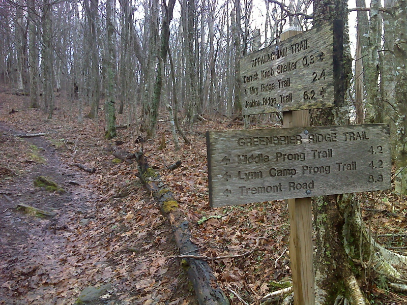
mm 17.8 Sams Gap, jct with Greenbrier Ridge Trail. GPS N37.5677 W83.6367
Submitted by pjwetzel @ gmail.com
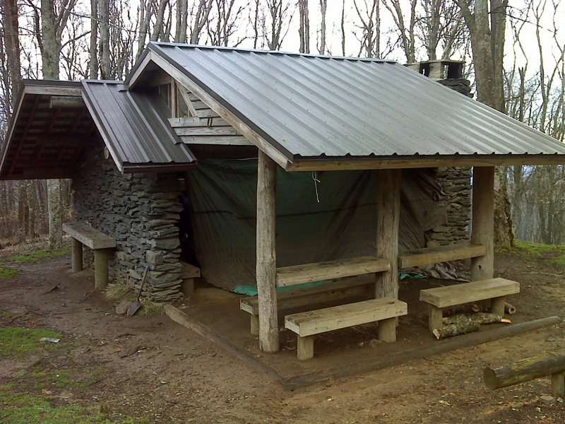
mm 18.0 Derrick Knob Shelter. GPS N37.5655 W83.6418
Submitted by pjwetzel @ gmail.com
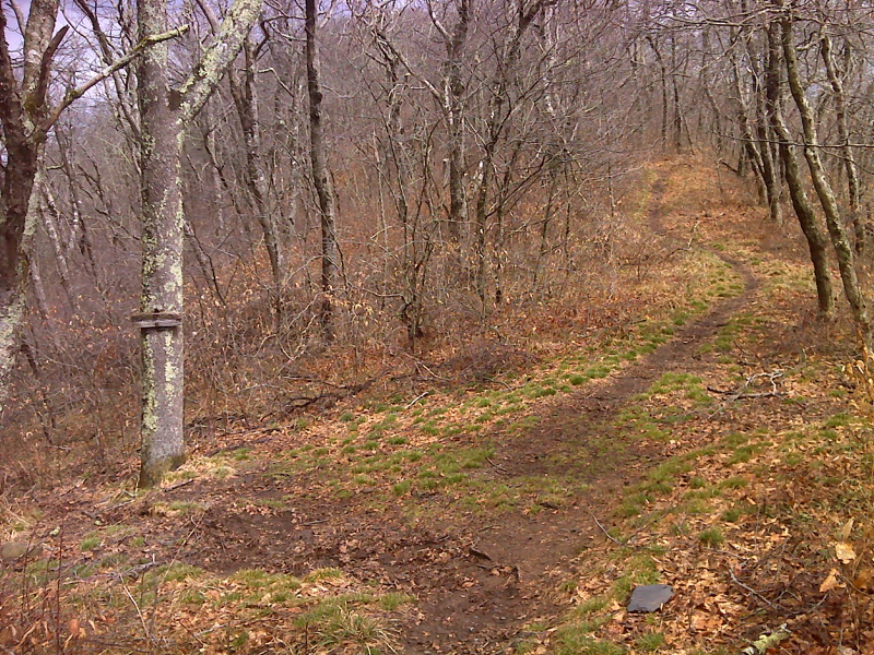
mm 22.2 Side trail to abundant spring, base of Thunderhead Mtn, north side. GPS N37.5691 W83.6978
Submitted by pjwetzel @ gmail.com
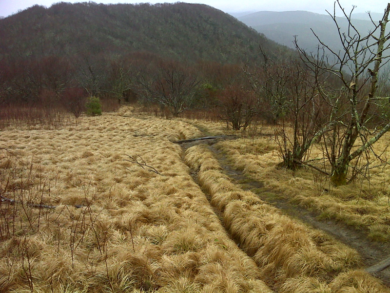
mm 22.5 Rocky Top viewed from Thunderhead Mountain. GPS N37.5685 W83.7070
Submitted by pjwetzel @ gmail.com