TN/NC Section 18 Pictures - Milemarker 22.5 - 24.3
Thunderhead Mt summit - Bote Mountain Trail
Move your mouse across the pictures for more information.
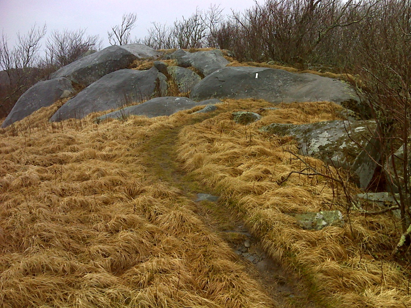
Rocks along ridge south of Thunderhead Mt summit. GPS N37.5666 W83.7098
Submitted by pjwetzel @ gmail.com
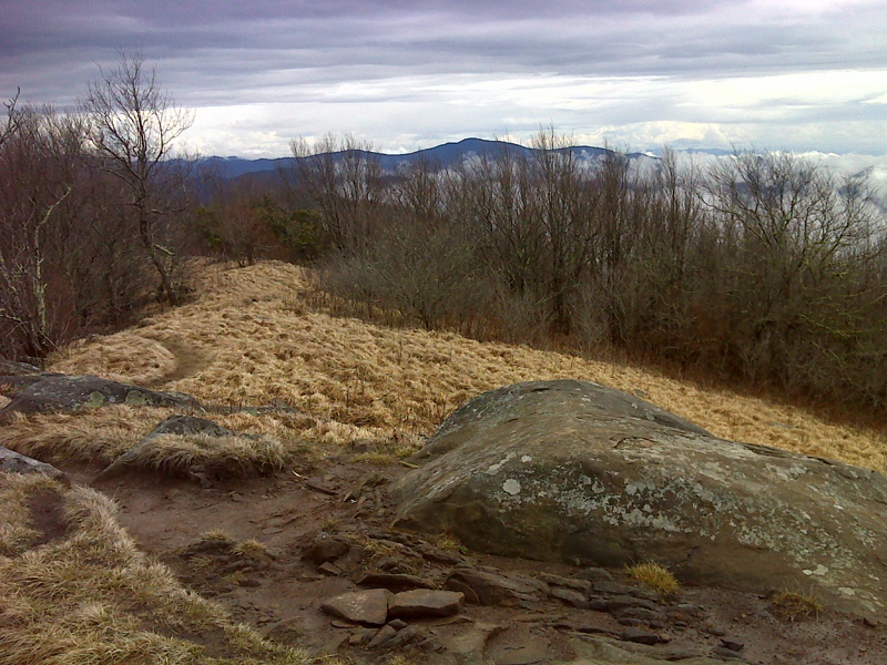
mm 23.1 View NE from Rocky Top GPS N37.5665 W83.7100
Submitted by pjwetzel @ gmail.com
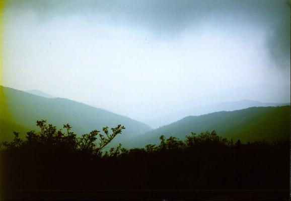
mm 23.1 - Rockytop
Submitted by ghoul00 @ yahoo.com
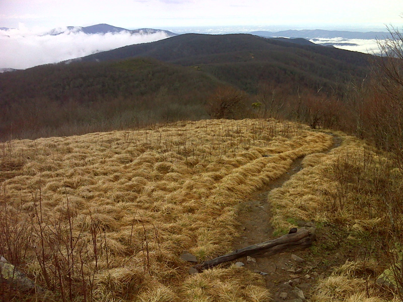
Spence Field as seen from near summit of Rocky Top. GPS N35.5639 W83.7147
Submitted by pjwetzel @ gmail.com
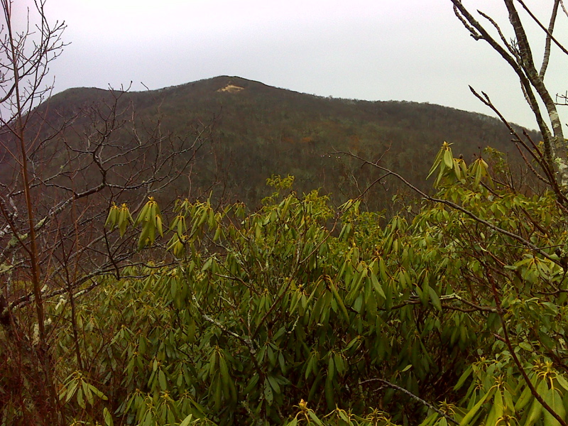
Rocky Top viewed from south. GPS N35.5624 W83.7224
Submitted by pjwetzel @ gmail.com
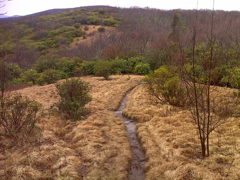
Garden-like walk. Rocky Top slopes looking S to Spence Field area.GPS N35.5624 W83.7250
Submitted by pjwetzel @ gmail.com
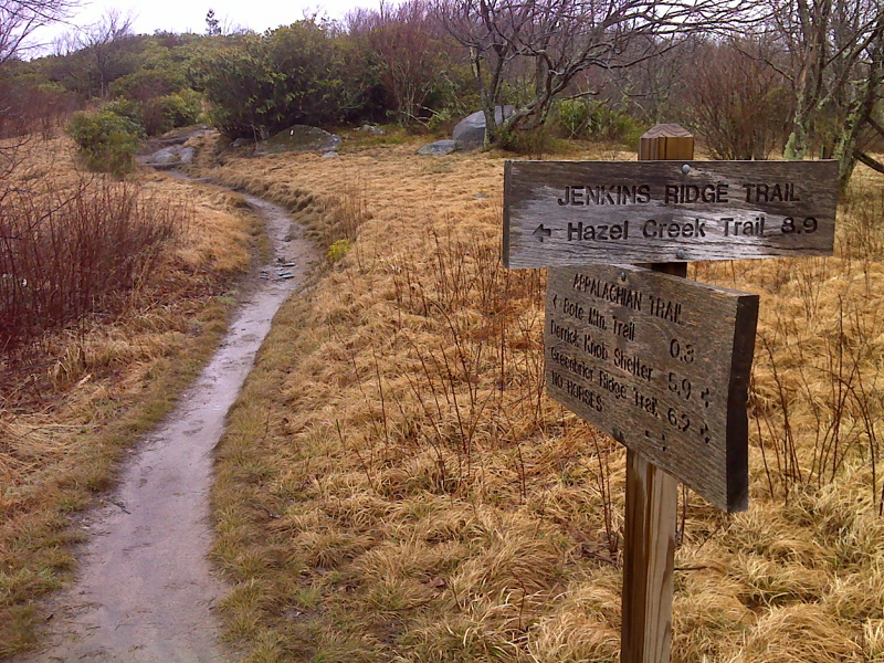
mm 23.9 Junction with the Jenkins Ridge Trail. GPS N35.5627 W83.7258
Submitted by pjwetzel @ gmail.com
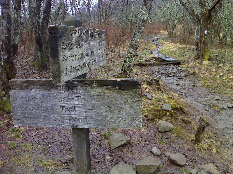
mm 24.3 Junction with the Bote Mountain Trail. GPS N35.5642 W83.7305
Submitted by pjwetzel @ gmail.com