TN/NC Section 18 Pictures - Milemarker 24.4 - 27.2
Eagle Creek Trail - Russell Field Shelter
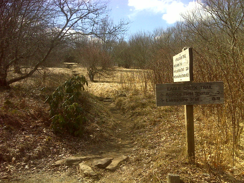
mm 24.4 Junction with the Eagle Creek Trail. Spence Field Shelter is 250 yards down this trail. GPS N35.5639 W83.7315
Submitted by pjwetzel @ gmail.com
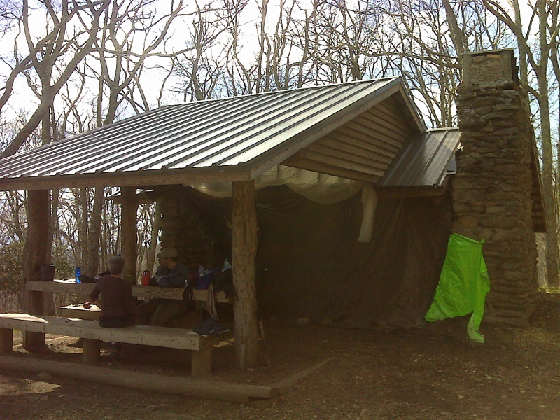
mm 24.4 Spence Field Shelter. GPS N35.5619 W83.7326
Submitted by pjwetzel @ gmail.com
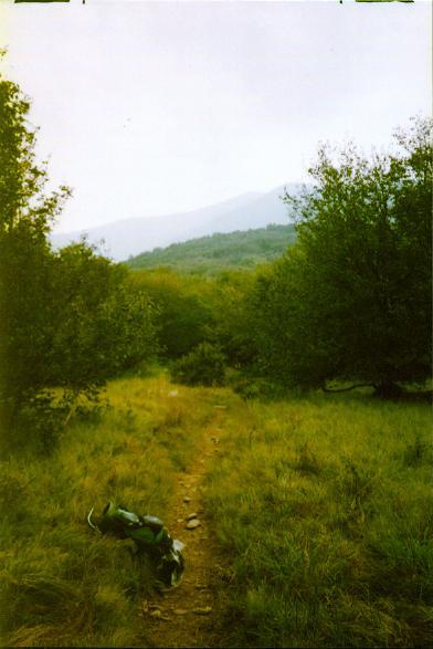
mm 24.4 - Spence Field
Submitted by ghoul00 @ yahoo.com
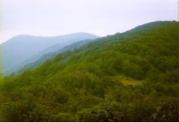
Submitted by ghoul00 @ yahoo.com
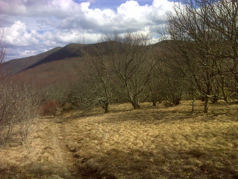
mm 24.4 Spence Field. GPS N35.5638 W83.7321
Submitted by pjwetzel @ gmail.com
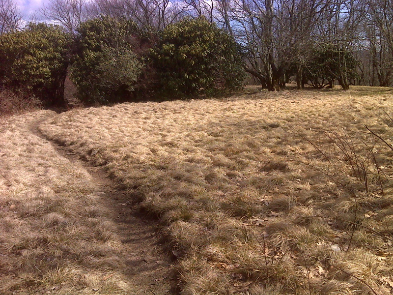
mm 24.4 Northbound AT reaches Spence Field. GPS N35.5638 W83.7327
Submitted by pjwetzel @ gmail.com
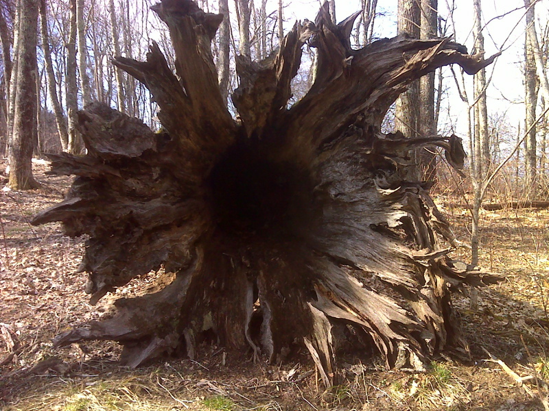
Huge root system of fallen tree. GPS N35.5634 W83.7525
Submitted by pjwetzel @ gmail.com
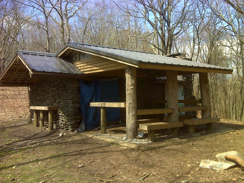
mm 27.2 Russell Field Shelter. GPS N35.5617 W83.7664
Submitted by pjwetzel @ gmail.com