TN/NC Section 18 Pictures - Milemarker 30.0 - 36.3
Mollies Ridge Shelter - Watchmans house
Move your mouse across the pictures for more information.
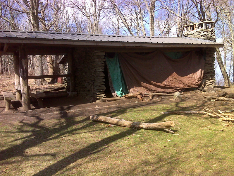
mm 30.0 Mollies Ridge Shelter. GPS N35.5459 W83.7935
Submitted by pjwetzel @ gmail.com
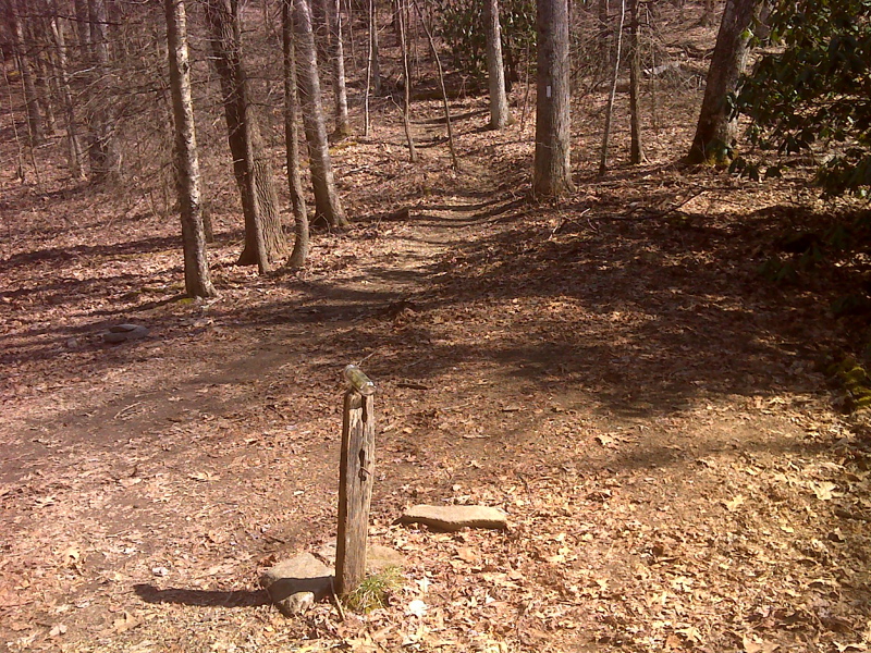
mm 31.4 Former sign at Ekaneetlee Gap. GPS N35.5388 W83.8055
Submitted by pjwetzel @ gmail.com

Teepee tree near Doe Knob. GPS N35.5283 W83.8179
Submitted by pjwetzel @ gmail.com
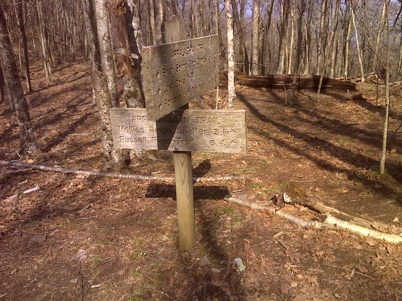
mm 32.8 Intersection with Gregory Bald Trail at summit of Doe Knob GPS N35.5256 W83.8215
Submitted by pjwetzel @ gmail.com
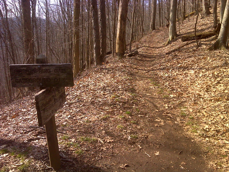
mm 35.1 Side Trail to Camp 113 in Birch Spring Gap. There was once a shelter here. GPS N35.5012 W83.8133
Submitted by pjwetzel @ gmail.com
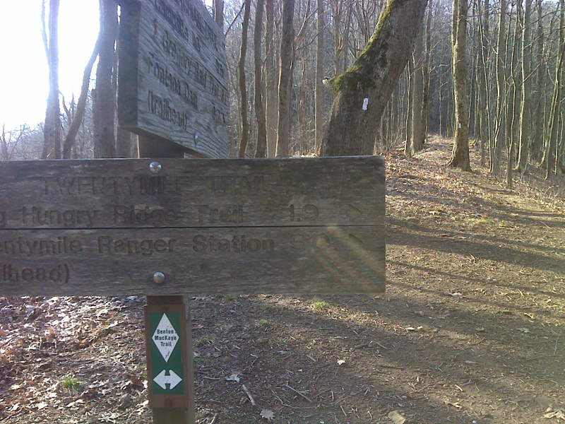
mm 36.0 Junction with the Twenty Mile Trail in Sassafras Gap. This trail is is now the part of the route of the Benton MacKaye Trail. GPS N35.4894 W83.8155
Submitted by pjwetzel @ gmail.com
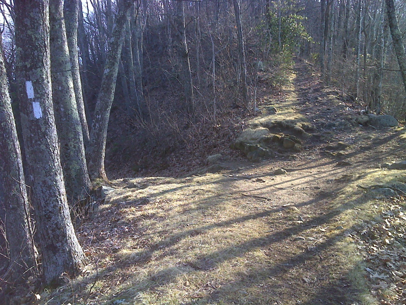
mm 36.3 Trail to Shuckstack fire tower, no signs. GPS N35.4851 W83.8165
Submitted by pjwetzel @ gmail.com
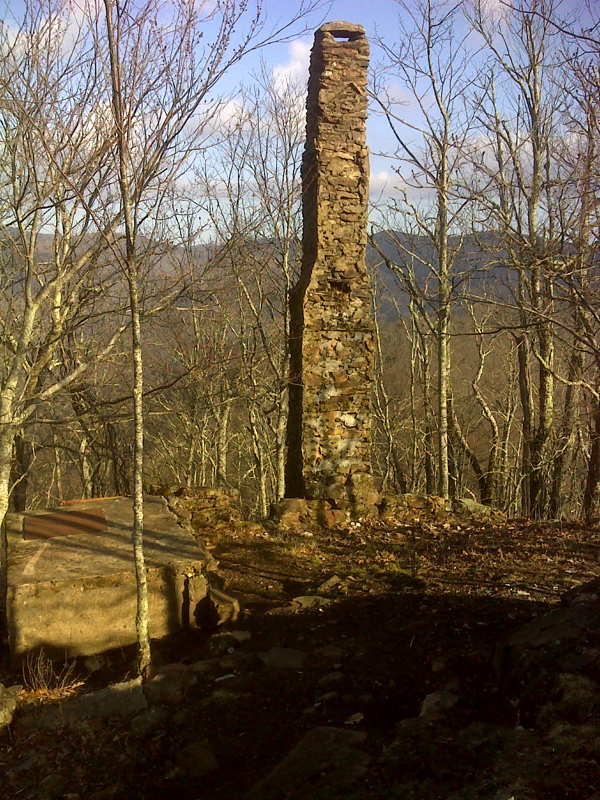
mm 36.3 Remnants of Watchman's house near Shuckstack Fire Tower. GPS N35.4855 W83.8151
Submitted by pjwetzel @ gmail.com