TN/NC Section 18 Pictures - Milemarker 36.3 - 40.3
Shuckstack Fire Tower - Watuga Dam
Move your mouse across the pictures for more information.
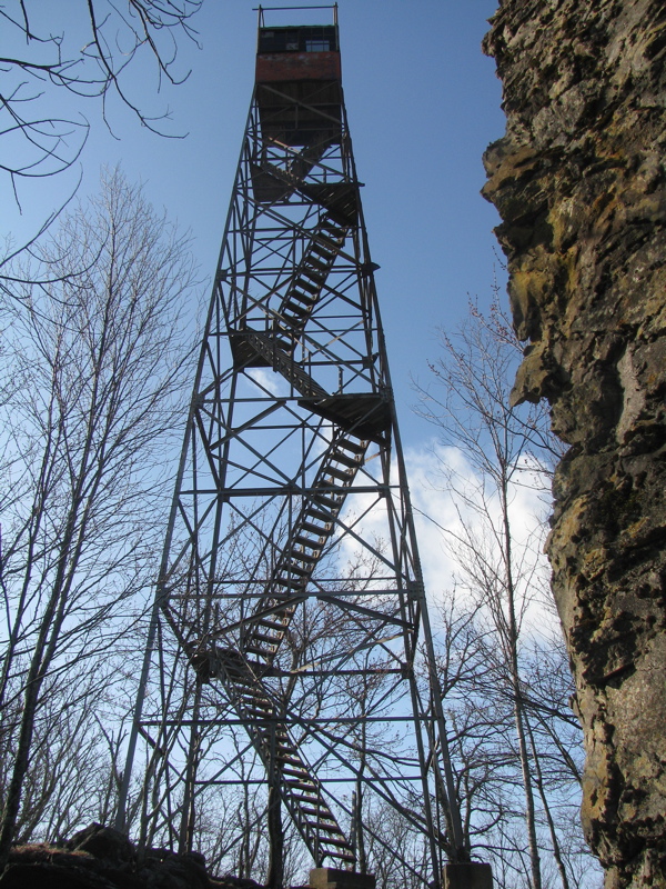
mm 36.3 Shuckstack Fire Tower. GPS N35.4855 W83.8151
Submitted by pjwetzel @ gmail.com
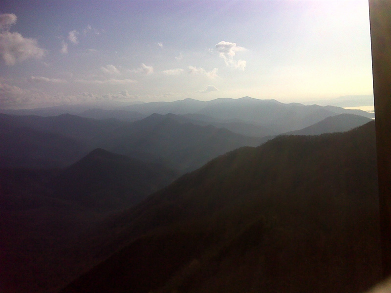
mm 36.3 View NE from Shuckstack Fire Tower. GPS N35.4855 W83.8151
Submitted by pjwetzel @ gmail.com
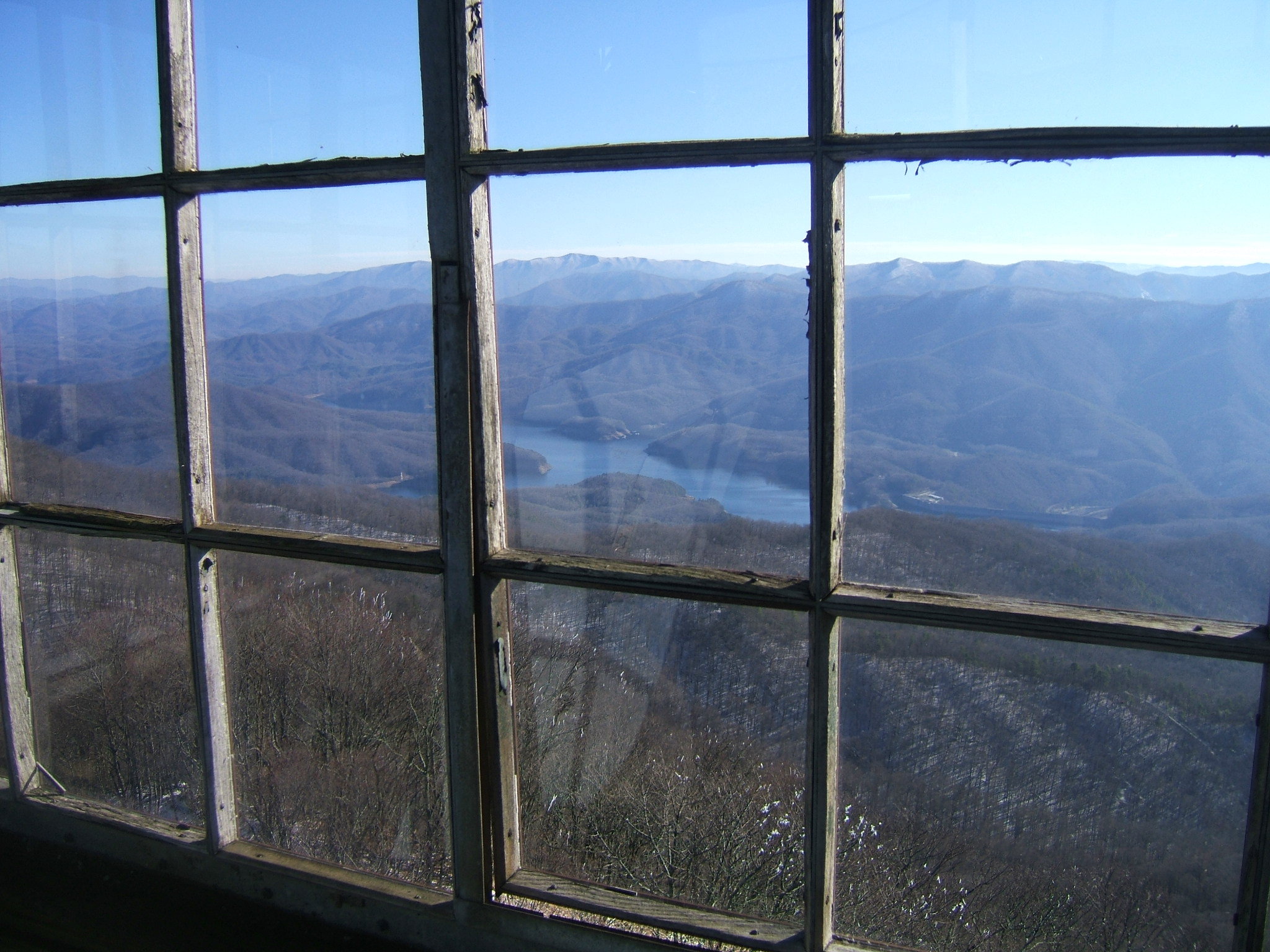
mm 35.2 - View from tower on Shuckstack Mountain. December 2006.
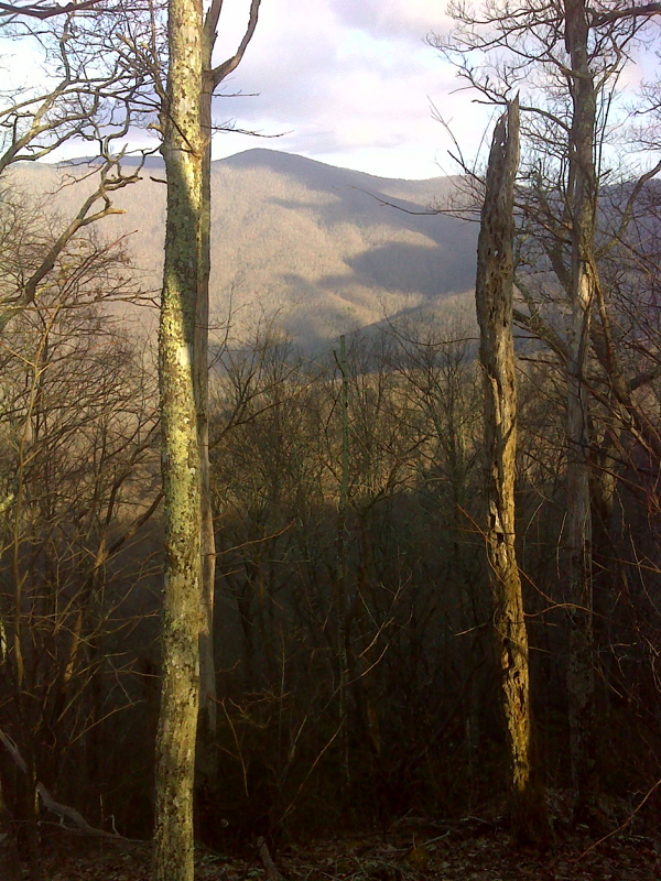
Limited view west where AT northbound first reaches Twentymile Ridge. GPS N35.4847 W83.8162
Submitted by pjwetzel @ gmail.com
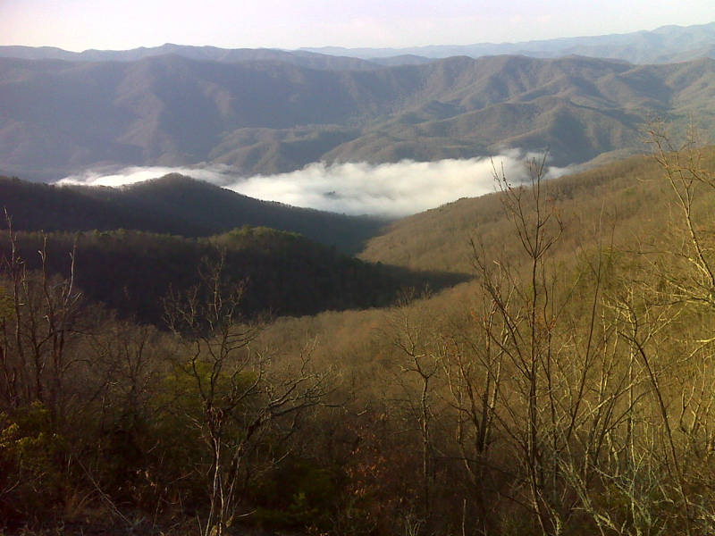
mm 36.5 View of river below Fontana Dam where AT is cut through a rock outcrop. GPS N35.4835 W83.8146
Submitted by pjwetzel @ gmail.com
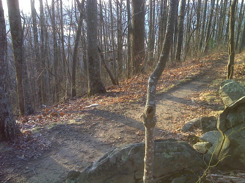
Rest stop with rock chair and limited winter view of Fontana Lake. GPS N35.4779 W83.8093
Submitted by pjwetzel @ gmail.com
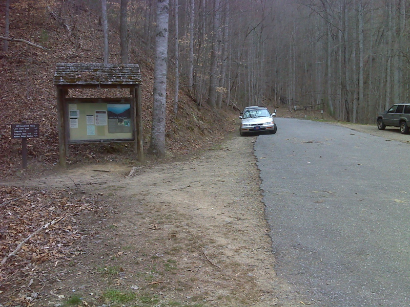
mm 39.7 Parking area and end of 1.5 mile roadwalk for northbound AT, Fontana lake. From here it is 32 miles before the northbound AT even comes close to a road. The next road crossing is in Newfound Gap 40 miles away. Southbound the trail follows the road towards Fontana Dam. GPS N35.4605 W83.8111x
Submitted by pjwetzel @ gmail.com
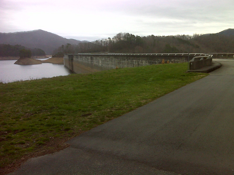
mm 40.3 The southbound AT approaches Fontana Dam. This is the official southern terminus of Section 40. The southbound trail continues across the dam into Section 19. GPS N35.4528 W 83.8084
Submitted by pjwetzel @ gmail.com