TN/NC Section 2 Pictures - Milemarker 0.0 - 4.3
Low Gap (US 421) - Campsite at Spring
Move your mouse across the pictures for more information.
mm 0.0 Northbound AT approaches US 421 in Low Gap. The smaller of the two parking areas in the gap is shown. The main lot is on the other side of the highway. See pictures for TN/NC Sec. 1.
Submitted by dlcul @ conncoll.edu
mm 0.1 Campsite on ridgecrest
Submitted by dlcul @ conncoll.edu

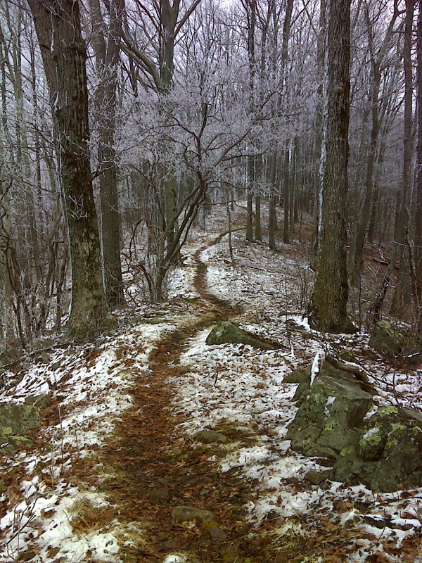
Rime Ice on trees south of Low Gap (US 421). The AT here is following the crest of a narrow ridge.
Submitted by pjwetzel @ gmail.com
mm 1.3 View to the east over open field
Submitted by dlcul @ conncoll.edu
mm 1.3 View towards Shady Valley from open field.
Submitted by dlcul @ conncoll.edu
mm 3.5 Double Springs Shelter
Submitted by dlcul @ conncoll.edu
Northbound AT approaches the crest of Cross Mountain, the highest point in this section. Taken at approx. mm 3.9.
Submitted by dlcul @ conncoll.edu
mm 4.3 Campsite near spring
Submitted by dlcul @ conncoll.edu