TN/NC Section 21 Pictures - Milemarker 8.3 - 12.0
Jump-up - Wright Gap
Move your mouse across the pictures for more information.
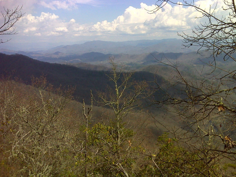
mm 8.3 View NE at second, upper viewpoint, the Jump-up. GPS N35.3395 W83.6368
Submitted by pjwetzel @ gmail.com
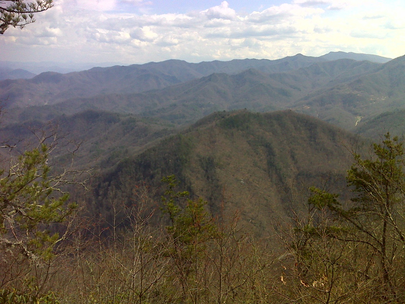
mm 8.3 View East where switchback section ends northbound and ridge-line Jump-up begins. GPS N35.3397 W83.6366
Submitted by pjwetzel @ gmail.com
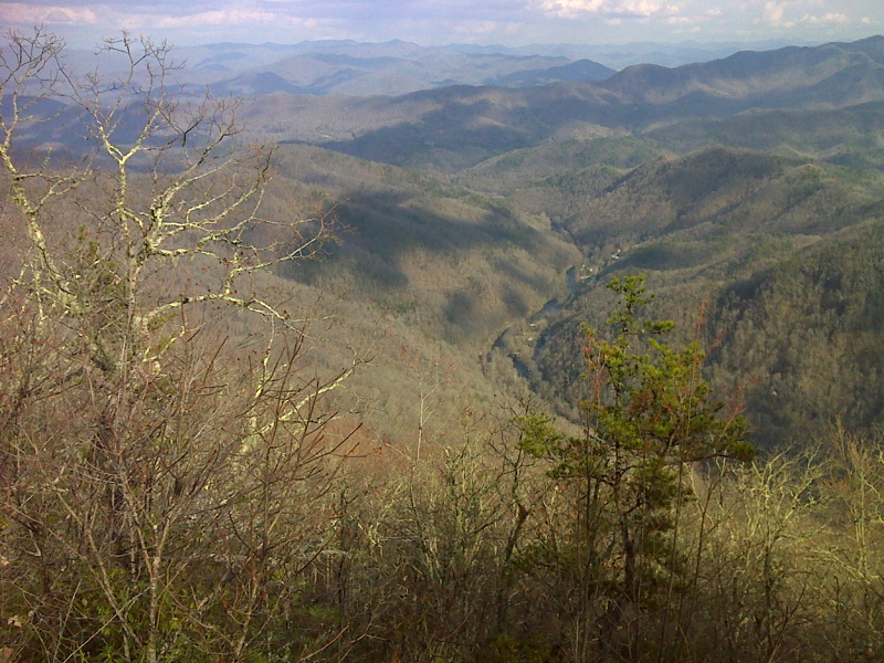
mm 8.3 Nantahala Gorge viewed from the Jump-Up. GPS N3.3397 W 83.6366
Submitted by pjwetzel @ gmail.com
view from rock outcrop near top of jump-off afer rain
Submitted by jparton @ hcsheriff.gov
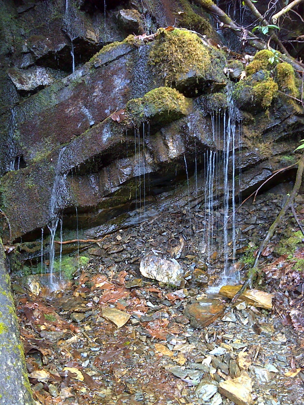
Excellent spring and cascade beside Trail, Switchback section of Jump-up. GPS N35.3405 W83.6389
Submitted by pjwetzel @ gmail.com
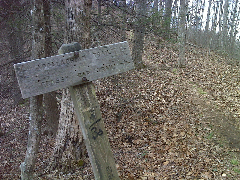
mm 10.5 Jct with Grassy Gap trail. GPS N35.3451 W83.6216
Submitted by pjwetzel @ gmail.com
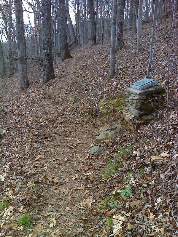
Wade Sutton firefighter memorial, below Grassy Gap. GPS N35.3451 W83.6216
Submitted by pjwetzel @ gmail.com
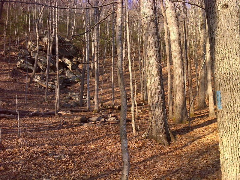
mm 10.9 Campsite in sag with side trail to spring. GPS N35.3457 W83.6155
Submitted by pjwetzel @ gmail.com
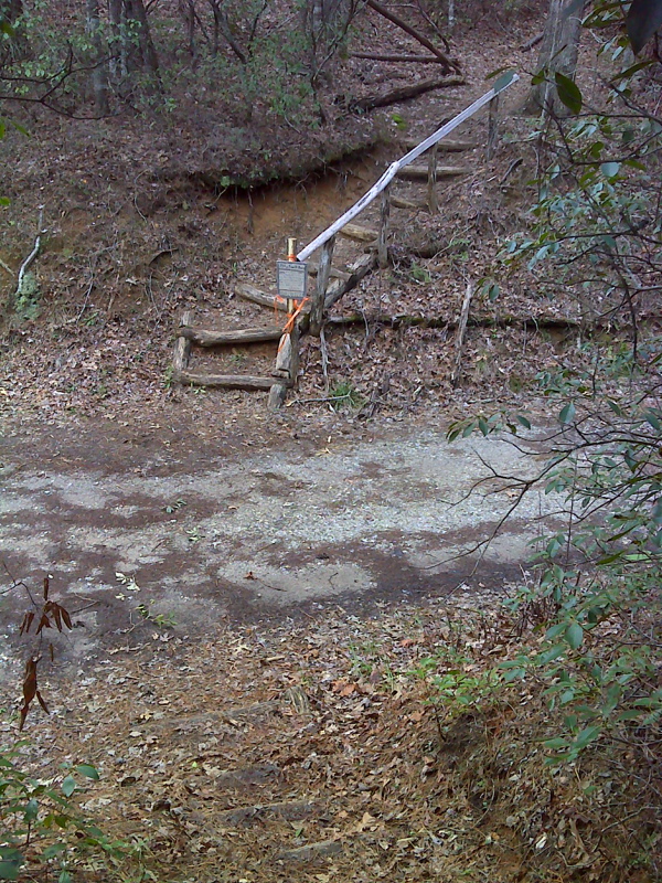
mm 12.0 AT crossing at Wright Gap - public road, parking on shoulder nearby.. GPS N35.3405 W83.6051
Submitted by pjwetzel @ gmail.com