TN/NC Section 21 Pictures - Milemarker 12.3 - 13.6
Powerline - Nantahala River
Move your mouse across the pictures for more information.
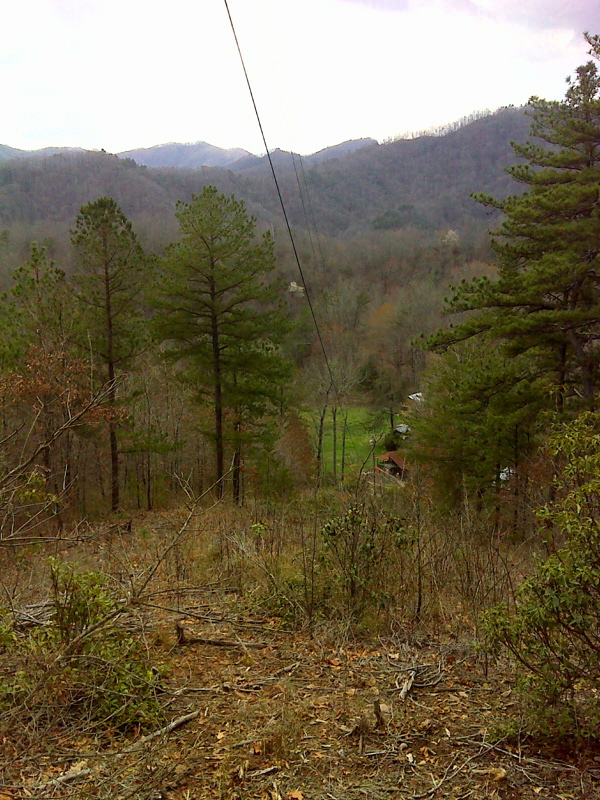
mm 12.3 Limited view from power line clearing. GPS N35.3401 W83.6036
Submitted by pjwetzel @ gmail.com
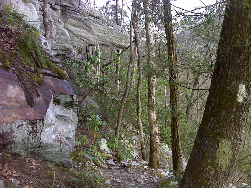
Howitzer Rock just north of NOC - Wesser. GPS N35.3337 W83.5956
Submitted by pjwetzel @ gmail.com
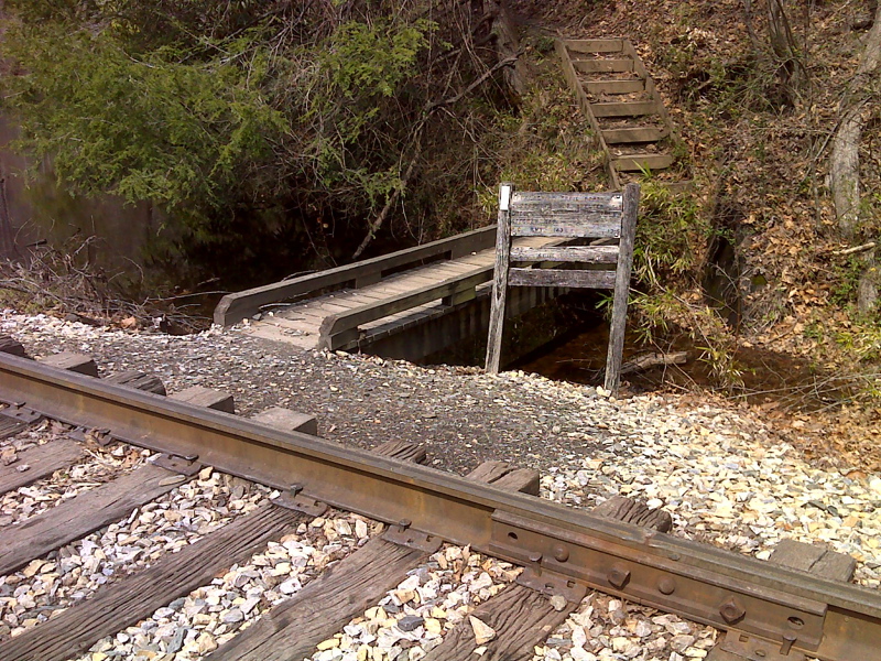
mm 13.5 Northbound trail crosses railroad track and re-enters woods and leaves the NOC complex. GPS N35.3325 W83.5925
Submitted by pjwetzel @ gmail.com
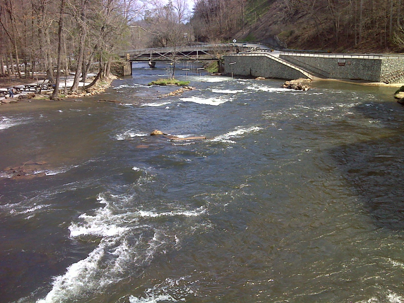
mm 13.6 Nantahala River from footbridge near Nantahala Outdoor Center. GPS N35.3313 W83.5921
Submitted by pjwetzel @ gmail.com
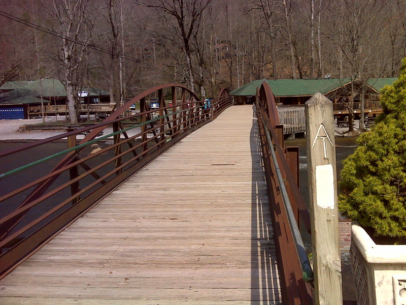
mm 13.6 Nantahala River footbridge. GPS N35.3312 W83.5921
Submitted by pjwetzel @ gmail.com
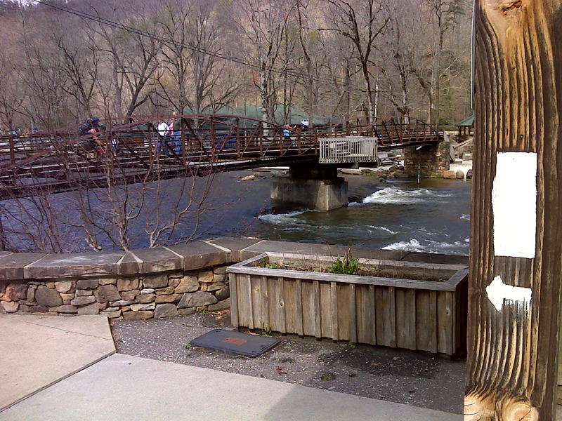
mm 13.6 AT northbound turns left at Outfitter, then right across footbridge. GPS N35.3312 W83.5920
Submitted by pjwetzel @ gmail.com