TN/NC Section 23 Pictures - Milemarker 0.0 - 4.8
Tellico Gap - Burningtown Gap
Move your mouse across the pictures for more information.
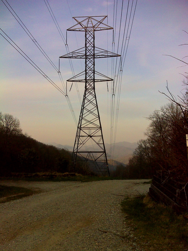
mm 0.0 Sunrise at Tellico Gap. Some of the parking areas available can be seen on either side of the road. GPS N35.2681 W83.5724
Submitted by pjwetzel @ gmail.com
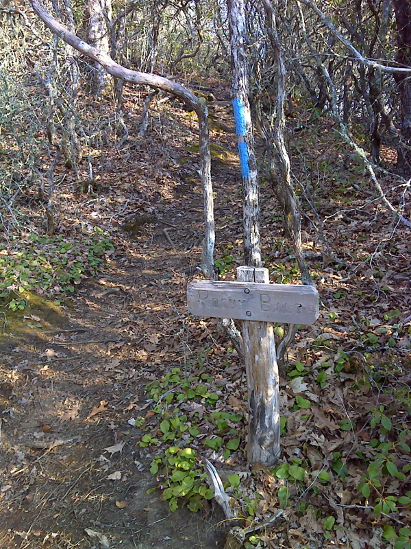
mm 1.7 Side Trail to summit of Rocky Bald. GPS N35.2506 W83.5664
Submitted by pjwetzel @ gmail.com
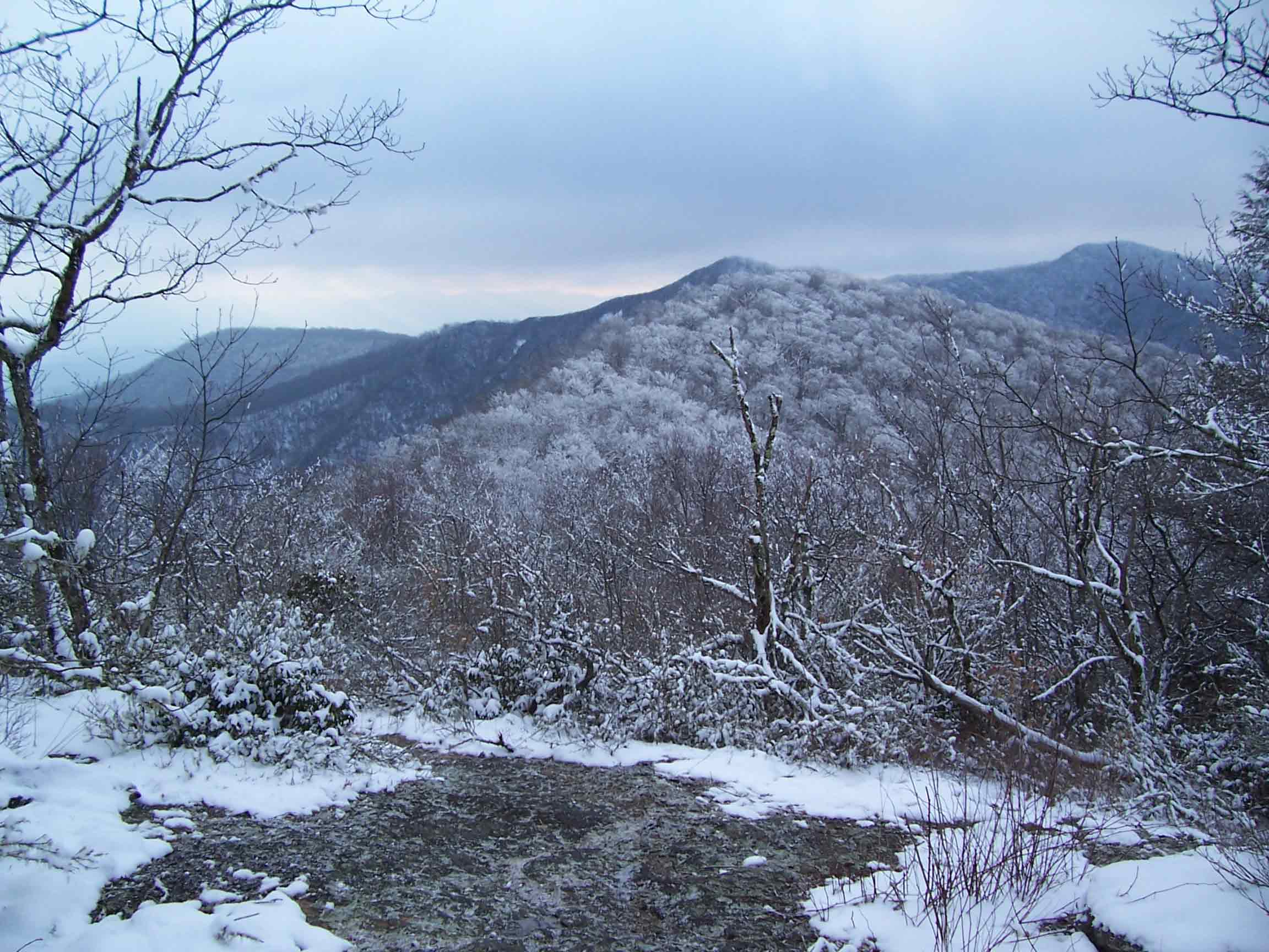
mm 1.7 - Copper Ridge Bald Taken from Rocky Bald mar 06.
Submitted by willey54 @ yahoo.com
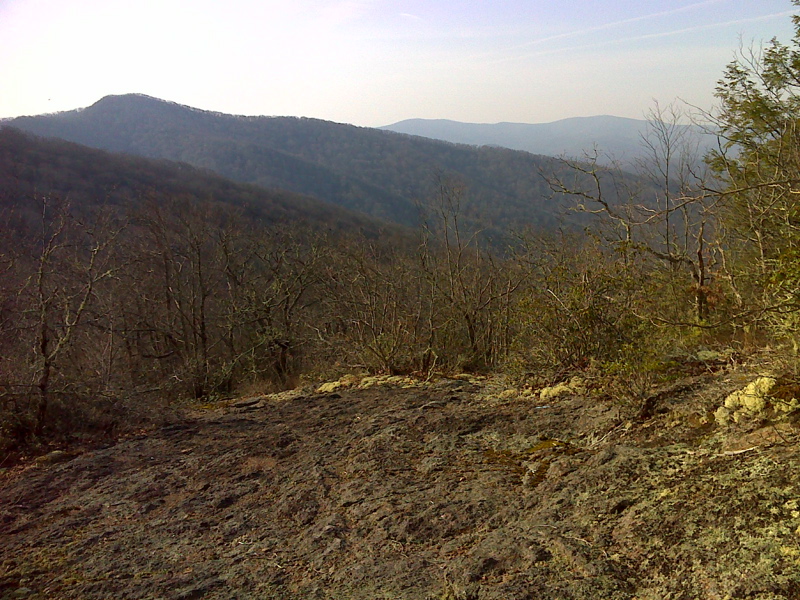
mm 1.7 Copper Ridge and Wayah Balds from Rocky Bald. GPS N35.2510 W83.5667
Submitted by pjwetzel @ gmail.com
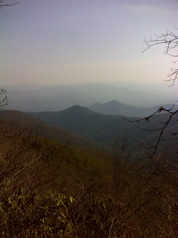
mm 2.9 Only vista on Copper Ridge Bald, from rock outcrop north of summit. GPS N35.2380 W83.5594
Submitted by pjwetzel @ gmail.com
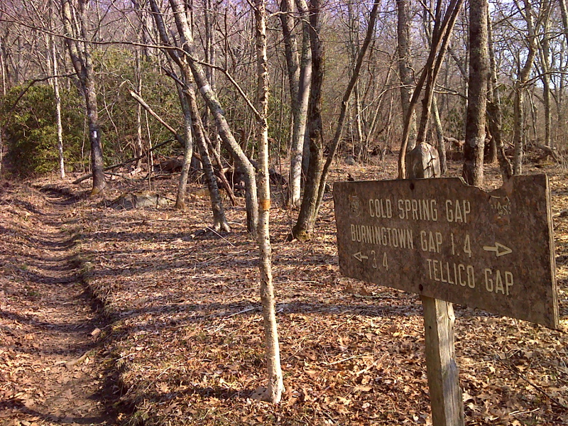
Cold Spring Gap GPS N32.2335 W83.5578
Submitted by pjwetzel @ gmail.com
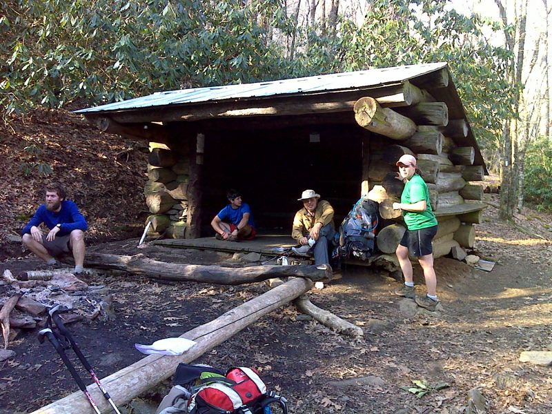
mm 3.6 Cold Spring Shelter, with abundant cold spring just out of shot at left. GPS N32.2312 W83.5599
Submitted by pjwetzel @ gmail.com
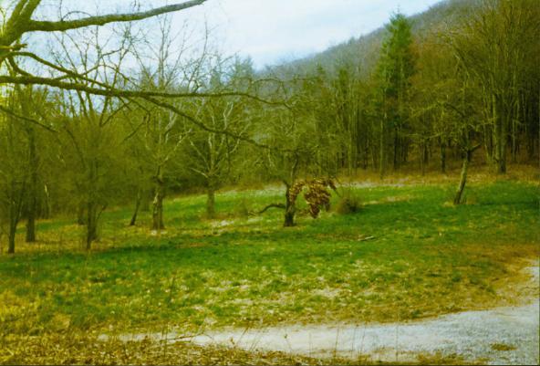
mm 4.8 Burningtown Gap. Note remnantsof apple orchard.
Submitted by ghoul00 @ yahoo.com