TN/NC Section 23 Pictures - Milemarker 4.8 - 9.3
Burningtown Gap - Wayah Bald
Move your mouse across the pictures for more information.
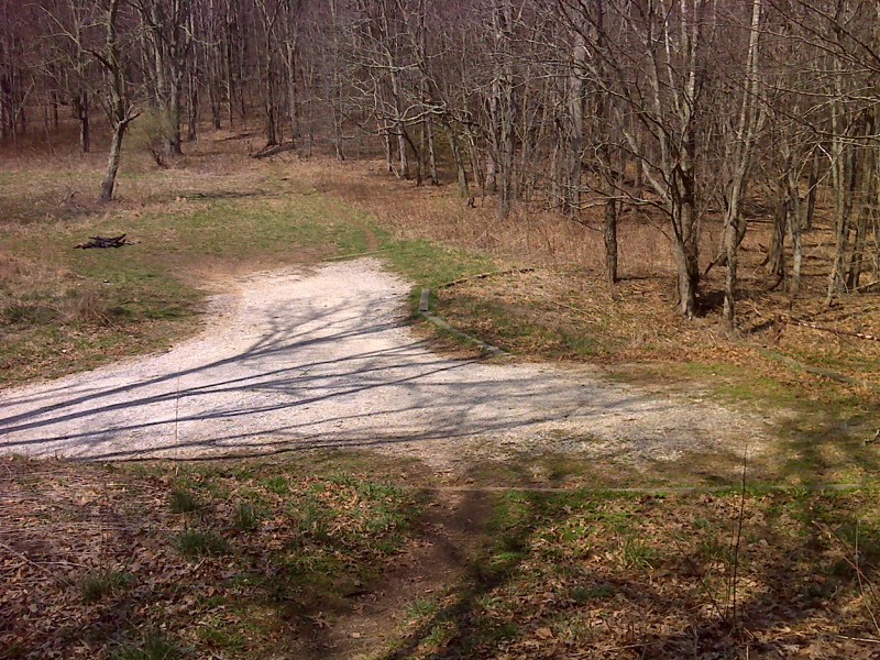
mm 4.8 Road (NC 1397) ends, good parking at Burningtown Gap.The name refers to the burning of a Cherokee village in 1776 in the valley east of here. GPS N35.2222 W83.5623
Submitted by pjwetzel @ gmail.com
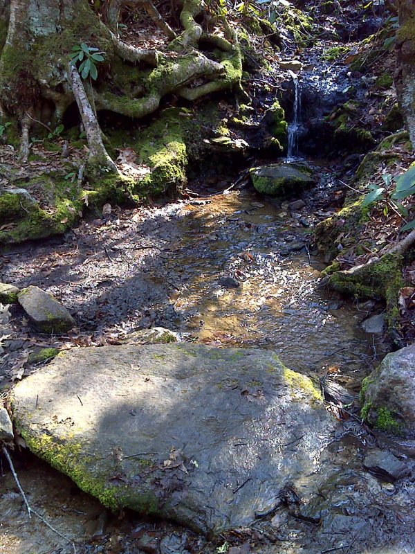
Pipe in stream at AT crossing. GPS N35.2184 W83.5627.
Submitted by pjwetzel @ gmail.com
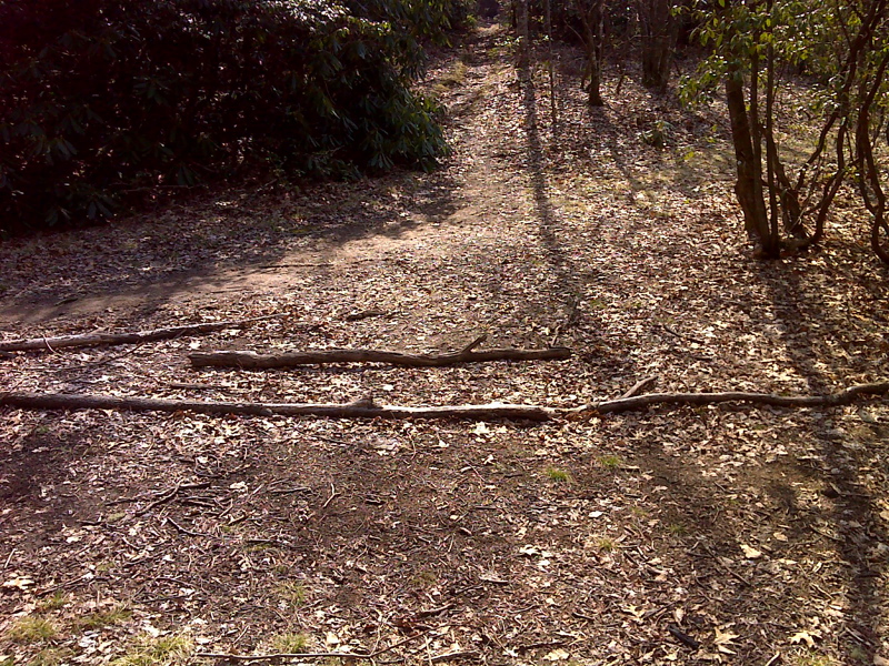
mm 5.6 Six way intersection in saddle south of Burningtown Gap. GPS N35.2172 W.83.5649
Submitted by pjwetzel @ gmail.com
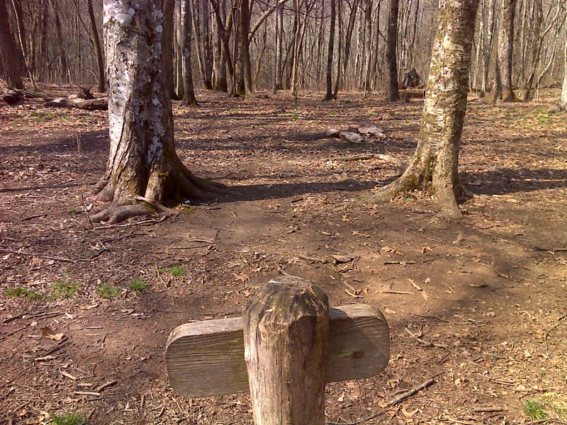
mm 7.1 Licklog Gap camping venue. GPS N35.2027 W.83.5678
Submitted by pjwetzel @ gmail.com
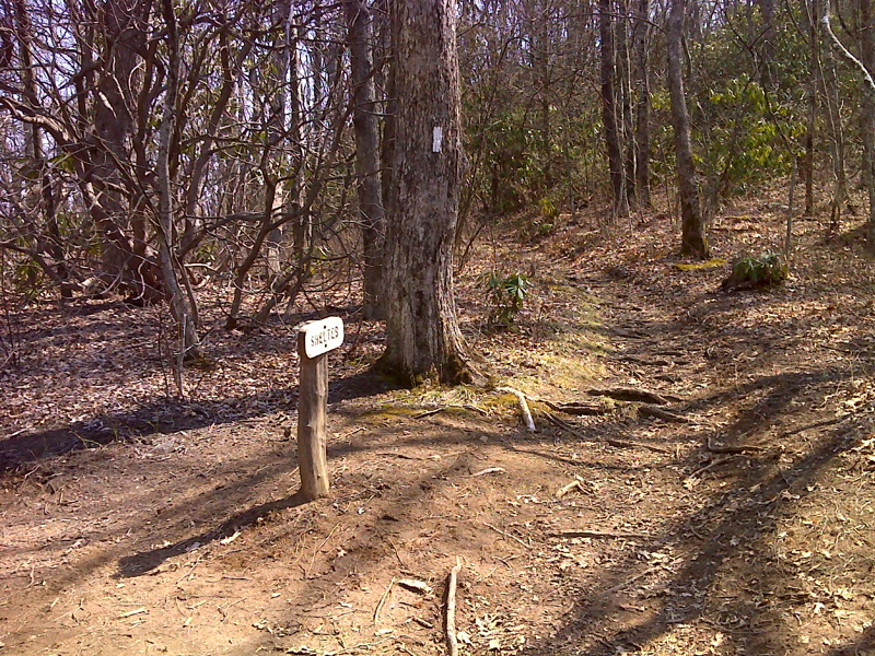
mm 8.4 Trail to Wayah Shelter. GPS N35.1875 W.83.5626
Submitted by pjwetzel @ gmail.com

mm 8.4 Wayah Shelter. GPS N35.1879 W.83.5621
Submitted by pjwetzel @ gmail.com
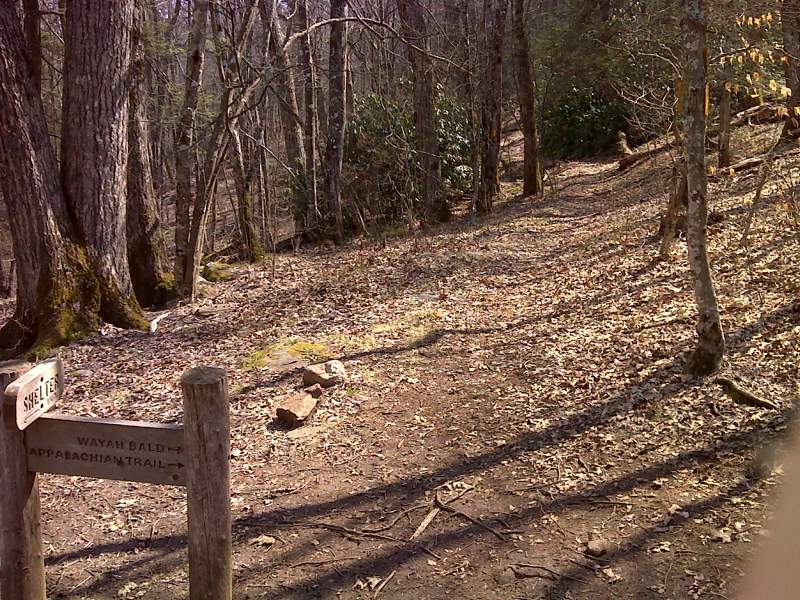
mm 8.8 AT junction with yellow-blazed Bartram Trail, both ascend Wayah Bald together. GPS N35.1846 W.83.5609
Submitted by pjwetzel @ gmail.com
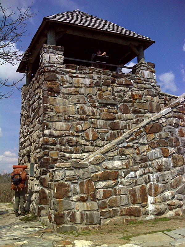
mm 9.3 Observation tower on Wayah Bald. GPS N35.1802 W.83.5607
Submitted by pjwetzel @ gmail.com