TN/NC Section 23 Pictures - Milemarker 11.7 - 13.5
Spring near USFS 69- Wayah Gap
Move your mouse across the pictures for more information.
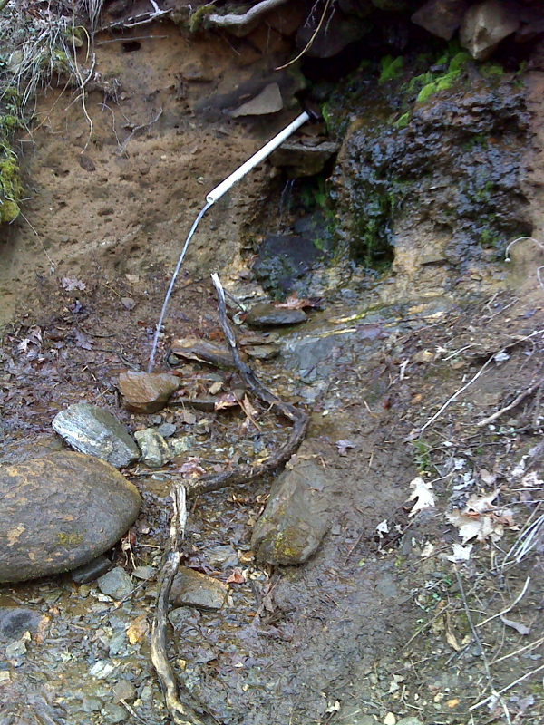
mm 11.7 Piped spring near the crossing of USFS 69. GPS N35.1708 W83.5830
Submitted by pjwtzel @ gmail.com
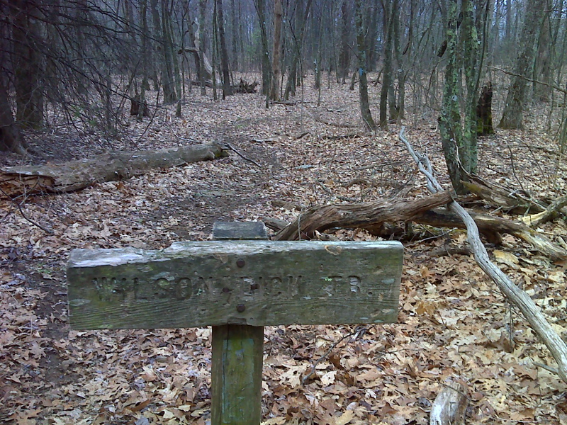
mm 12.2 Junction with the Wilson Lick Trail. GPS N35.1650 W83.5844
Submitted by pjwtzel @ gmail.com
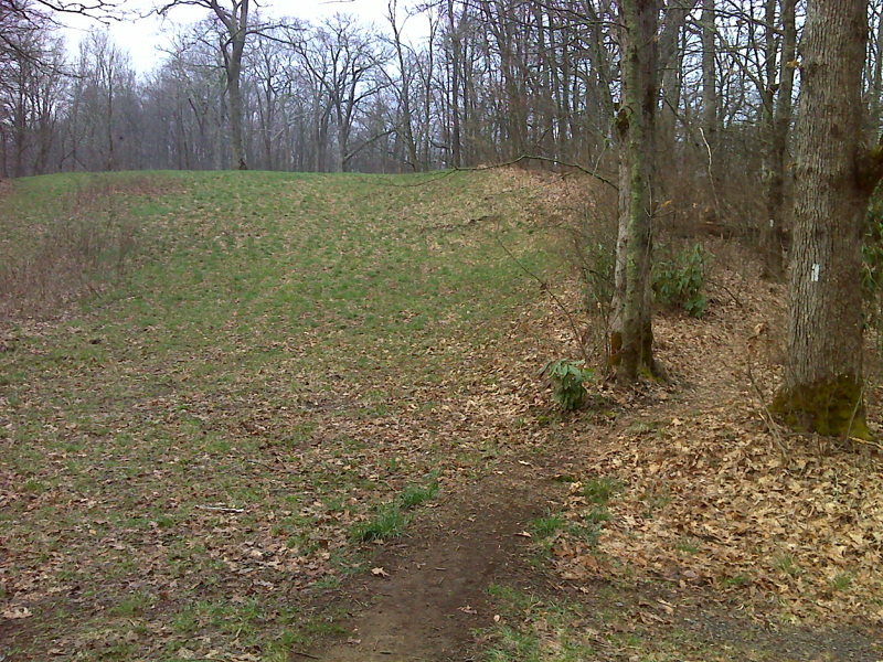
Small grassy field N of Wayah Gap. GPS 35.1637 N83.5786
Submitted by pjwetzel @ gmail.com
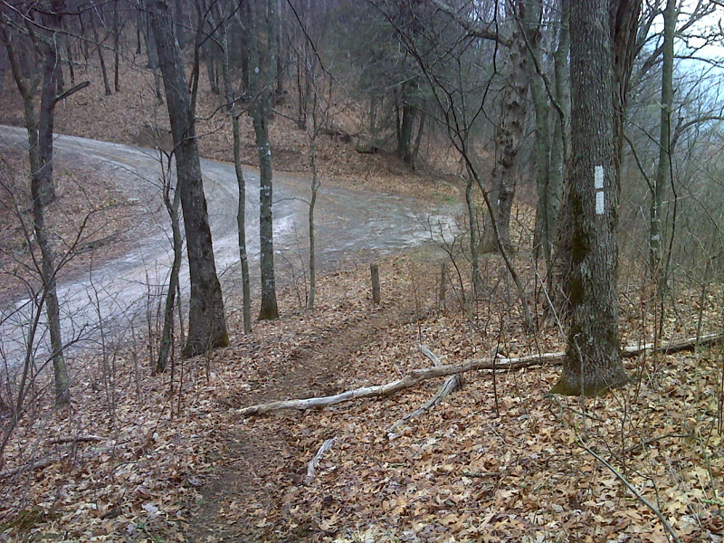
Parking area on USFS 69 0.4 miles north of Wayah Gap. GPS 35.1580 N83.5775
Submitted by pjwetzel @ gmail.com
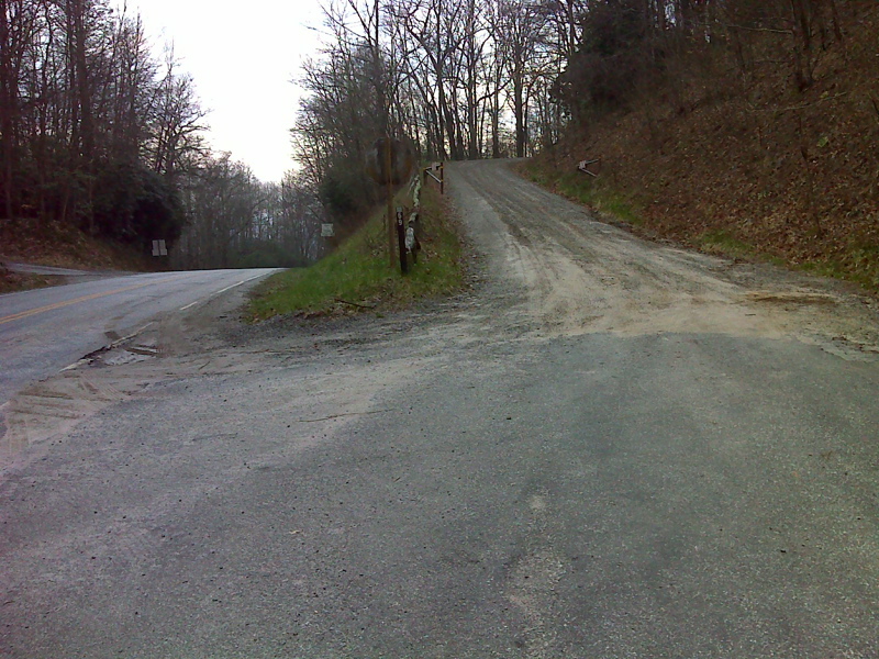
mm 13.5 Shoulder parking in Wayah Gap to right of USFS 69 to Wayah Bald. GPS 35.1539 N83.5807 Gravel Road entrance in left edge of photo is access road to Wayah Gap Picnic Area
Submitted by pjwetzel @ gmail.com
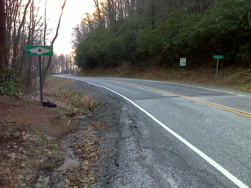
mm 13.5 AT crossing of NC 1310 in Wayah Gap. GPS N35.1539 W83.5805
Submitted by pjwetzel @ gmail.com