TN/NC Section 24 Pictures - Milemarker 0.0 - 1.7
Wayah Gap - Siler Bald
Move your mouse across the pictures for more information.
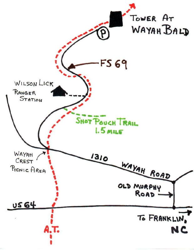
Map shows Wayah Road crossing in Wayah Gap and FS road 69 to tower. You can also see the short hike south to US route 64, not shown passing Sieler Bald.
Submitted by elversonhiker @ yahoo.com
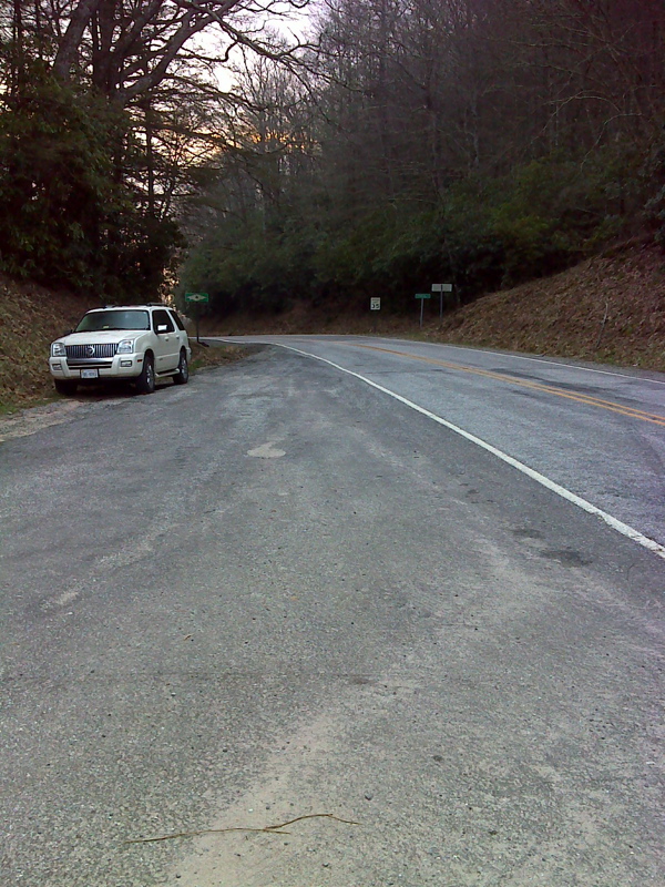
mm 0.0 Limited shoulder parking at Wayah Gap. GPS N35.1539 W83.5807
Submitted by pjwetzel @ gmail.com
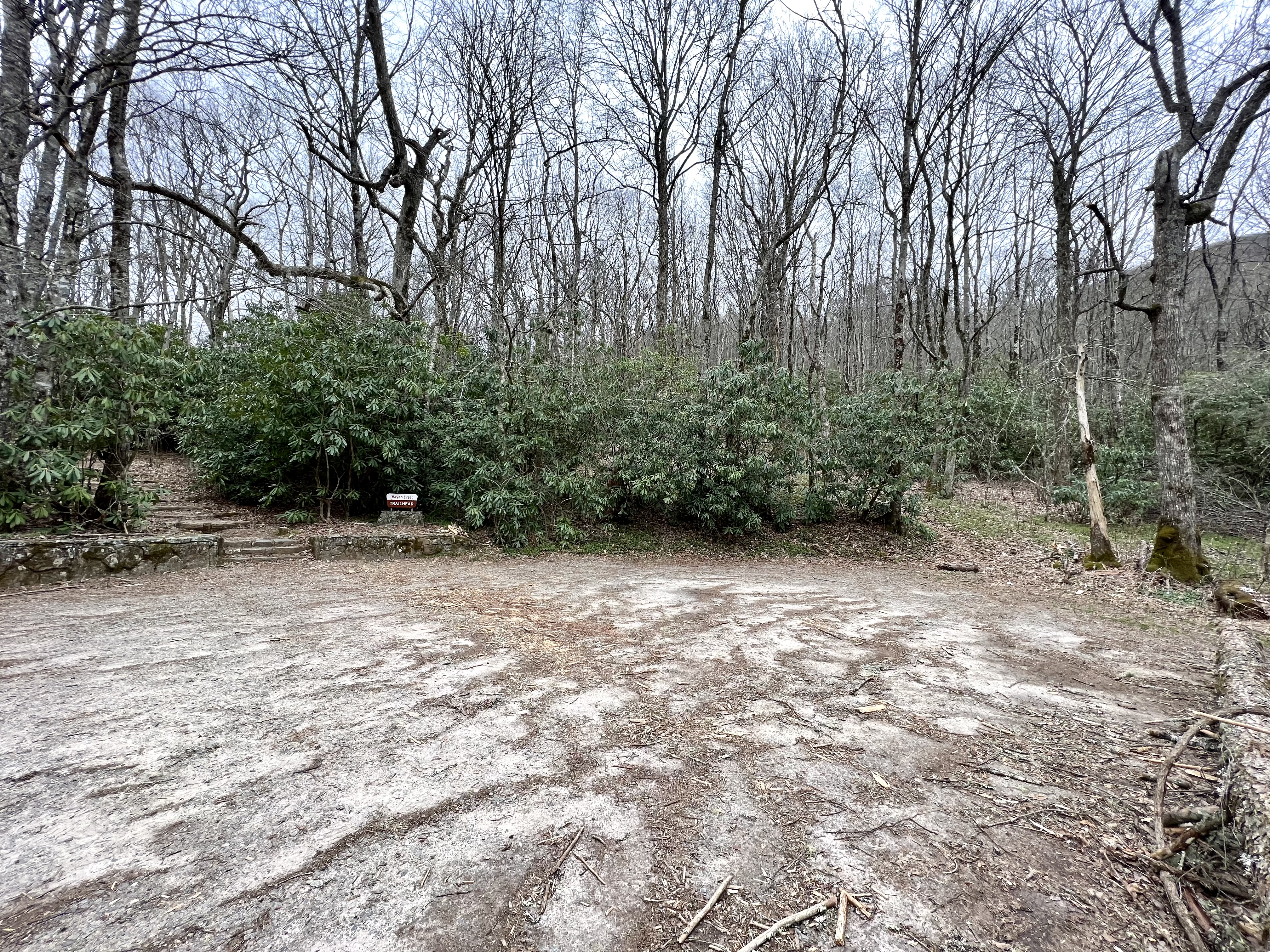
MM 00 Wayah Gap Picnic Area also identified as
Wayah Crest Trailhead. Walk up the stairs and continue straight until you
hit the AT.
Submitted by wardandda @ gmail.com
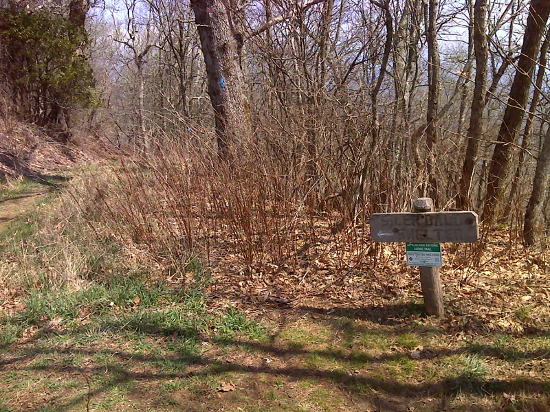
mm 1.7 Upper trail jct with side trail to Siler Bald Shelter. GPS N35.1421 W83.5759
Submitted by pjwetzel @ gmail.com
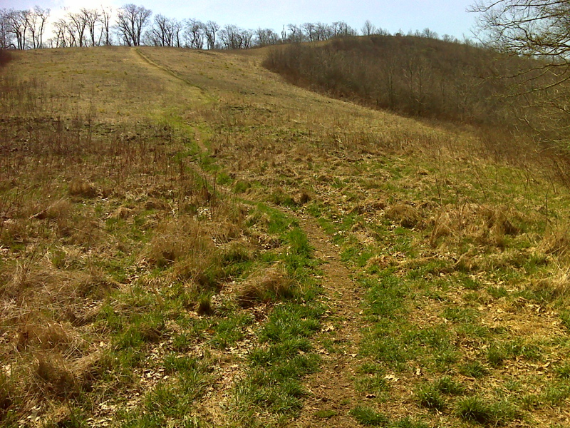
mm 1.7 Side trail to Siler Bald summit. GPS N35.1421 W83.5759
Submitted by pjwetzel @ gmail.com
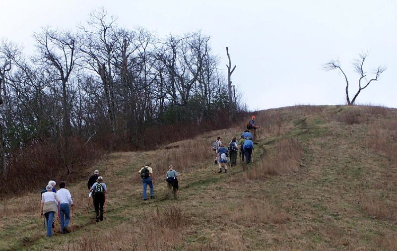
Trail south from Wayah Gap there is a side trail to the west to Siler Bald and its beautiful views. Another side trail to East leads to shelter.
Submitted by elversonhiker @ yahoo.com
Hikers resting at the top of Siler Bald
Submitted by elversonhiker @ yahoo.com

mm 1.7 View of Standing Indian from Siler Bald
Submitted by ghoul00 @ yahoo.com