TN/NC Section 24 Pictures - Milemarker 1.7 - 2.2
Siler Bald - Siler Bald Shelter
Move your mouse across the pictures for more information.
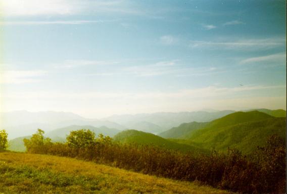
mm 1.7 View from summit of Siler Bald.
Submitted by ghoul00 @ yahoo.com
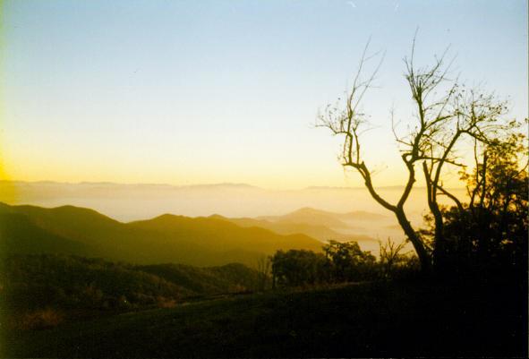
mm 1.7 Siler Bald
Submitted by ghoul00 @ yahoo.com
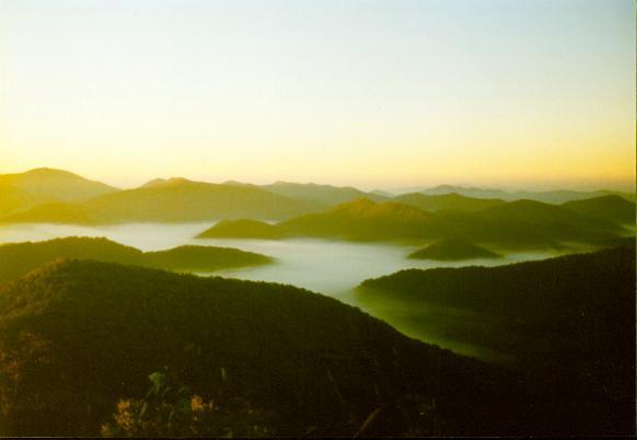
mm 1.7 early morning fog below Siler Bald
Submitted by ghoul00 @ yahoo.com
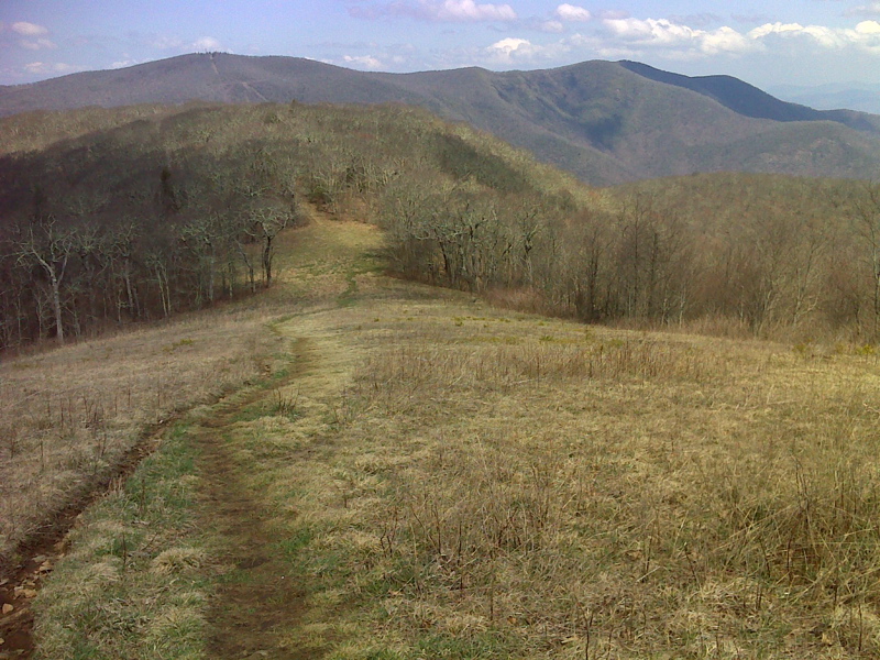
mm 1.7 Wine Spring Bald and Wayah Bald from Siler Bald. GPS N35.1406 W83.5759
Submitted by pjwetzel @ gmail.com
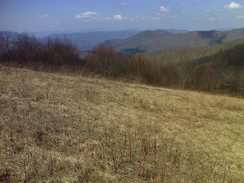
mm 1.7 Nantahala Lake seen from Siler Bald. GPS N35.1406 W83.5759
Submitted by pjwetzel @ gmail.com
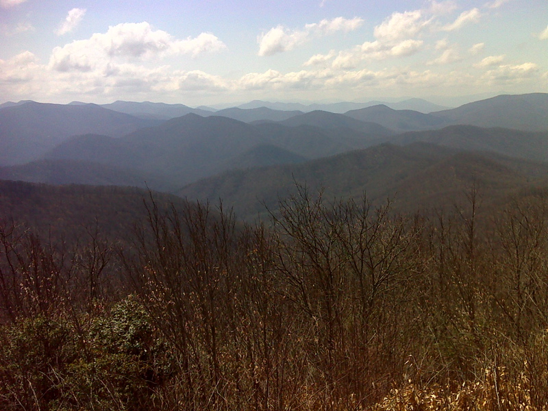
mm 1.7 View West from Siler Bald summit. GPS N35.1393 W83.5775
Submitted by pjwetzel @ gmail.com
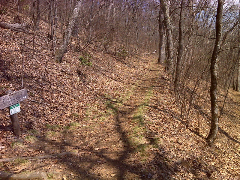
mm 2.2 Lower side trail jct to Siler Bald Shelter. GPS N35.1404 W83.5705
Submitted by pjwetzel @ gmail.com
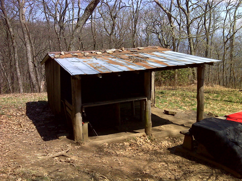
Siler Bald Shelter. This is reached by a loop trail, one end of which is at mm 1.7 and the other at mm 2.2 on the AT . It is 0.6 miles from the mm 1.7 intersection and 0.5 miles from the mm 2.2 intersection. GPS N35.1442 W83.5724
Submitted by pjwetzel @ gmail.com