TN/NC Section 25 Pictures - Milemarker 8.2 - 14.2
Mooney Gap - Coleman Gap
Move your mouse across the pictures for more information.
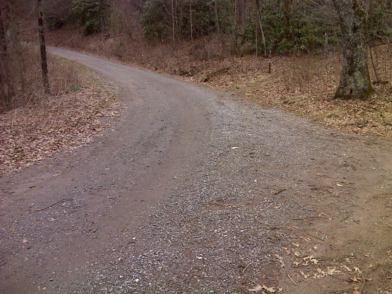
mm 8.2 Limited parking on shoulder at campsite, Mooney Gap. GPS N35.0355 W83.4700
Submitted by pjwetzel @ gmail.com
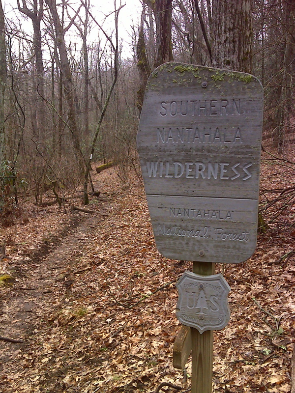
mm 8.2 After crossing USFS 83 in Mooney Gap, the southbound AT enters the Southern Nantahala Wilderness Area. GPS N35.0350 W83.4701
Submitted by pjwetzel @ gmail.com
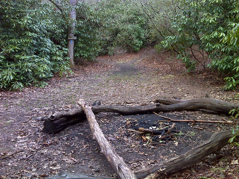
mm 9.1 Campsite in Betty Creek Gap. From here the Betty Creek Trail leads to USFS 67 in 0.2 miles. GPS N35.0284 W83.4787
Submitted by pjwetzel @ gmail.com
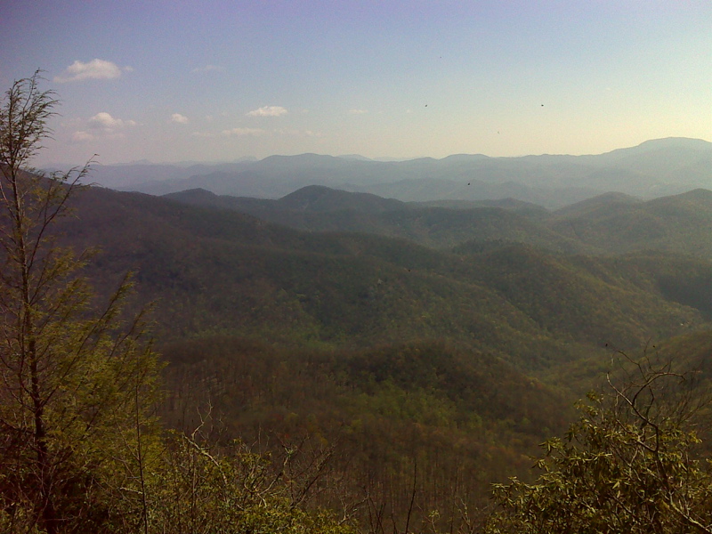
mm 11.1 View from Little Ridgepole Mountain. GPS N35.0078 W. 83.4811
Submitted by pjwetzel @ gmail.com
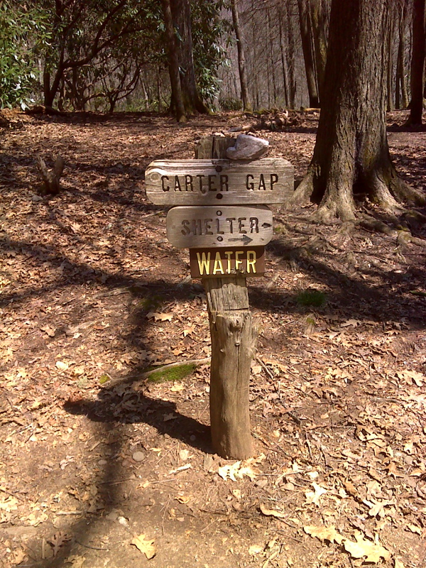
mm 12.8 Side Trail to Carter Gap Shelter. GPS N34.9996 W 83.4947
Submitted by pjwetzel @ gmail.com
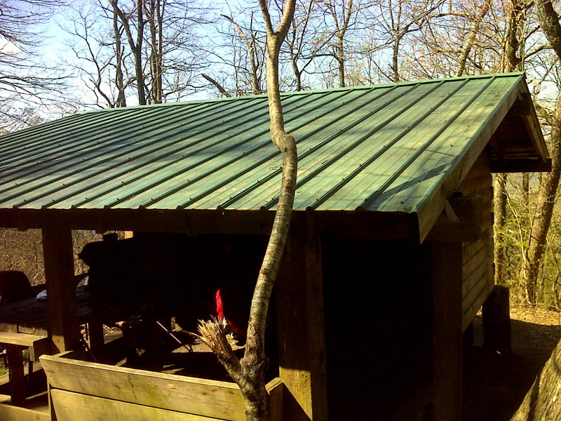
mm 12.8 Carter Gap Shelter. GPS N34.9991 W 83.4941
Submitted by pjwetzel @ gmail.com
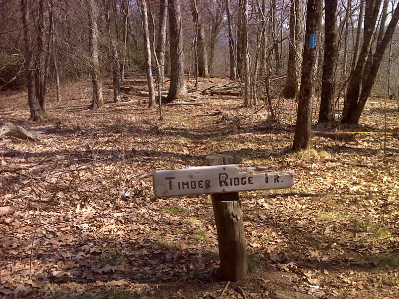
mm 13.2 Junction with Timber Ridge Trail. This blue-blazed trail leads 2.3 miles to USFS 67 . GPS N35.0031 W 83.4993
Submitted by pjwetzel @ gmail.com
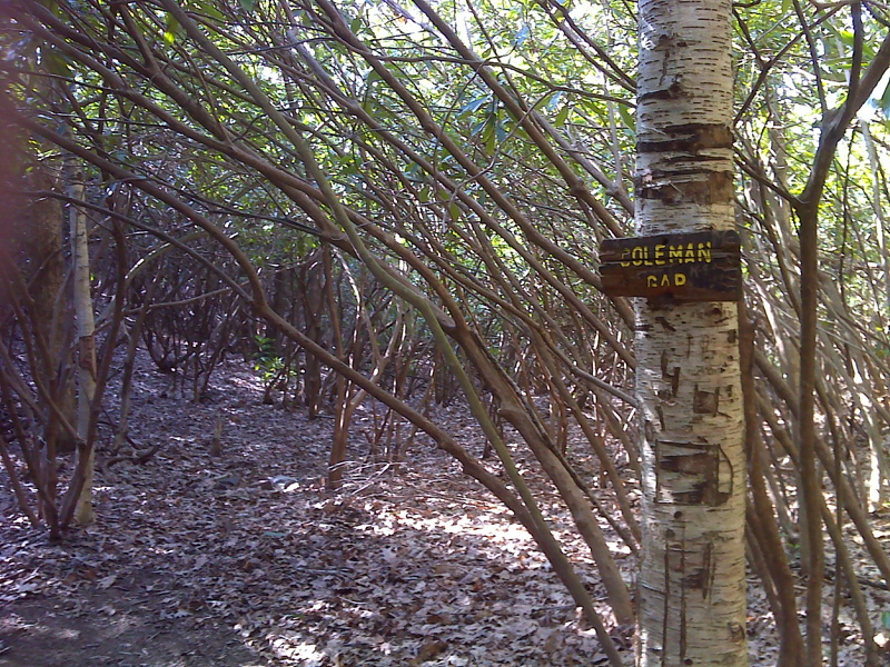
mm 14.2 Coleman Gap. GPS N35.0052 W 83.5103
Submitted by pjwetzel @ gmail.com