TN/NC Section 26 Pictures - Milemarker 0.0 - 4.1
Deep Gap - View South of Muskrat Creek Shelter
Move your mouse across the pictures for more information.
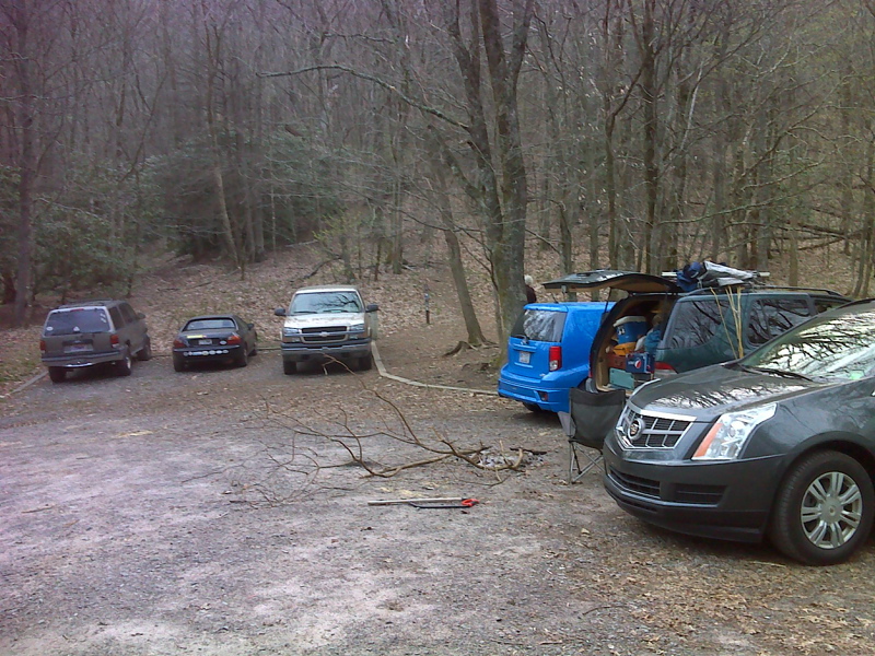
mm 0.0 Parking area at Deep Gap trail head. GPS N35.0395 W 83.5528
Submitted by pjwetzel @ gail.com
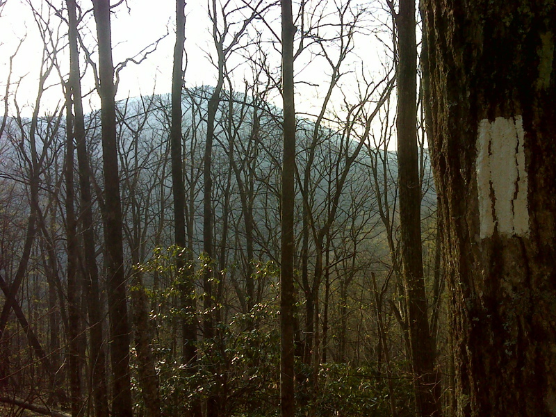
Winter view of Standing Indian Mt. from just south of Deep Gap. GPS N35.0448 W 83.5587
Submitted by pjwetzel @ gail.com
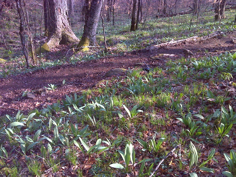
Rampant Ramps, 0.75 mile south of Deep Gap. GPS N35.0469 W 83.5606
Submitted by pjwetzel @ gail.com
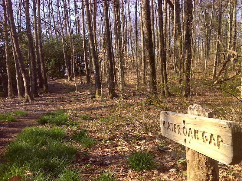
mm 2.1 Wateroak Gap. GPS N 35.0374 W 83.5618
Submitted by pjwetzel @ gail.com
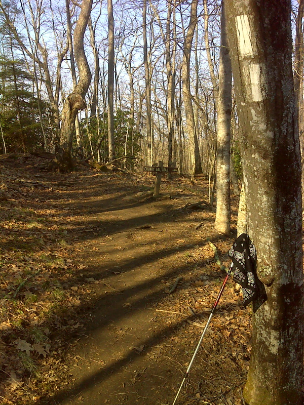
mm 3.0 Junction with Chunky Gal Trail. GPS N 35.0297 W 83.5716
Submitted by pjwetzel @ gail.com
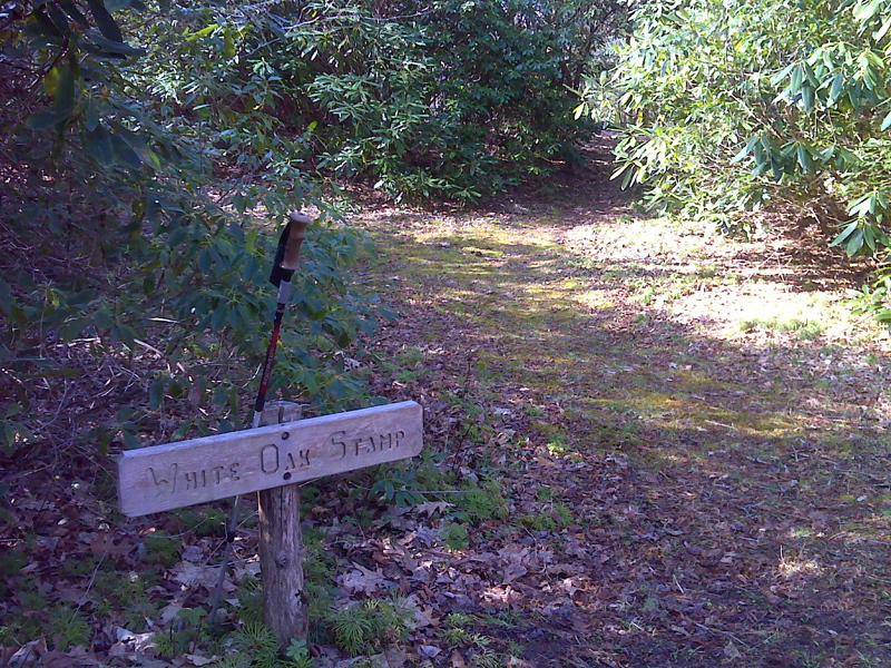
mm 3.2 Whiteoak Stamp. GPS N 35.0267 W 83.5720
Submitted by pjwetzel @ gail.com
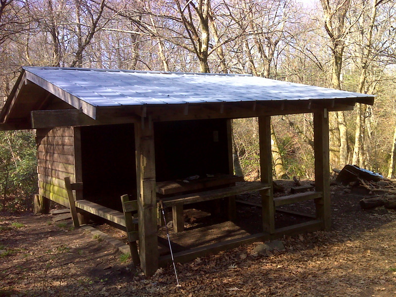
mm 4.0 Muskrat Creek Shelter. GPS N 35.0207 W 83.5814
Submitted by pjwetzel @ gail.com
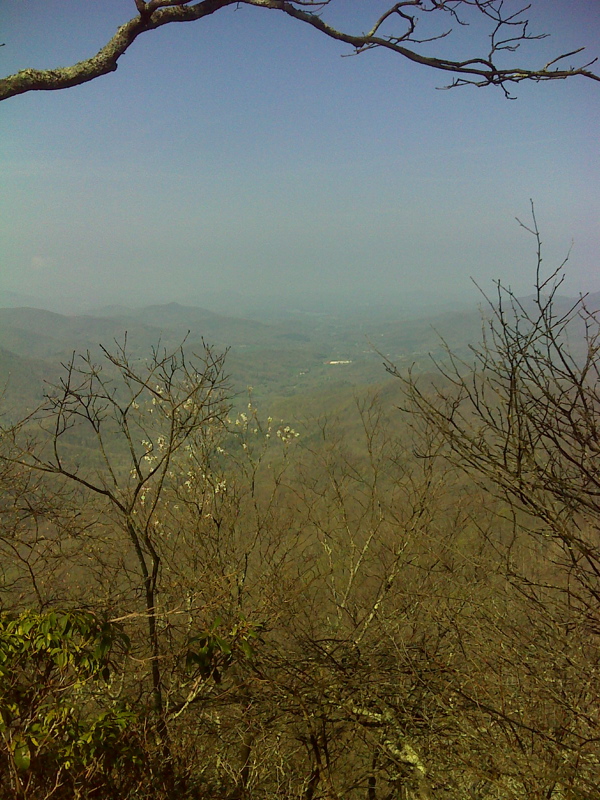
mm 4.1 Hazy vista from just south of Muskrat Creek Shelter. GPS N 35.0188 W 83.5816
Submitted by pjwetzel @ gail.com