TN/NC Section 3 Pictures - Milemarker 6.6 - 15.1
Limited Viewpoint - View of South End of Watauga Lake
Move your mouse across the pictures for more information.
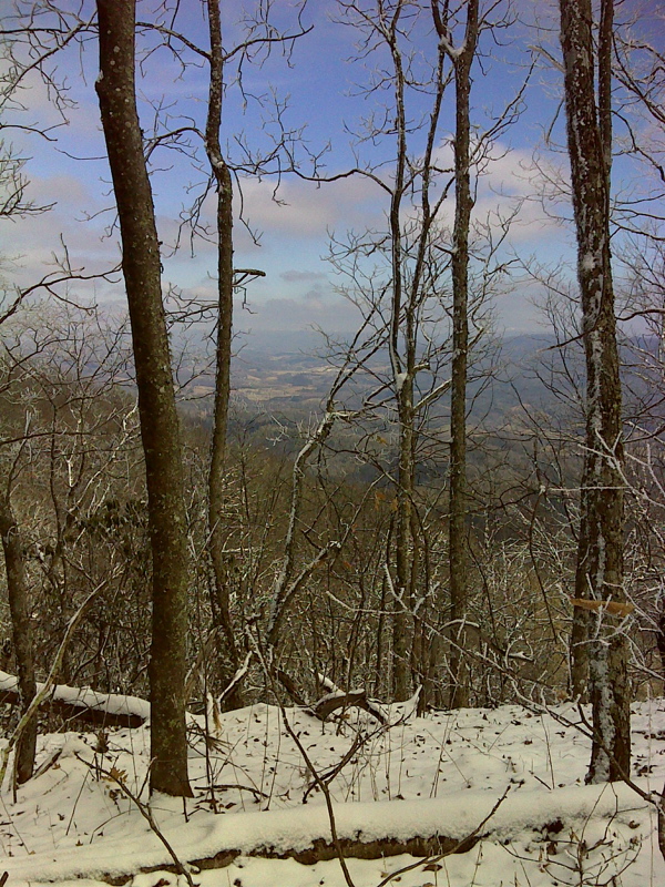
Limited view toward Mountain City vicinity at approximately mm 6.6. GPS N36.4167 W82.0062
Submitted by pjwetzel @ gmail.com
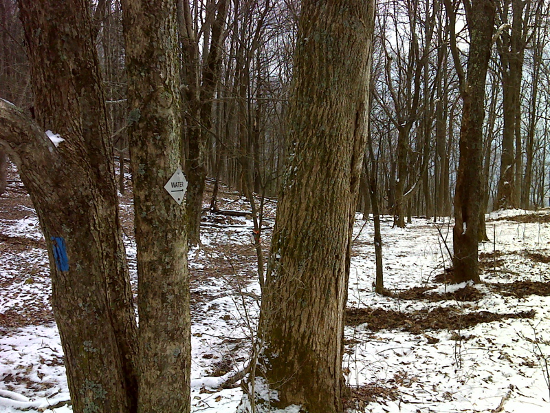
mm 7.6 Side trail to spring and campsite south of Turkeypen Gap. GPS N36.402 W82.0062
Submitted by pjwetzel @ gmail.com
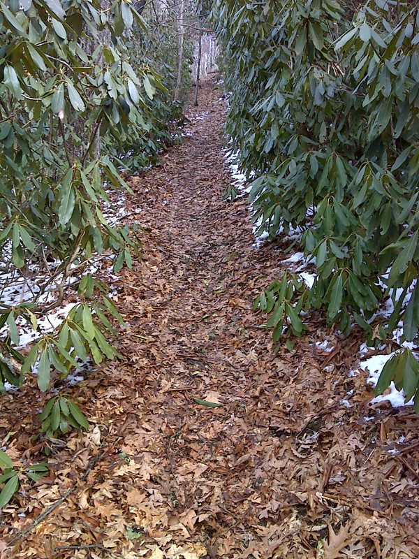
Rhododendron tunnel marks southern end of traverse above 4000 feet elevation. GPS N36.3942 W82.0297
Submitted by pjwetzel @ gmail.com
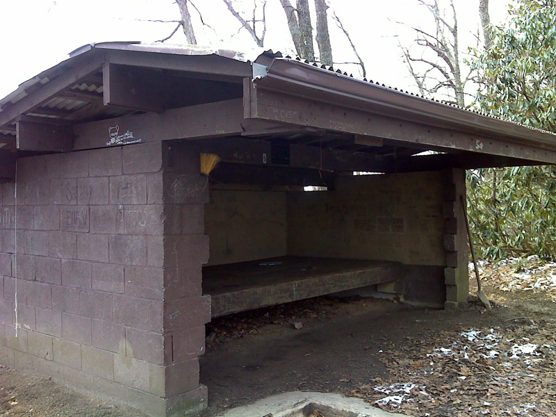
mm 11.4 Vandeventer Shelter
Submitted by pjwetzel @ gmail.com
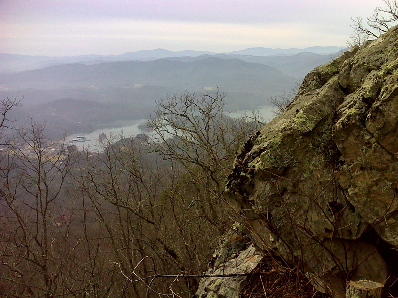
mm 11.4 View from right behind Vandeventer Shelter.
Submitted by pjwetzel @ gmail.com
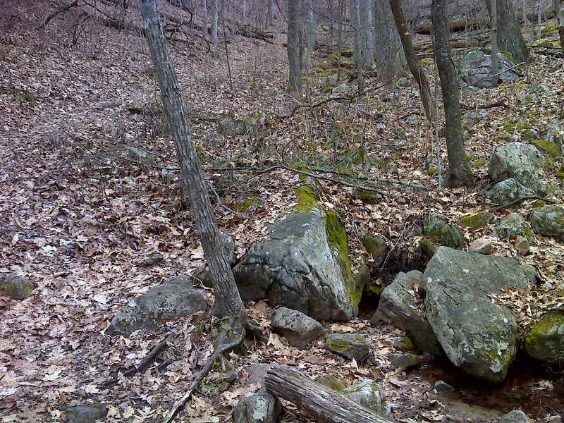
mm 13.1 Spring 2.7 miles north of Wilbur Lake Rd. GPS N36.3504 W82.0769
Submitted by pjwetzel @ gmail.com
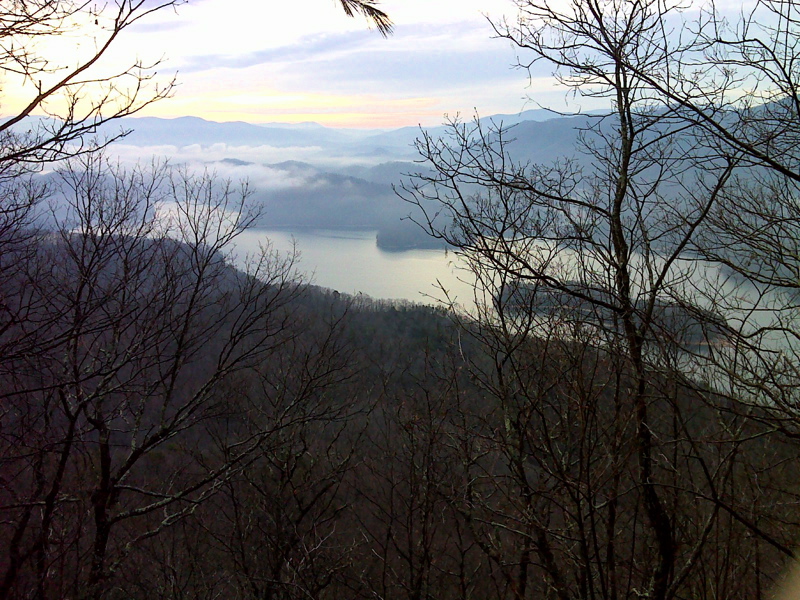
Morning at Watauga lake. GPS N36.3371 W82.0937
Submitted by pjwetzel @ gmail.com
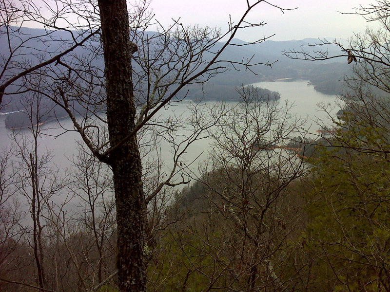
South end of Watauga Lake from AT. GPS N36.3315 W82.1038
Submitted by pjwetzel @ gmail.com