TN/NC Section 5 Pictures - Milemarker 10.8 - 12.8
Bitter End - Small Stream
Move your mouse across the pictures for more information.
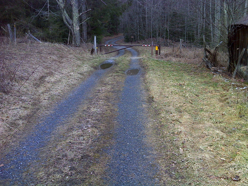
mm 10.8 USFS 293 in the area known as Bitter End
Submitted by dlcul @ conncoll.edu

mm 10.8 Parking on grassy shoulder at gate, Bitter End, USFS 293.
Submitted by pjwetzel @ gmail.com
Cascade on Laurel Fork. Taken at approx. mm 11.6
Submitted by dlcul @ conncoll.edu
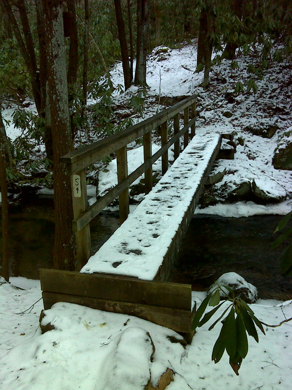
mm 11.8. Footbridge across Laurel Fork
Submitted by dlcul @ conncoll.edu

mm 11.8 Winter (February 2012) picture of footbridge over Laurel Fork.
Submitted by pjwetzel @ gmail.com
mm 12.3 Park bench at viewpoint. This is dedicated to Ron Frey who ran the nearby Abbys place hostel until his death in 2008.
Submitted by dlcul @ conncoll.edu
mm 12.3 View towards Roan Mastiff. The peak on the left is Hump Mountain. The one on the right is probably Roan High Knob. Within a minute of this picture, the mountains were shrouded in clouds.
Submitted by dlcul @ conncoll.edu
mm 12.8 The southbound trail parallels a small stream before finally crossing it.
Submitted by dlcul @ conncoll.edu