TN/NC Section 5 Pictures - Milemarker 18.0 - 19.0
Elk River - Jones Falls
Move your mouse across the pictures for more information.
mm 18.0 Elk River near the Sugar Hollow tenting area.
Submitted by dlcul @ conncoll.edu
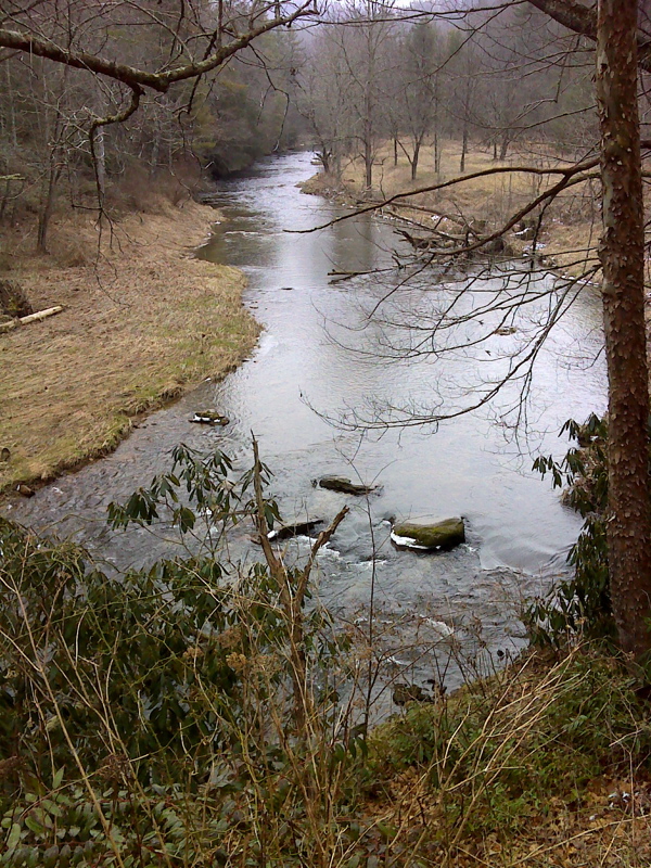
Elk River. This picture is taken from almost the same spot as the previous one. This one is a winter shot (February 2012) rather than a fall shot. The view is less obscured.
Submitted by pjwetzel @ gail.com
From the Sugar Hollow Tenting area, the southbound AT follows an unused road along the Elk River, then at mm 18.3 turns right and ascends, leaving the old road. This pictures is of the Elk River from near that point.
Submitted by dlcul @ conncoll.edu
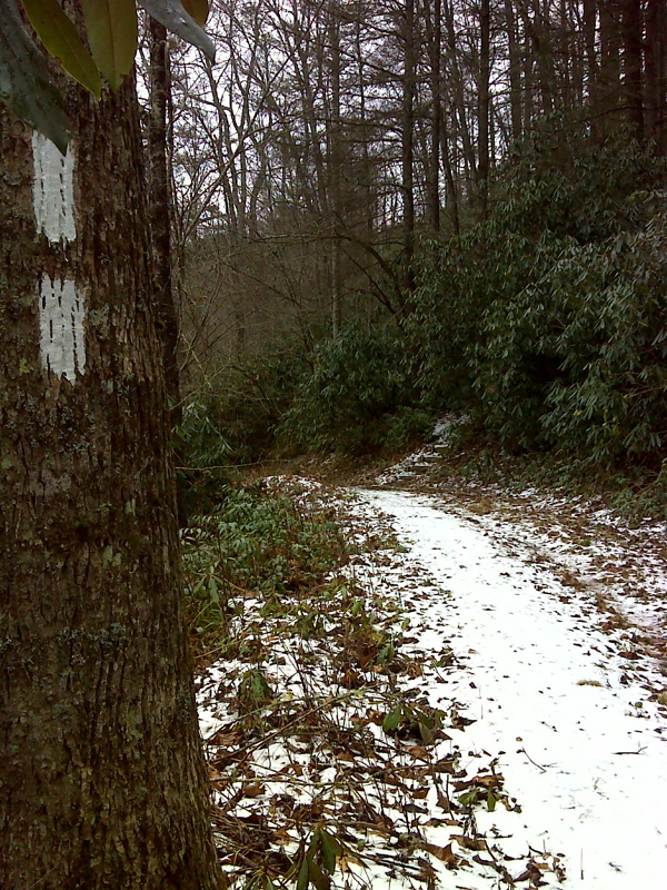
mm 18.3 AT southbound leaves Elk River at NC border. GPS N36.2044 W 81.9764
Submitted by pjwetzel @ gmail.com
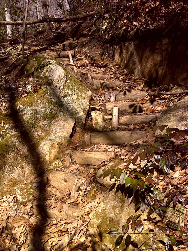
Winding staircase of 27 log steps.
Submitted by pjwetzel @ gmail.com
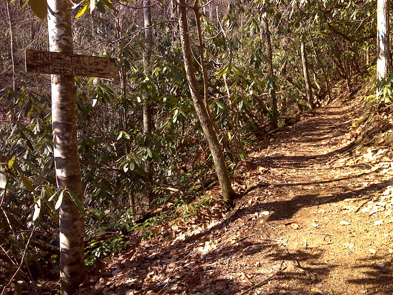
mm 19.0 Side trail to Jones Falls. GPS N36.2042 W. 81.9187
Submitted by pjwetzel @ gmail.com
mm 19.0 Jones Falls is at the end of a 0.1 blue-blazed spur off of the AT. The waterfall is 100 feet high and impressive even with the low water level found in October of a drought year (2008).
Submitted by dlcul @ conncoll.edu
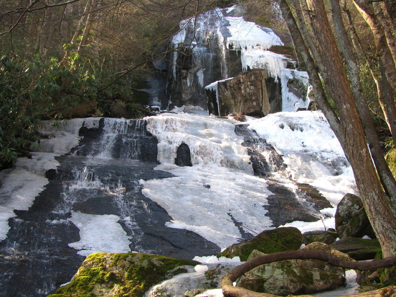
mm 19.0 Jones Falls in February 2012. GPS N36.2032 W. 81.9186
Submitted by pjwetzel @ gmail.com