TN/NC Section 5 Pictures - Milemarker 22.0 - 24.2
Ridgetop Meadow - Bear Branch
Move your mouse across the pictures for more information.

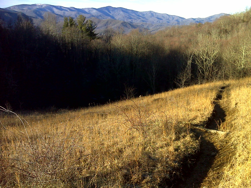
Roan Highlands from field south of Buck Mtn Rd. This was taken at approx. mm 22.0 in February 2012. GPS N36.1928 W82.0046
Submitted by pjwetzel @ gmail.com
View from former pasture at top of ridge. Taken at approx. mm 22.0
Submitted by dlcul @ conncoll.edu
Near Bishop Hollow. Taken at approx. mm 22.8
Submitted by gstrine @ embarqmail.com
mm 22.8 Stile. Southbound it is only a short distance to the upper end of Bishop Hollow.
Submitted by dlcul @ conncoll.edu
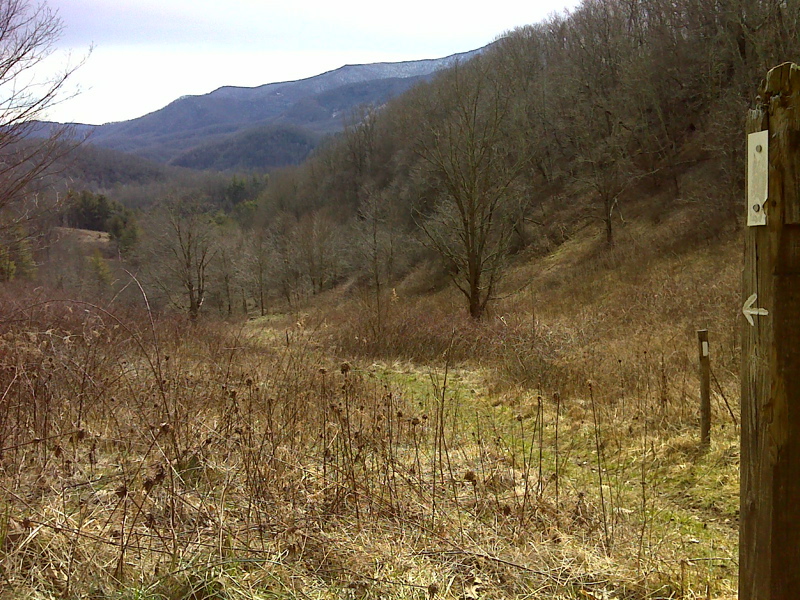
mm 22.9 View from upper end of Bishop Hollow.
Submitted by dlcul @ conncoll.edu

mm 22.9 View from upper end of Bishop Hollow in February 2012. GPS N36.1903 W 82.0132
Submitted by pjwetzel @ gmail.com
Flowering bush in Bishop Hollow. Taken at approx. mm 23.1.
Submitted by dlcul @ conncoll.edu
mm 23.3 Lower end of Bishop Hollow
Submitted by dlcul @ conncoll.edu

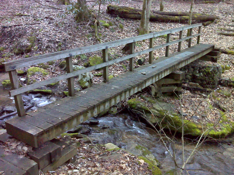
mm 24.2 Bridge over Bear Branch. GPS N36.1802 W 82.0122
Submitted by pjwetzel @ gmail.com